
MISSOULA & GLACIER NATIONAL PARK
12-17 AUGUST, 2018
MISSOULA
Missoula, located in central Montana was a necessary ‘business’ stopover on my itinerary. It’s a town of around 70,000 people, many of them college students. It’s a blip in the middle of a lot of nothing, and while I enjoyed my stay, it wouldn’t be somewhere I could live.
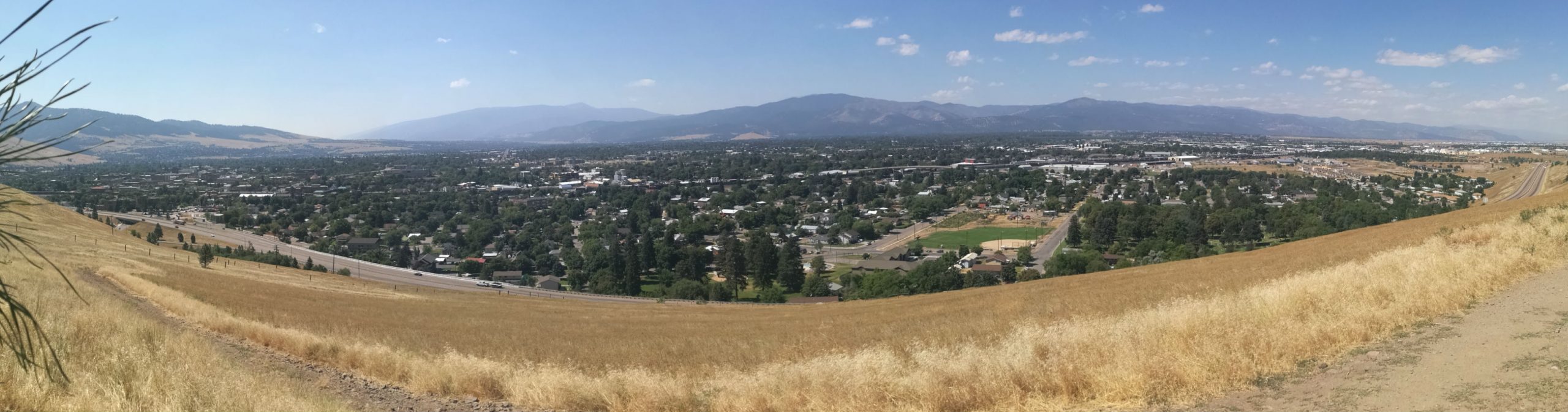
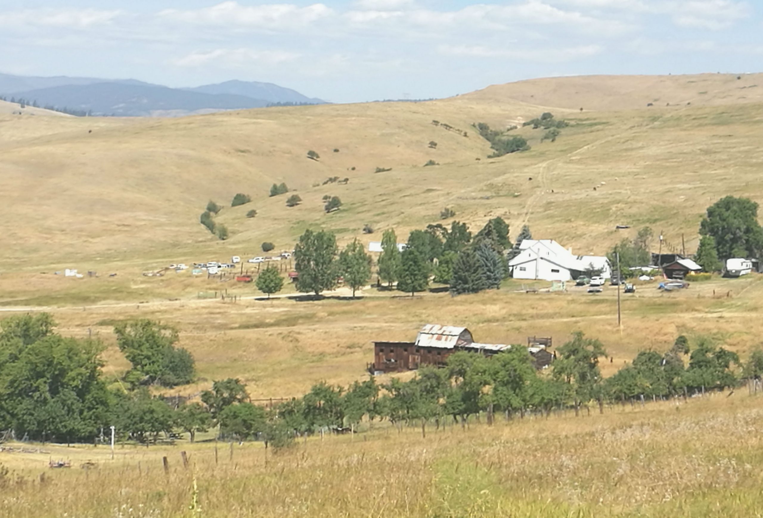
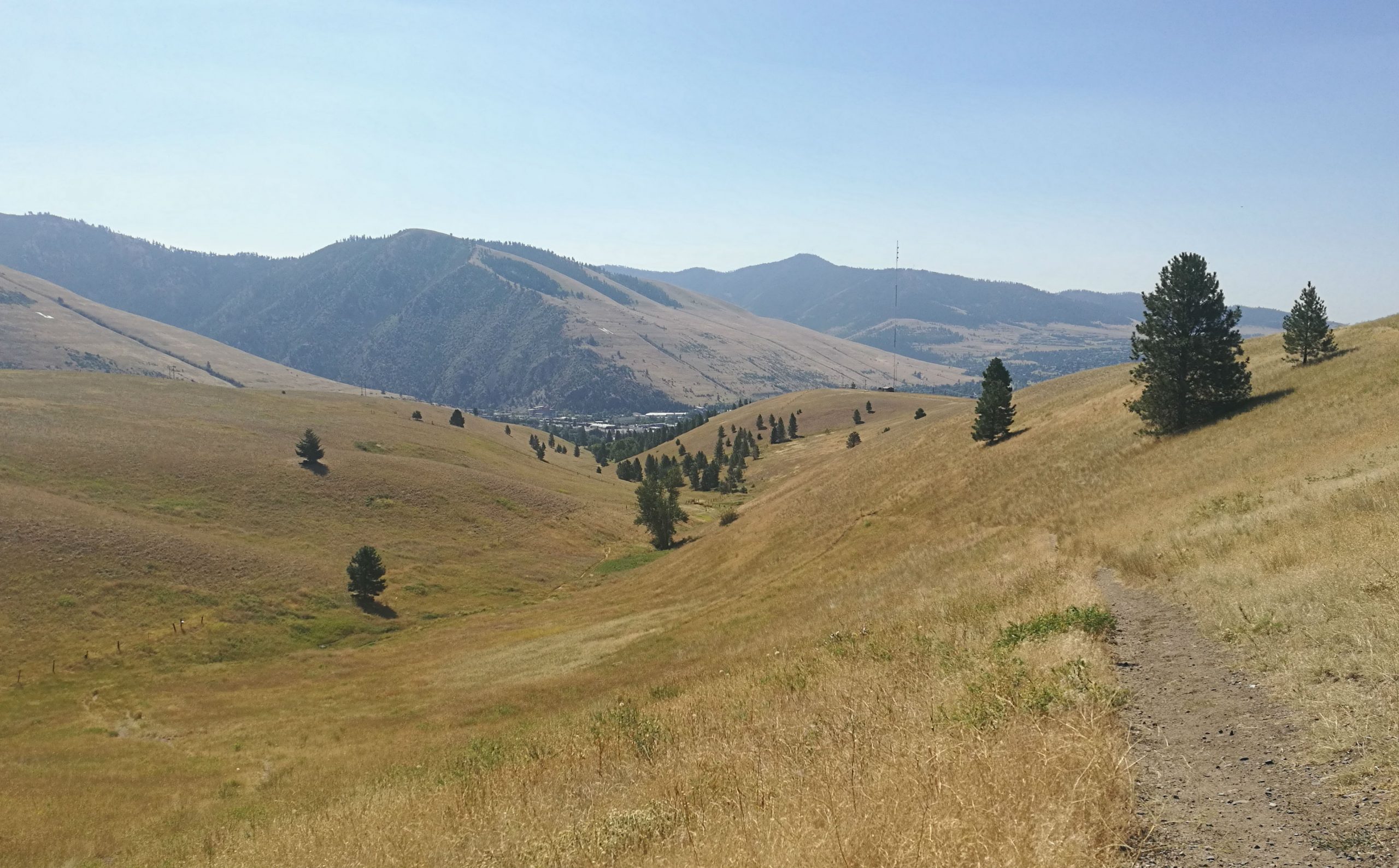
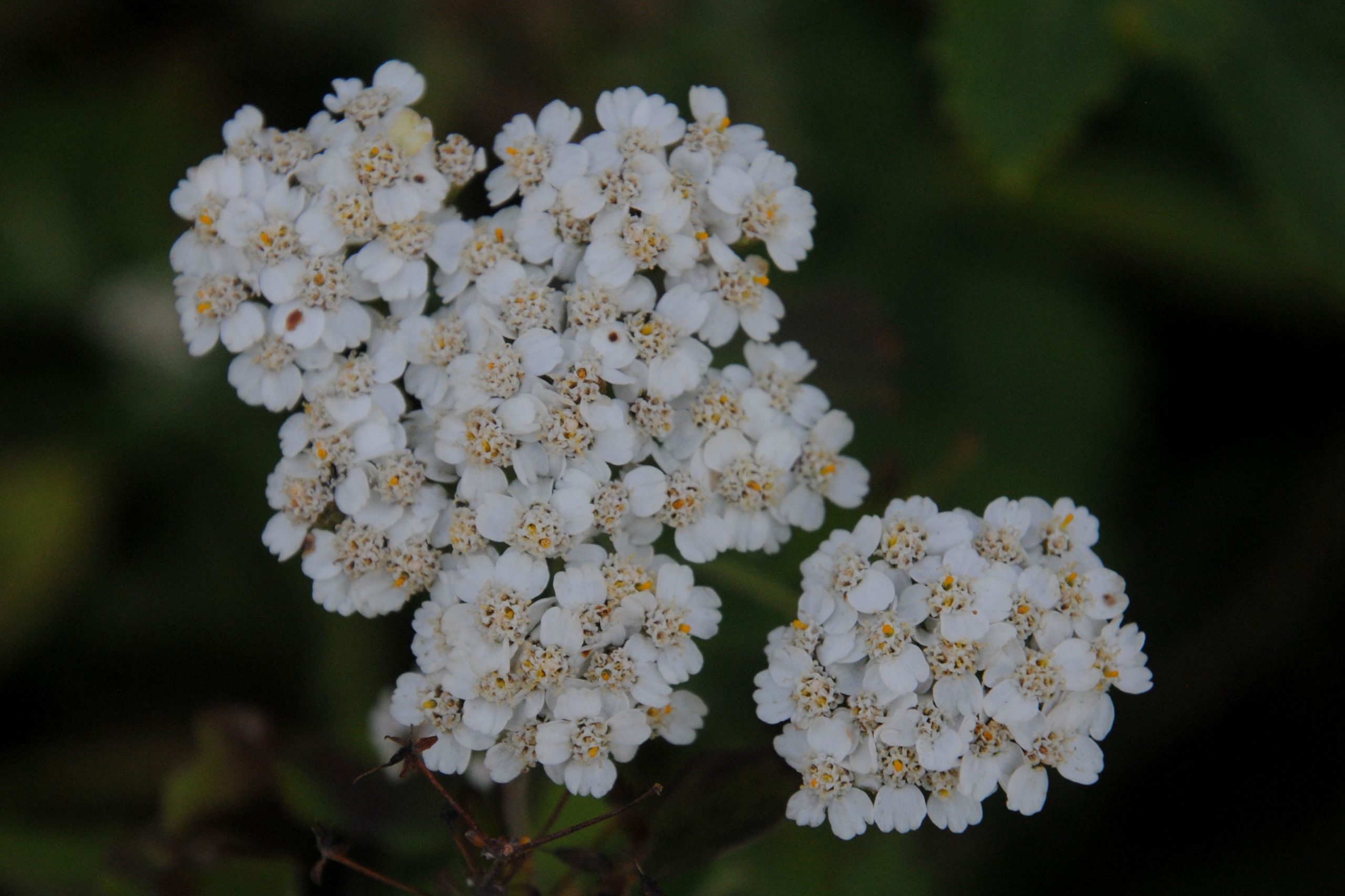
Mountain peaks and National Forest reserves surround Missoula. I was able to catch a glimpse of the lay of the land while out for a hike on Waterworks Hill. A friendly local tipped me off to a great loop hike in the area, and while I was a few weeks lake for the wildflowers, I did manage to take in the views of the city from the top of the hill.
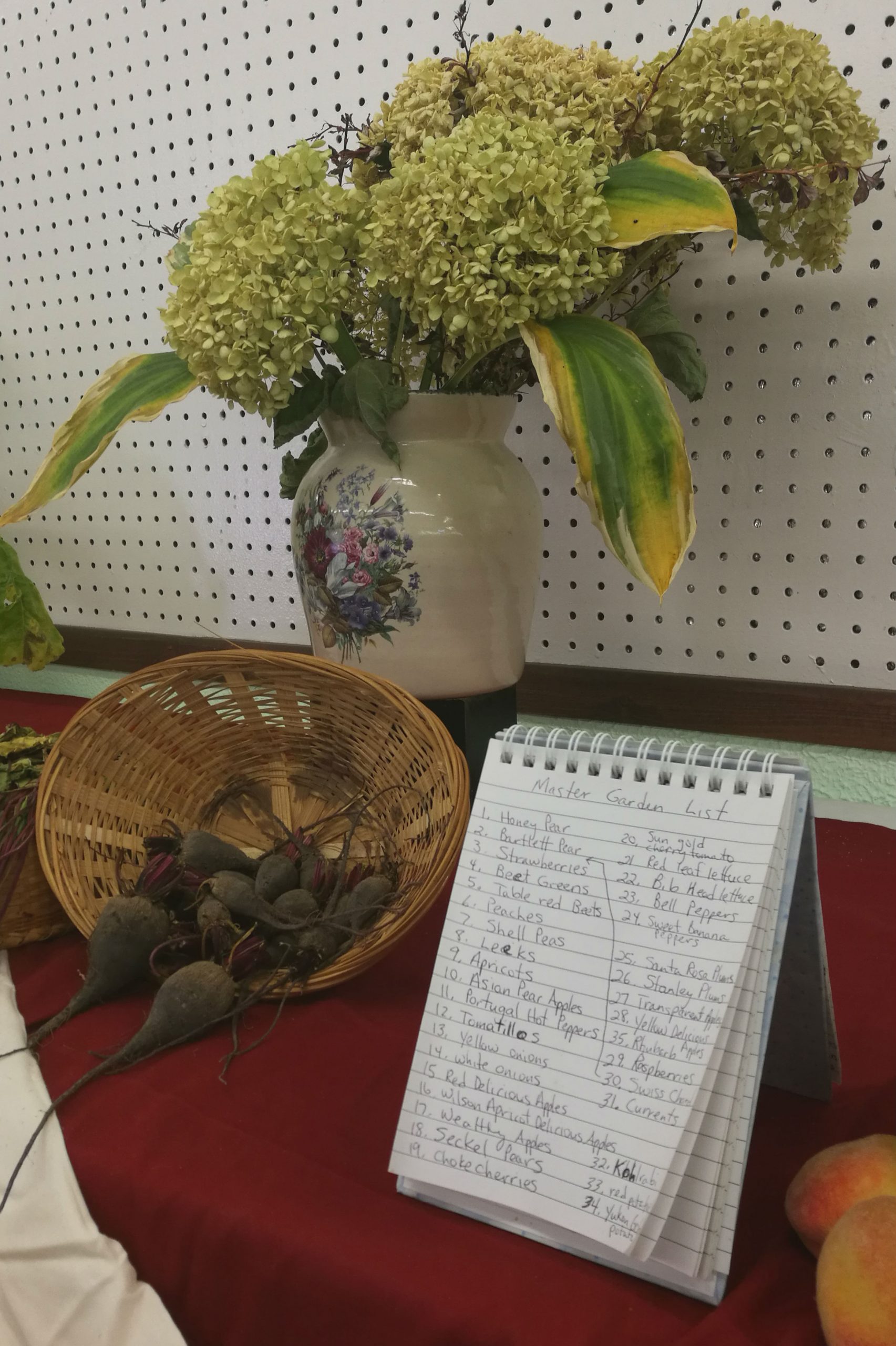
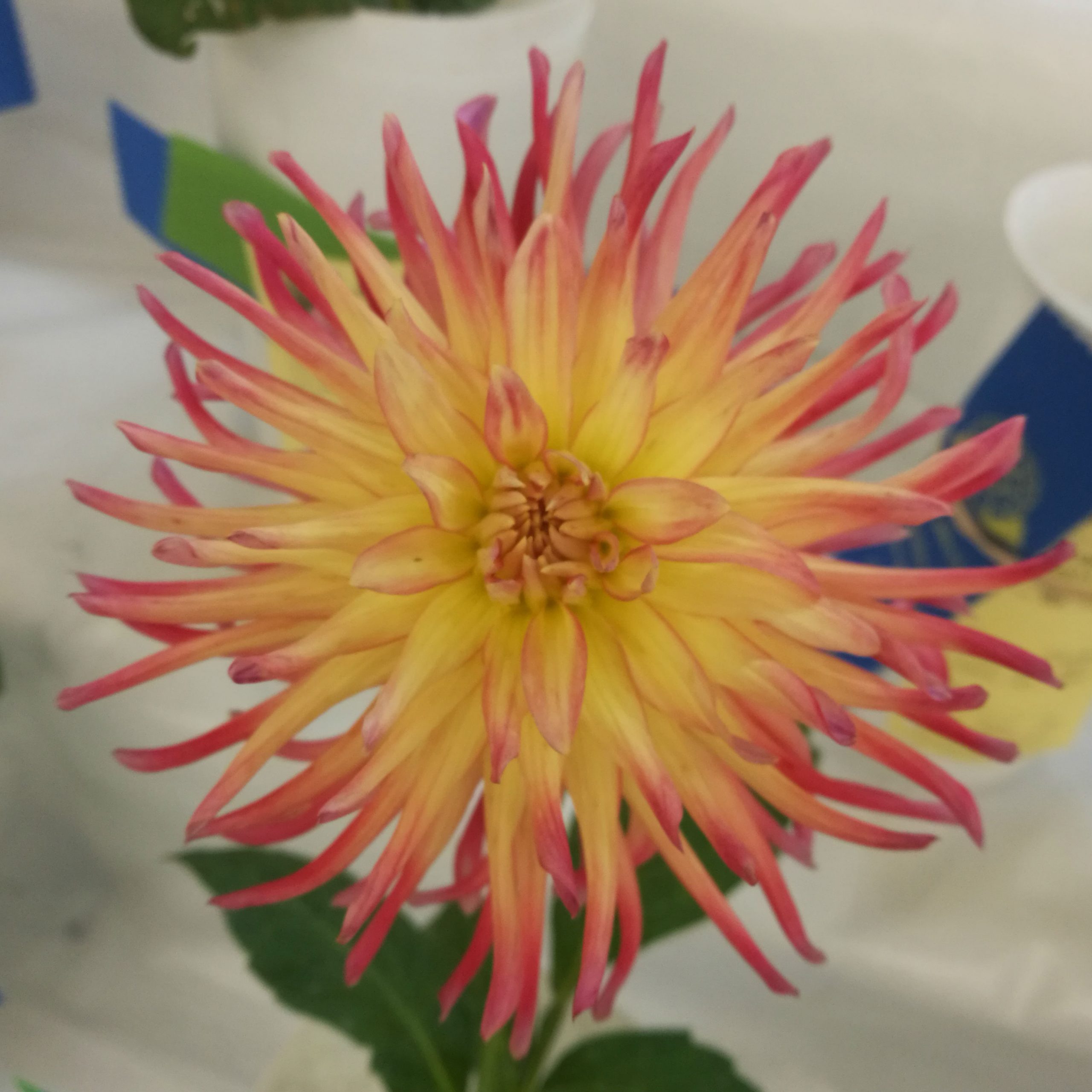
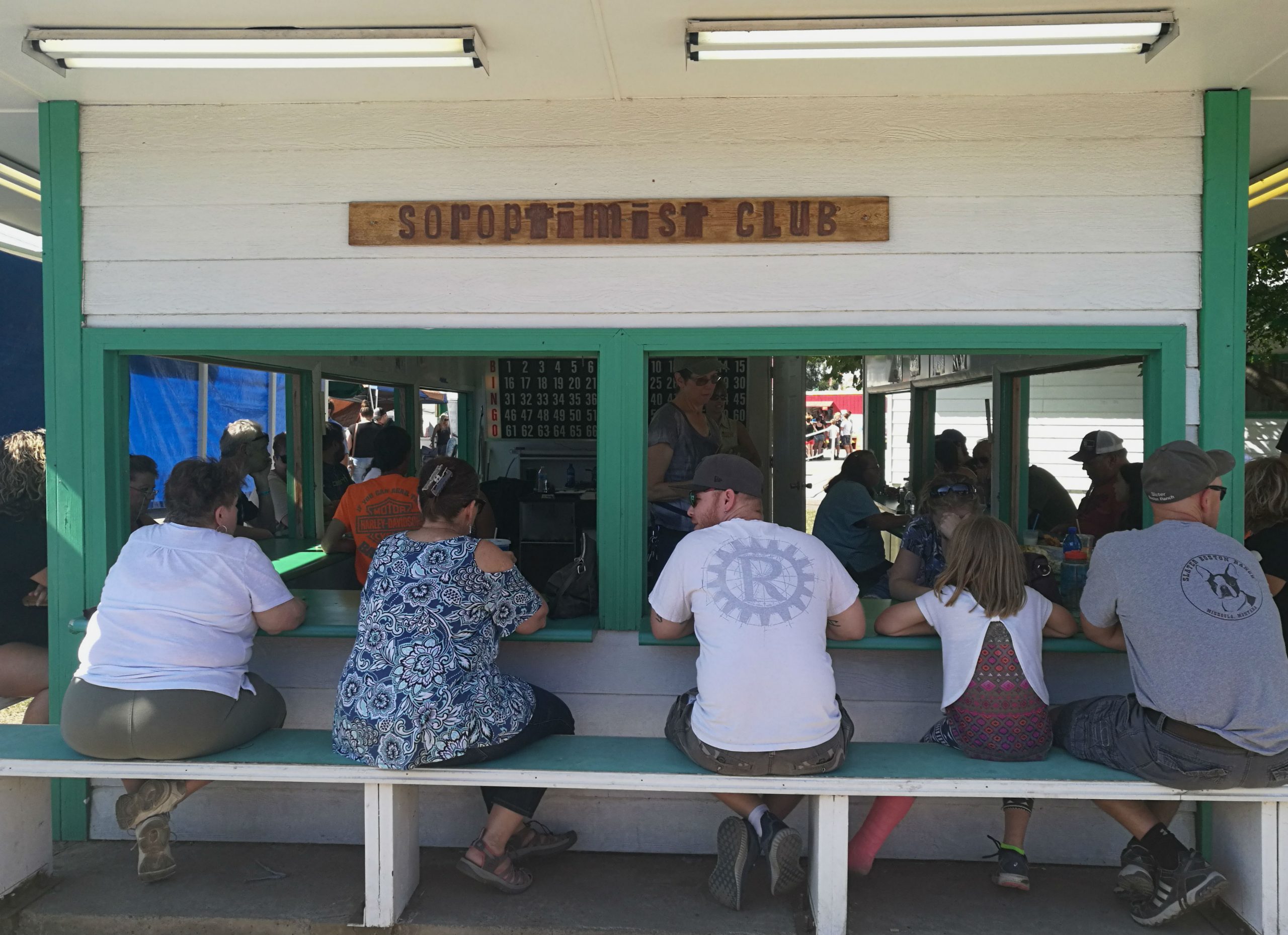
The Western Montana fair was in town during my stay, but unfortunately it was the last day of the fair, so was winding down, and all of the animals had vacated the premises. I took a look around the craft pavilions, as well as the horticulture/agriculture pavilion, at the flowers/vegetables… Once I had visited each of the halls, it turned out that there wasn’t much left to see. Many of the attendants at the fair had made their way into the Monster Truck rally, and the few that weren’t attending that were playing bingo, or indulging in the rides amongst the sideshow attractions

GLACIER NATIONAL PARK
Glacier National Park straddles the border of the USA and Canada. The majority of the park is located in the northern part of Montana, with the Waterton Lakes region located across the border in Canada. Established in 1910, Glacier joined with the Waterton Lakes National Park in 1932 to become the world’s first international park – Waterton-Glacier International Peace Park. The parks were designated as a Biosphere Reserve in the 1970’s, and as a World Heritage Site in 1995.
The park holds great importance to the local American Indian tribes, and all those who visit for it’s great ecological diversity. Here, plants and animals of the plains and the northern forests meet and coexist.
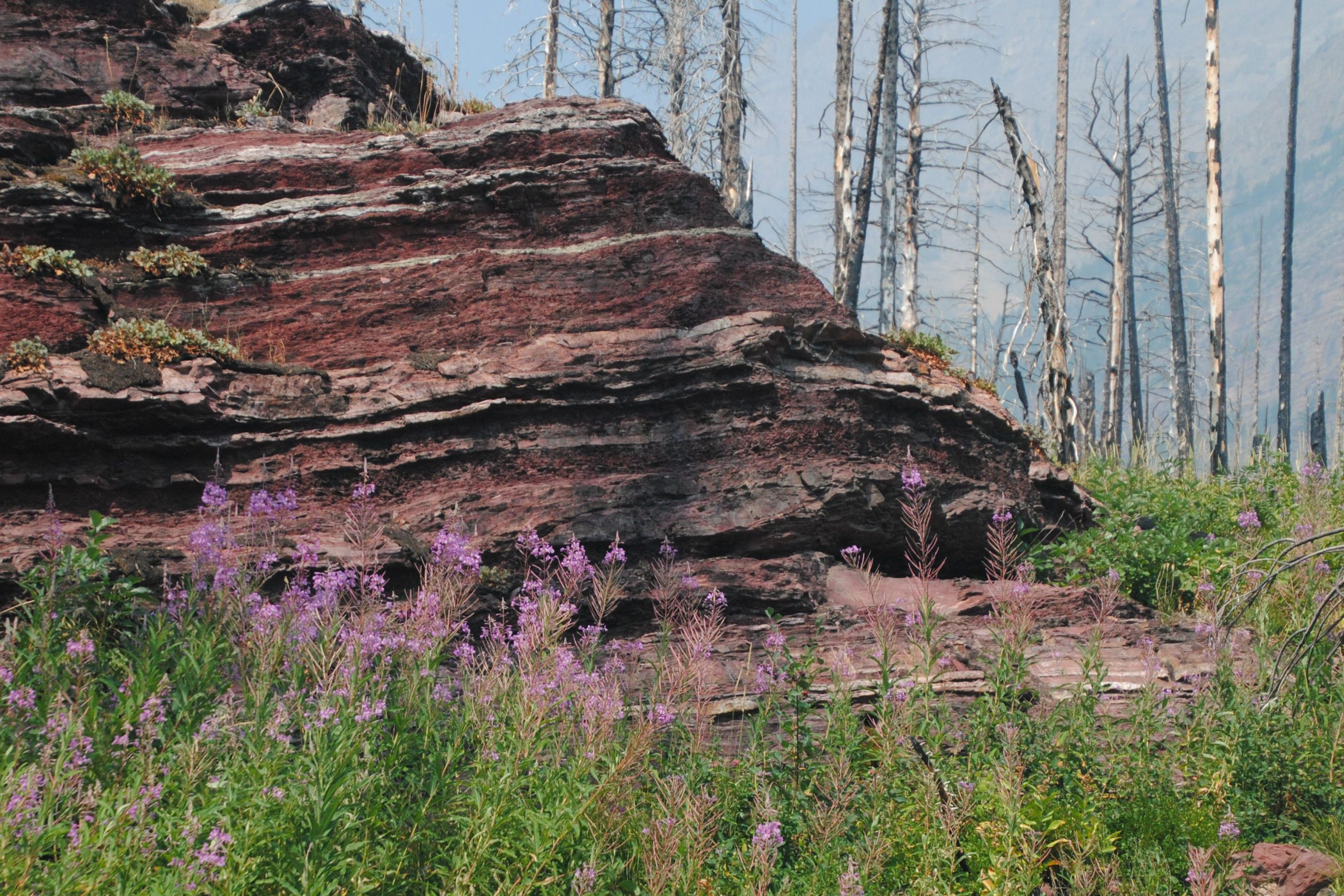
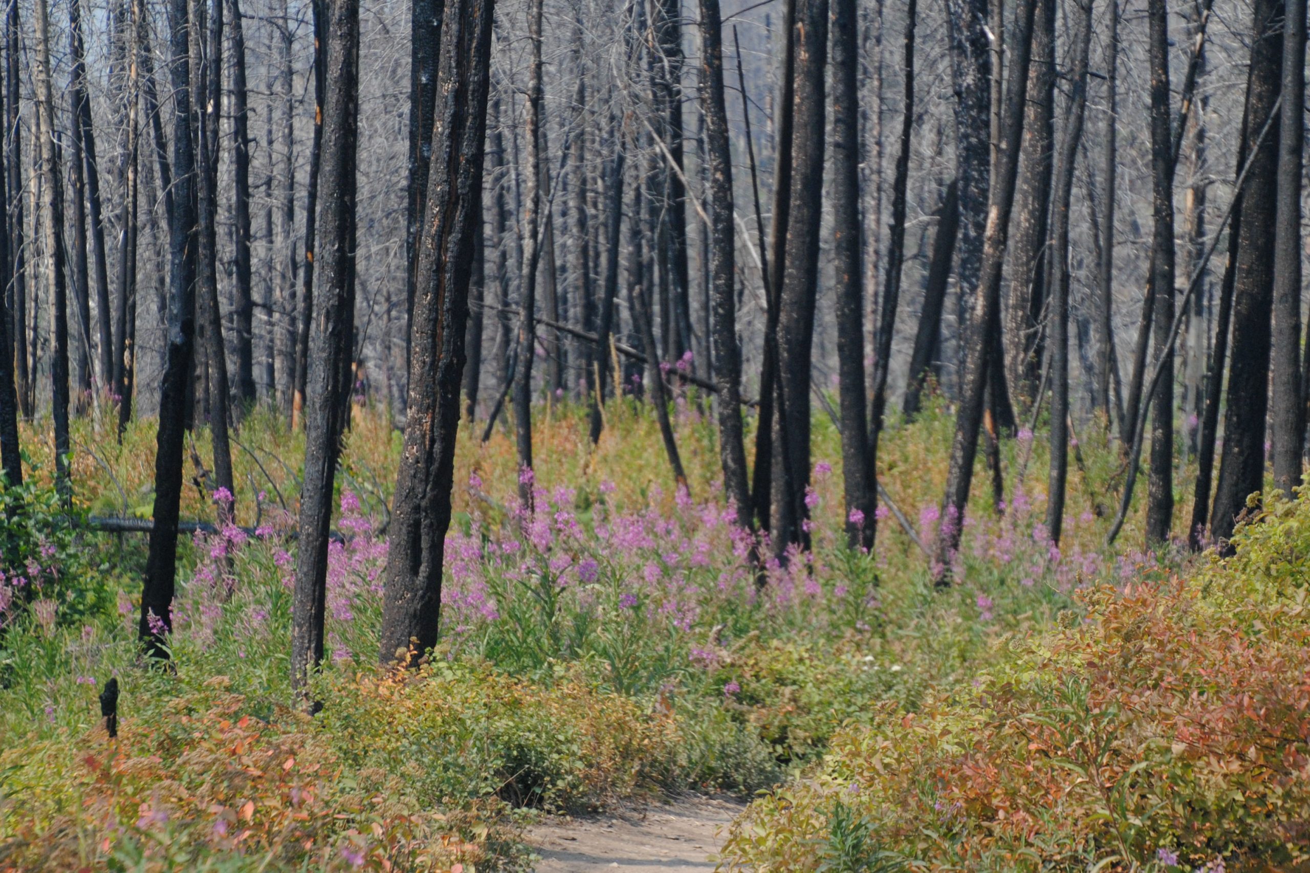
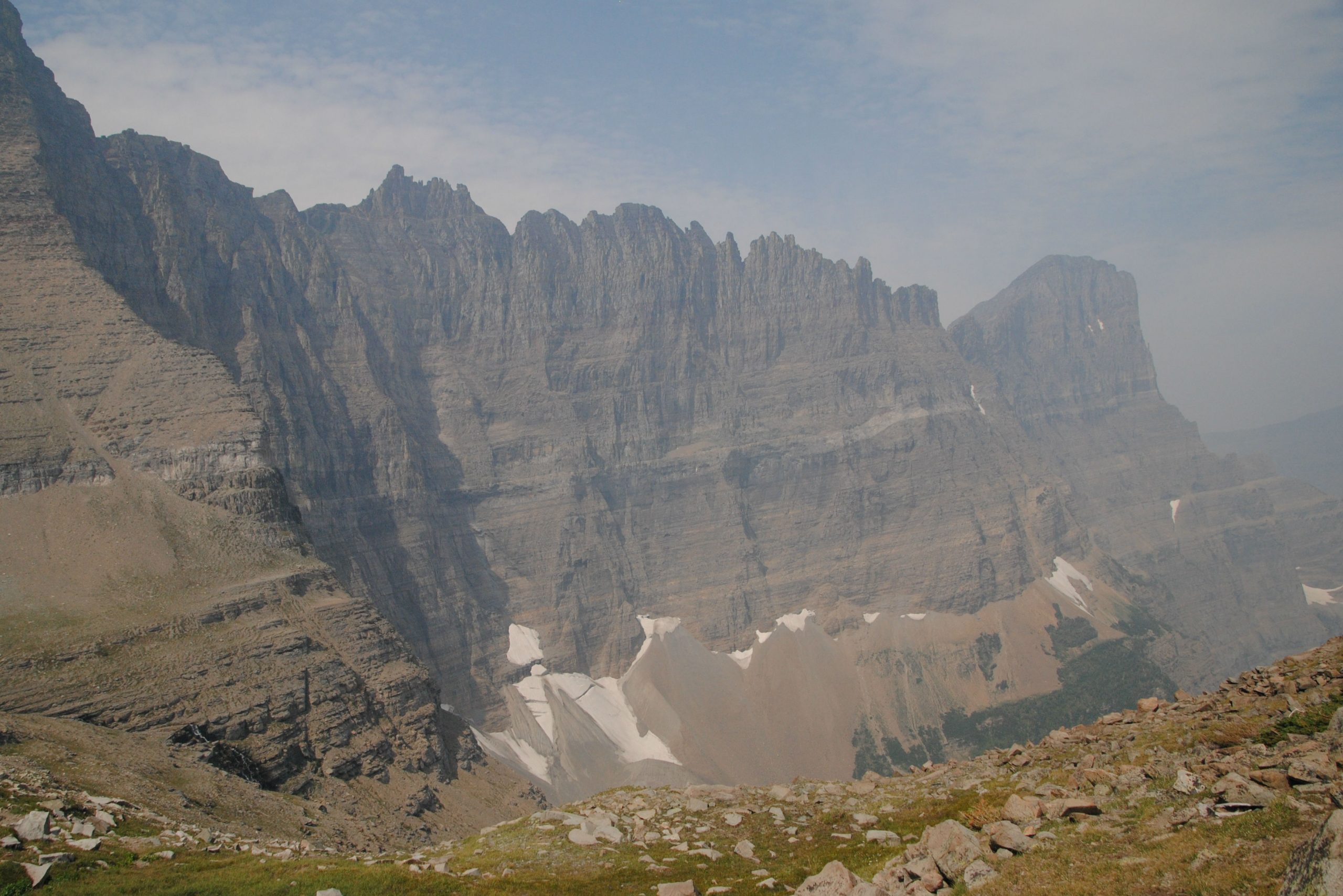
The mountain range was formed some 75 million years ago. Jagged peaks in this area captured moisture which formed glaciers that carved out the current landscape. Most of these original glaciers melted away some 12,000 years ago, and the only glaciers remaining in the area are in the coldest parts of the park (which are also the highest) . It is estimated that the last of these glaciers in the park will have melted away by 2020, due to severe environmental conditions we are experiencing these days
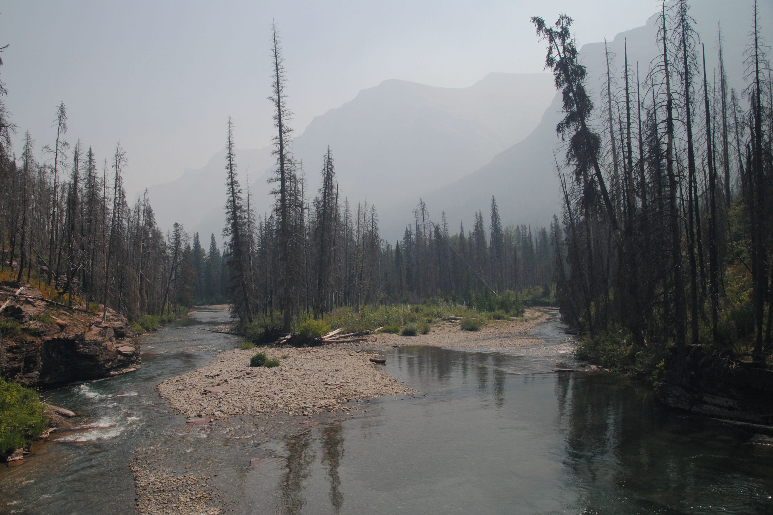
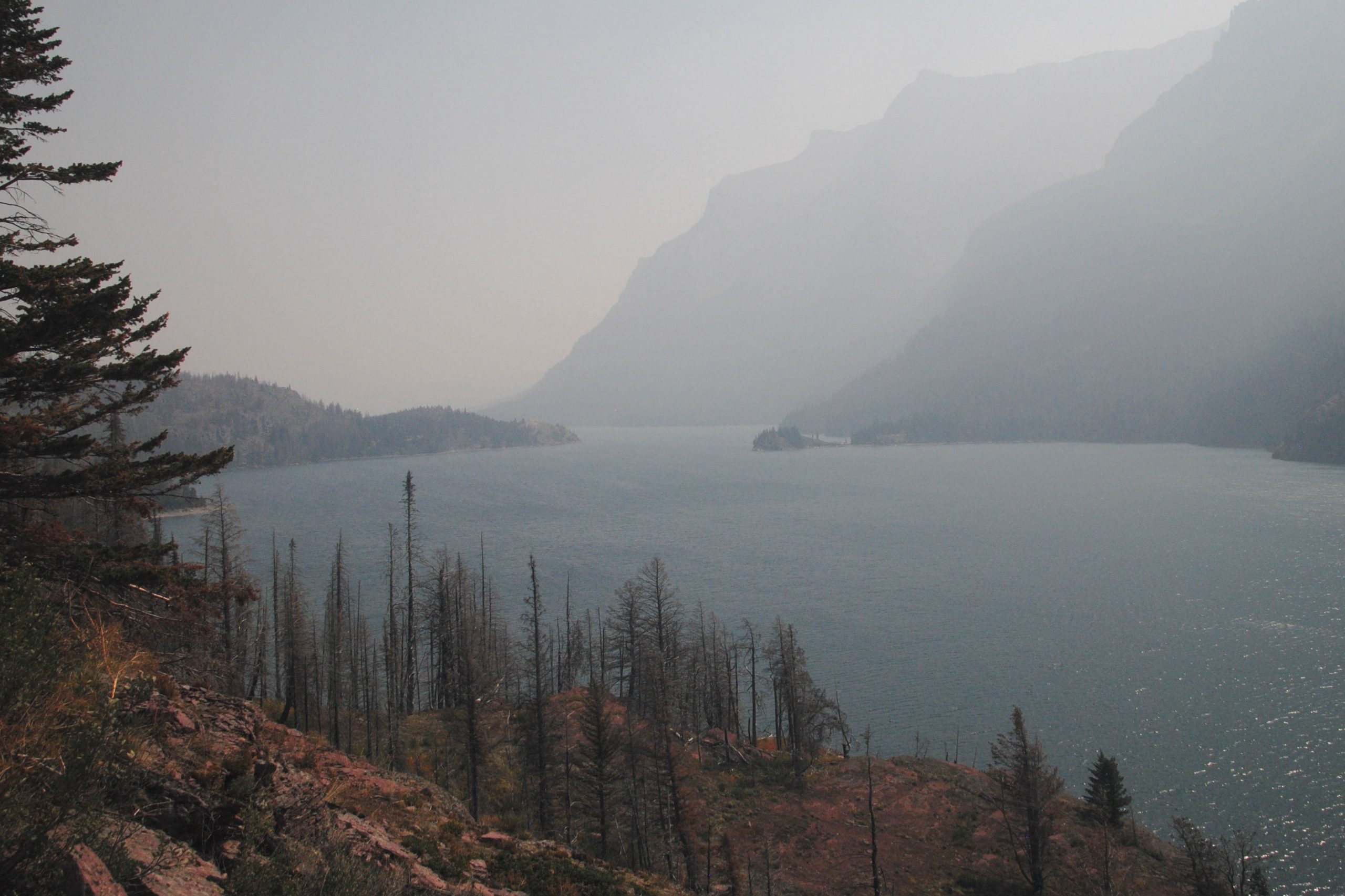
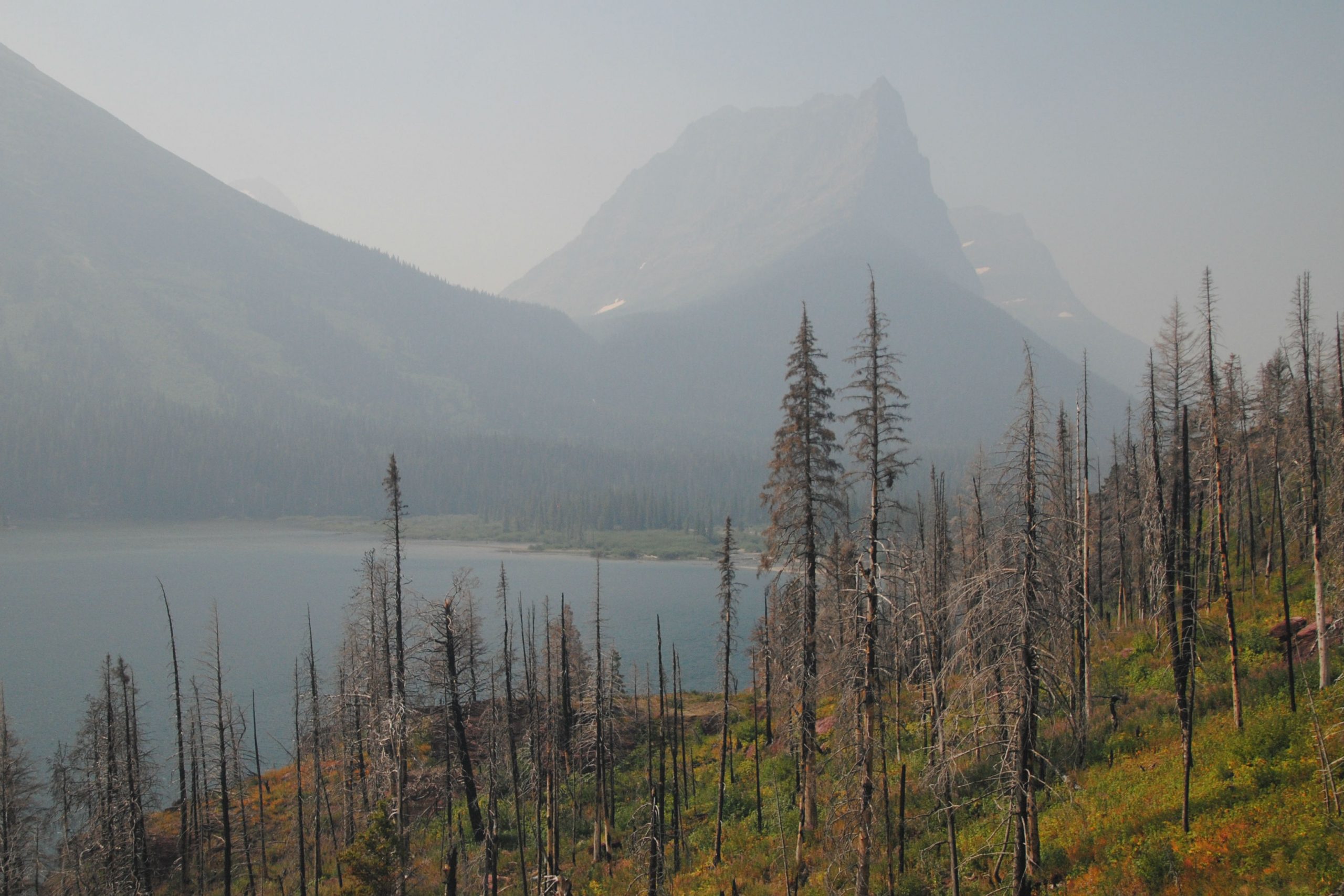
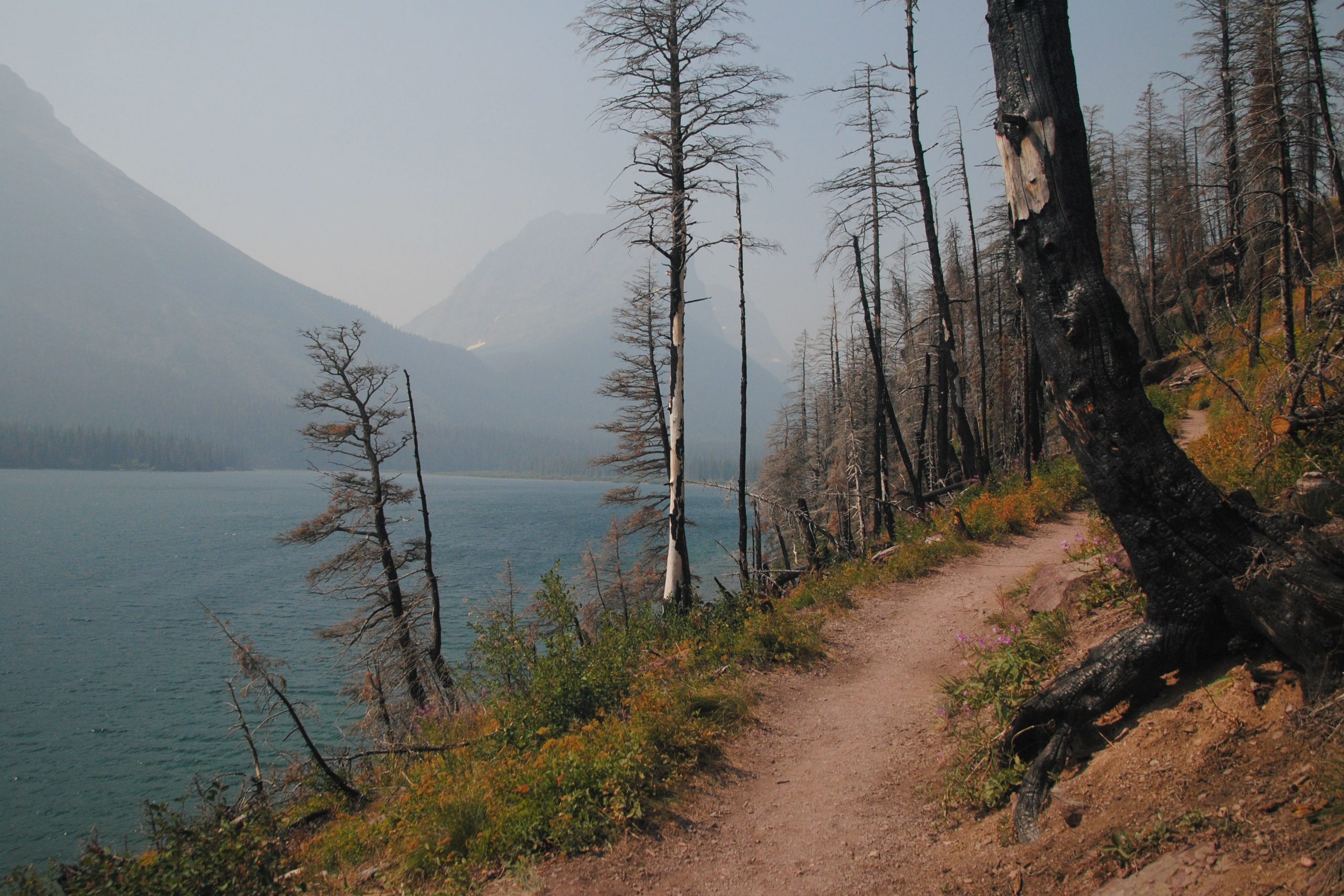
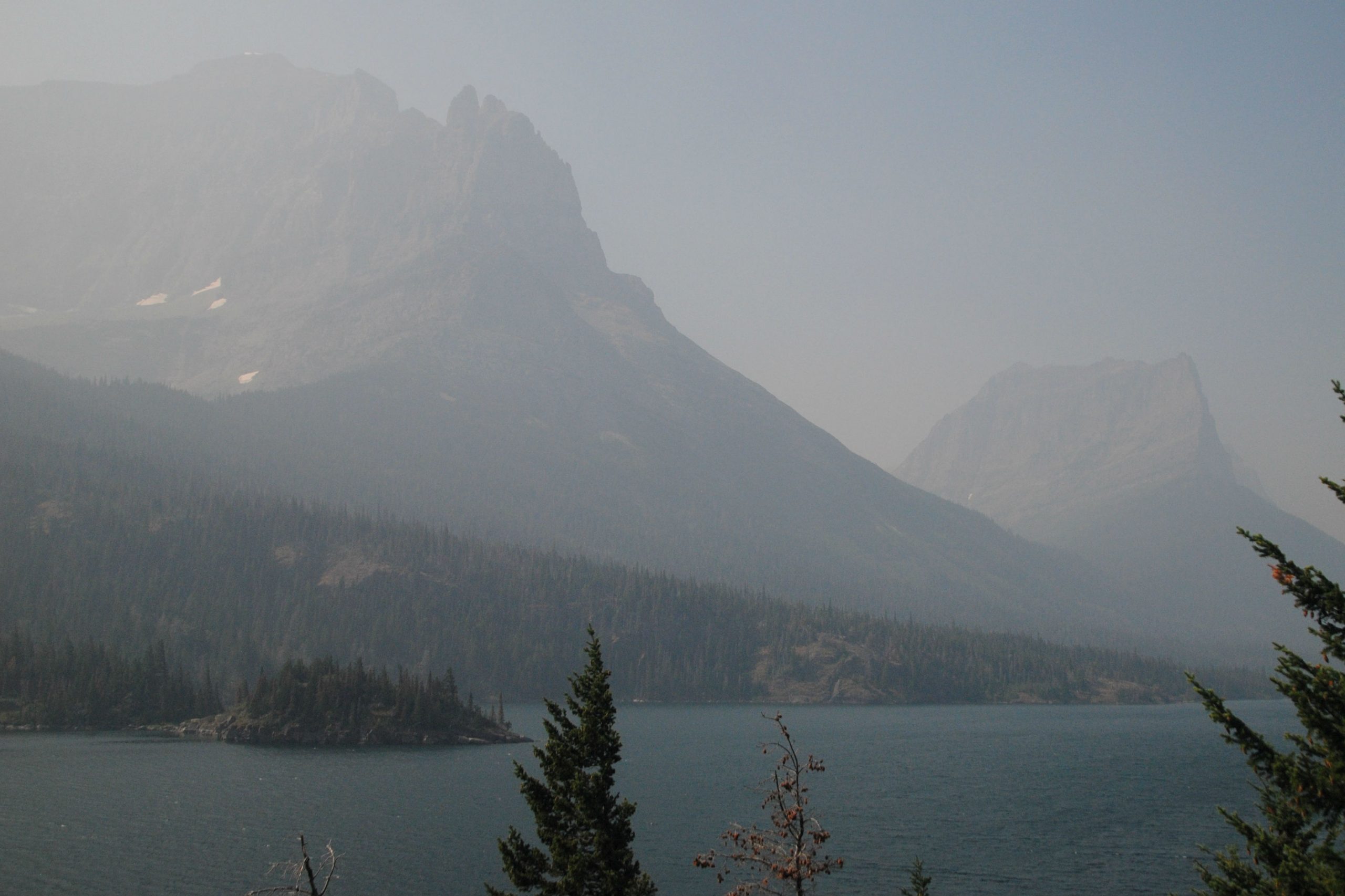
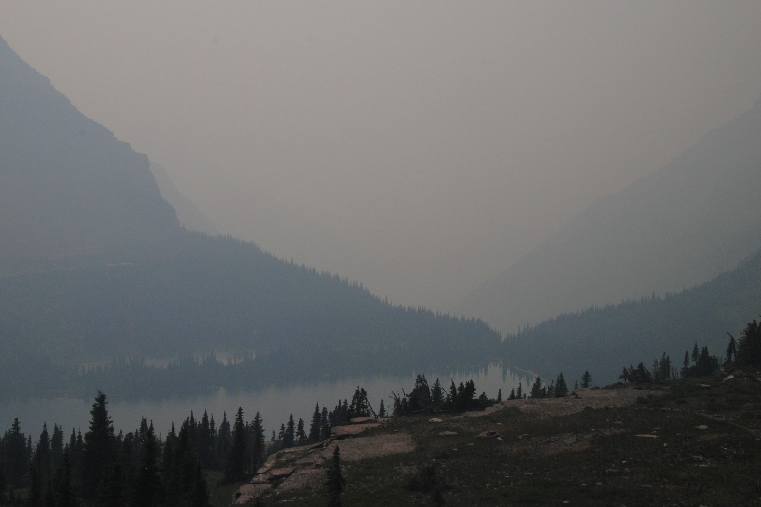
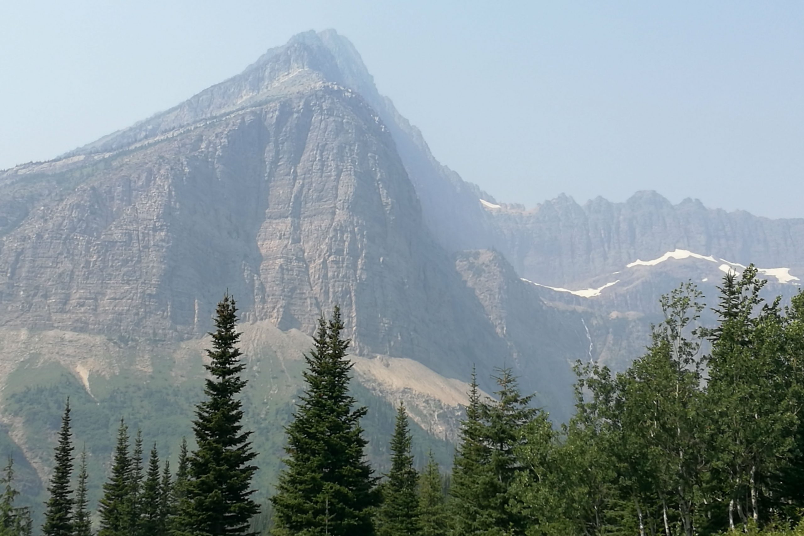
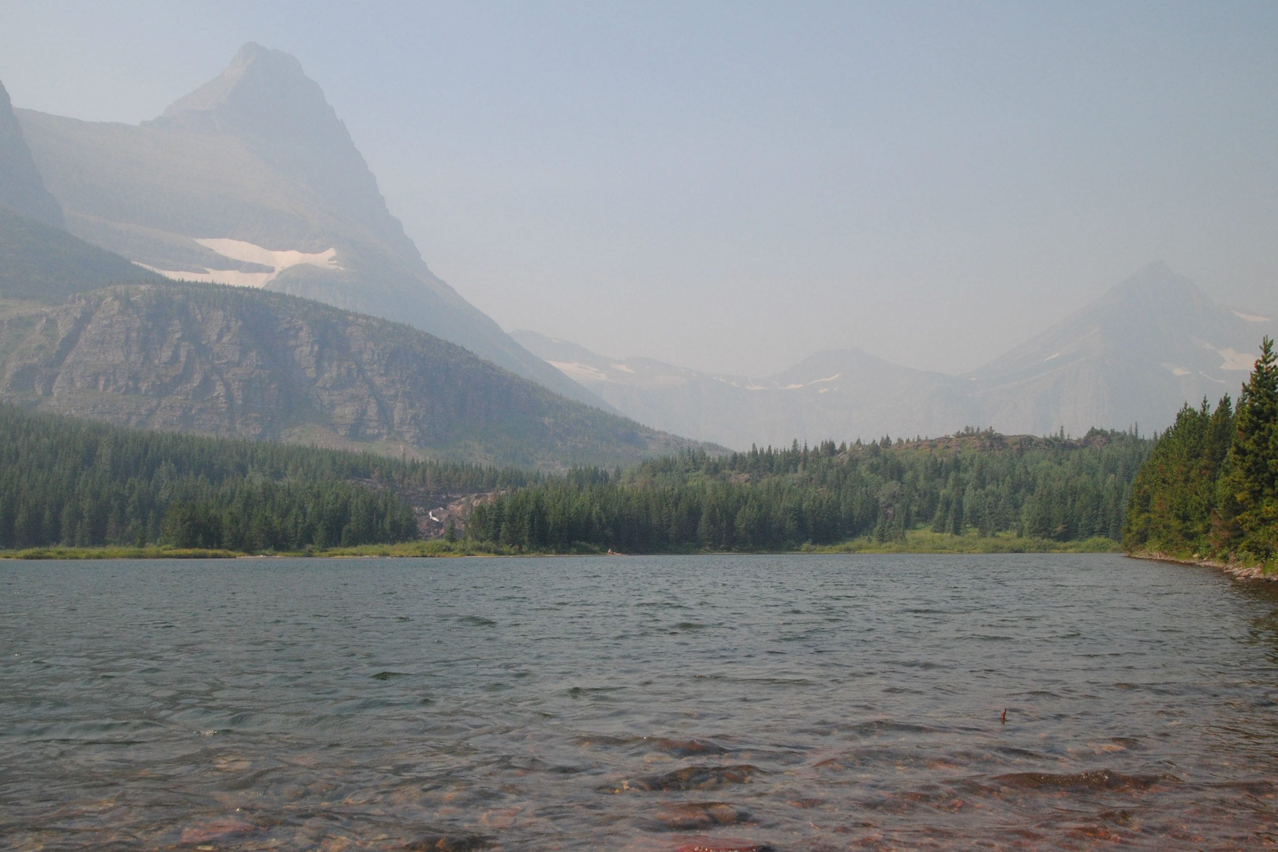
In a further testament to the severe environmental conditions I’ve been seeing- (read: climate change), lightning strikes had sparked a fire in the park just a day or so before I arrived. Strong winds caused the fire to flare, and much of the West side of the park had been evacuated by the time I arrived. The main thoroughfare through the park, Going to the Sun road, was also closed to ensure public safety and allow fire crews access to the region.
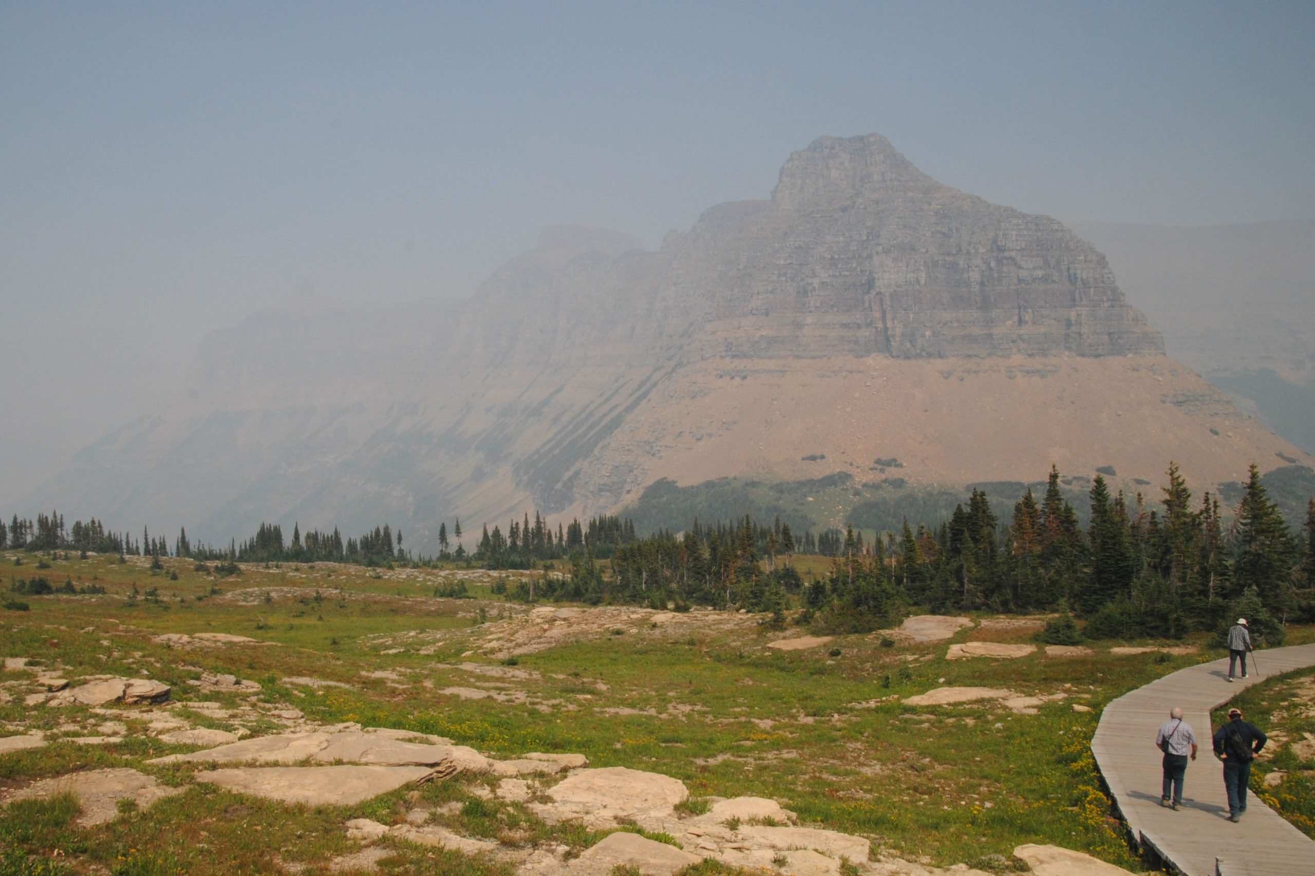
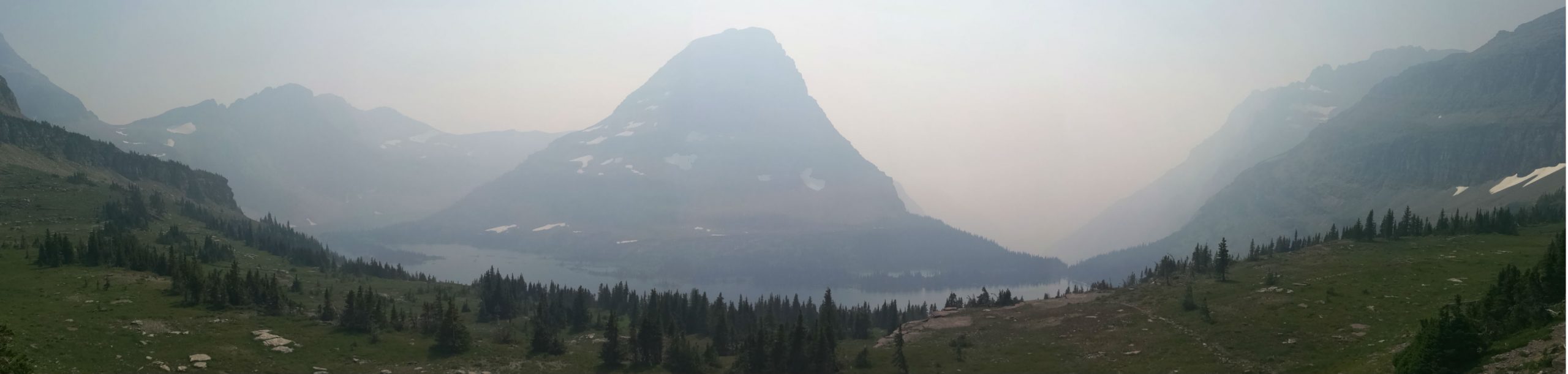
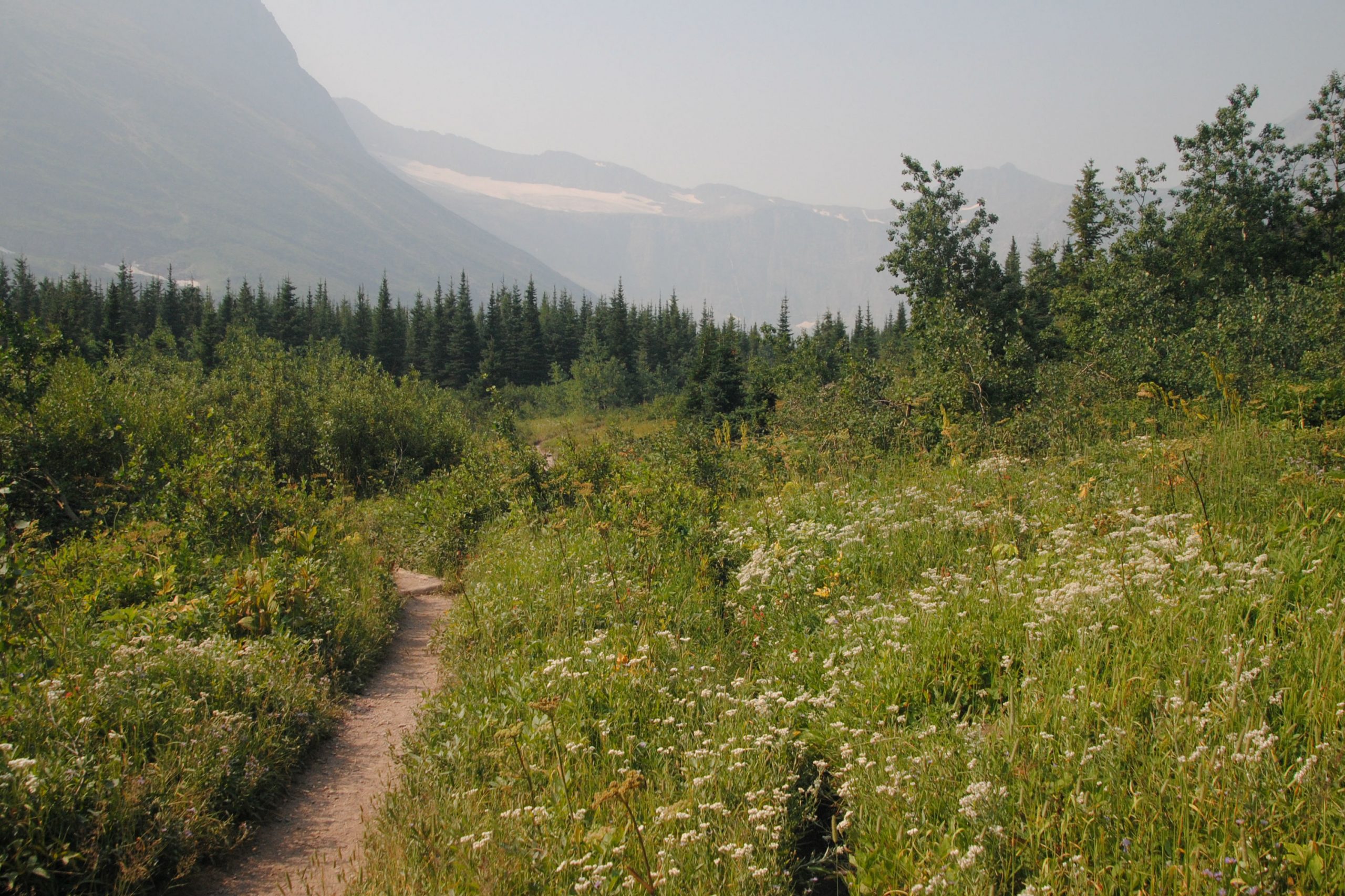
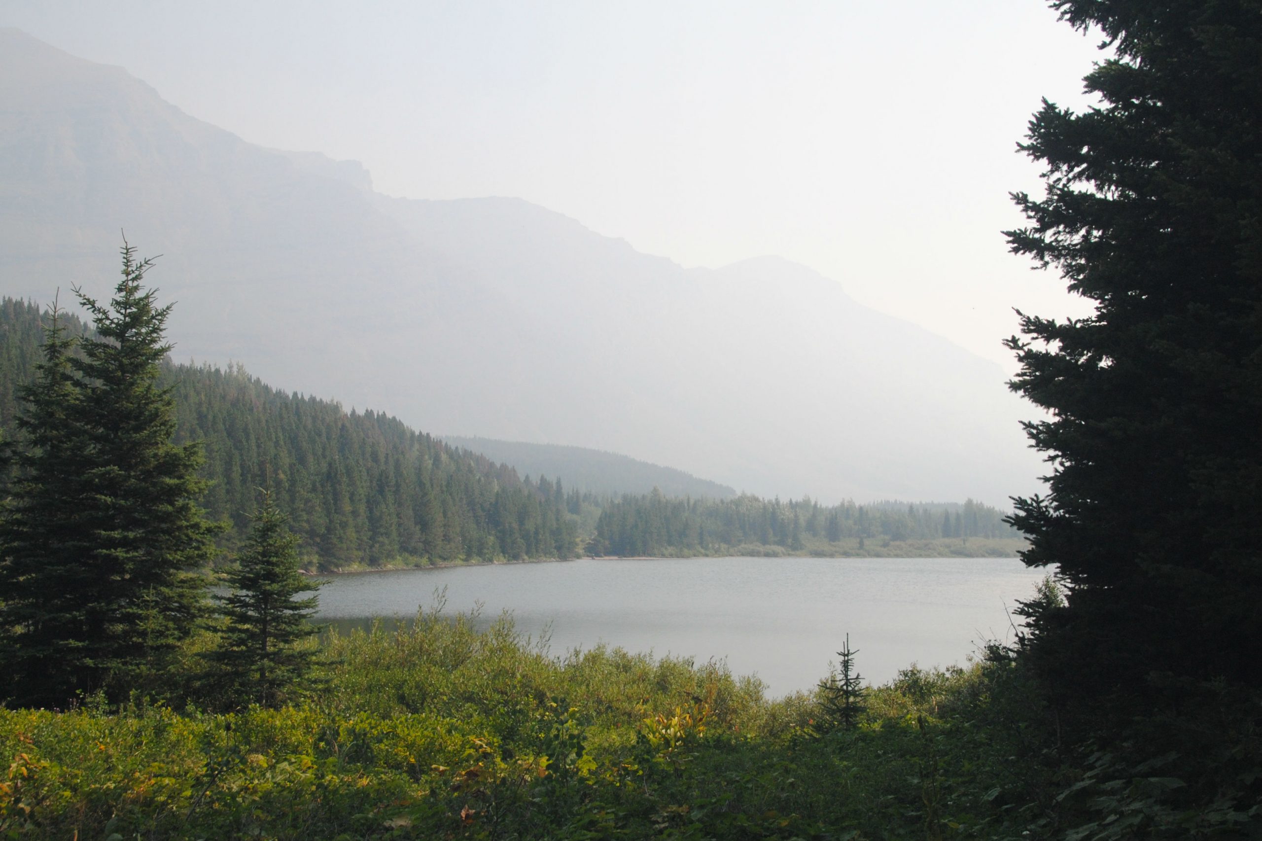
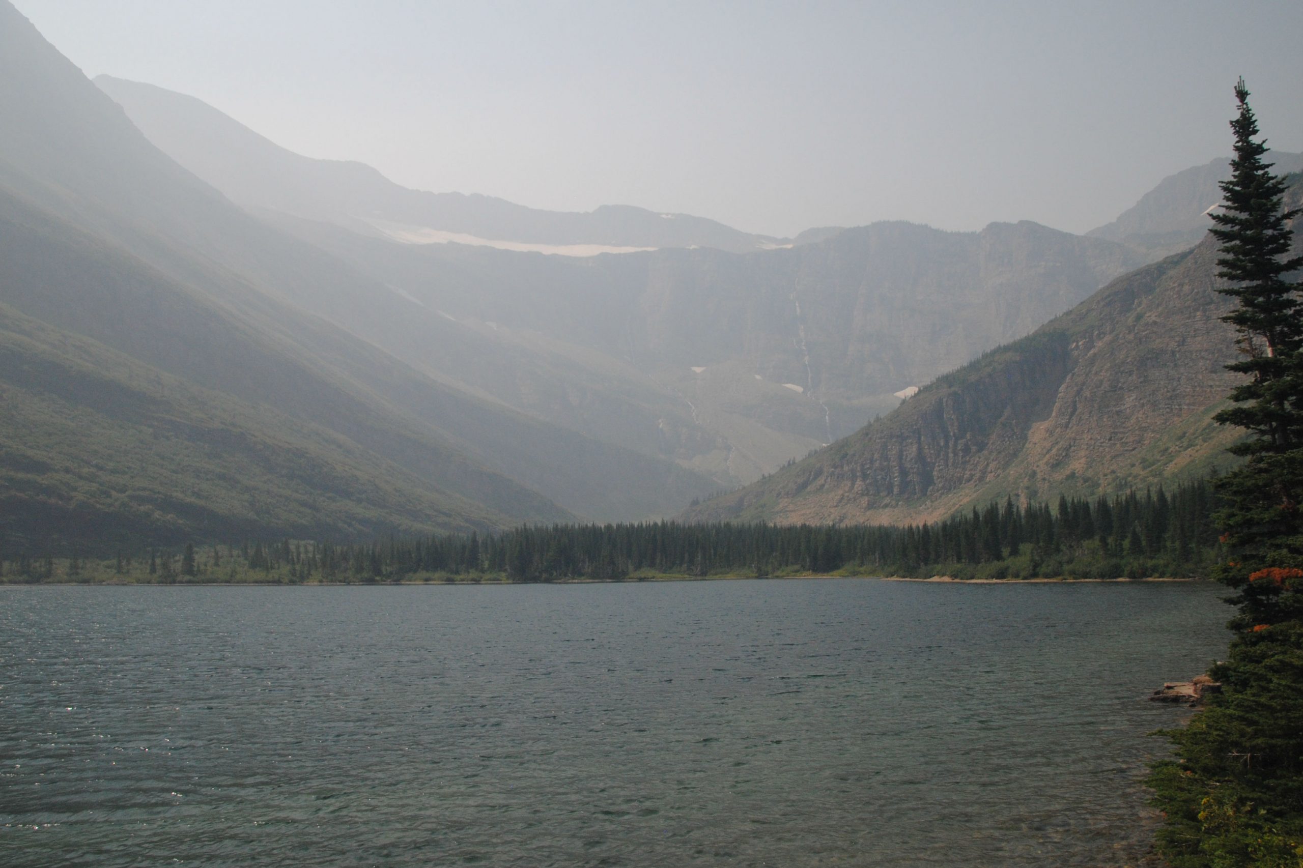
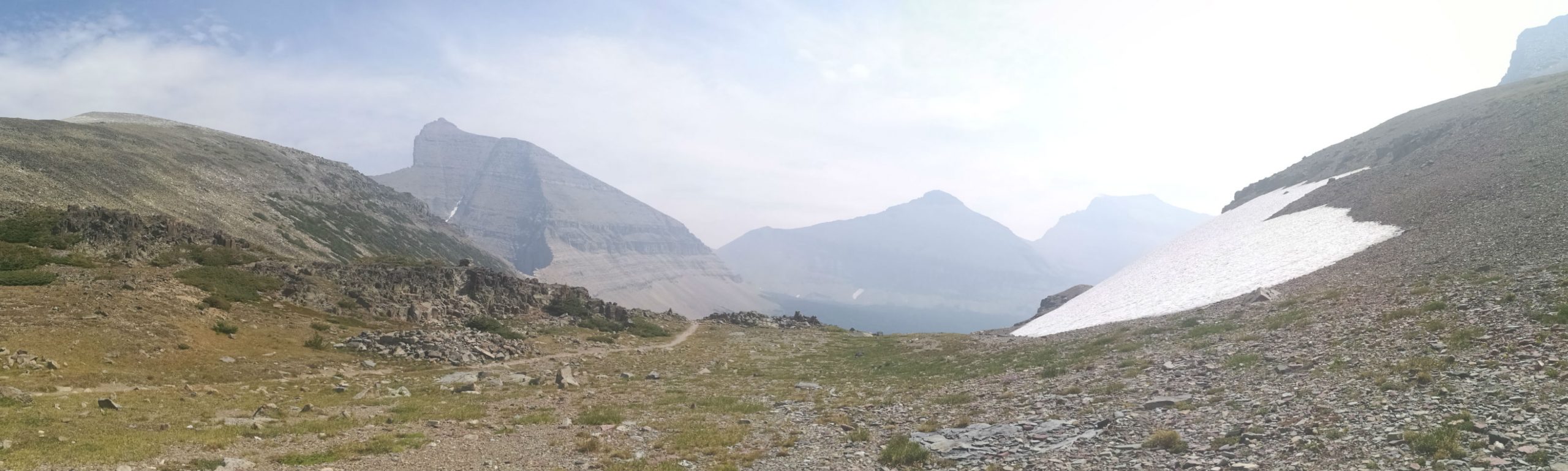
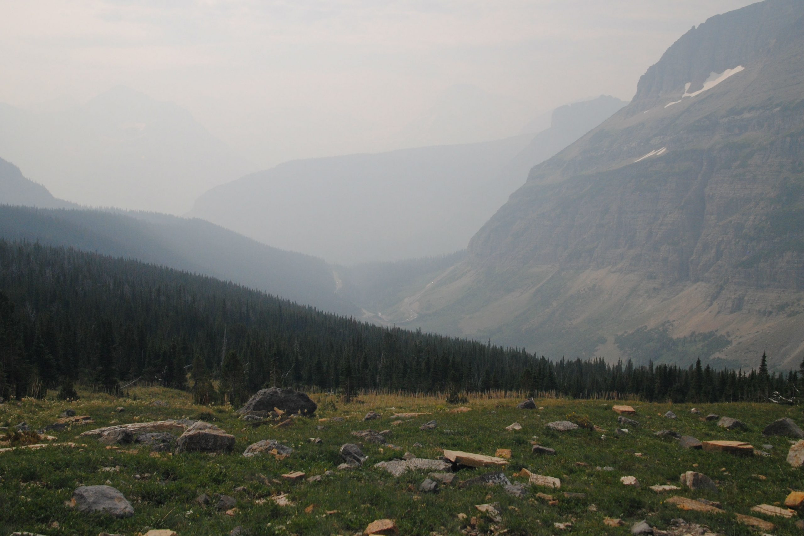
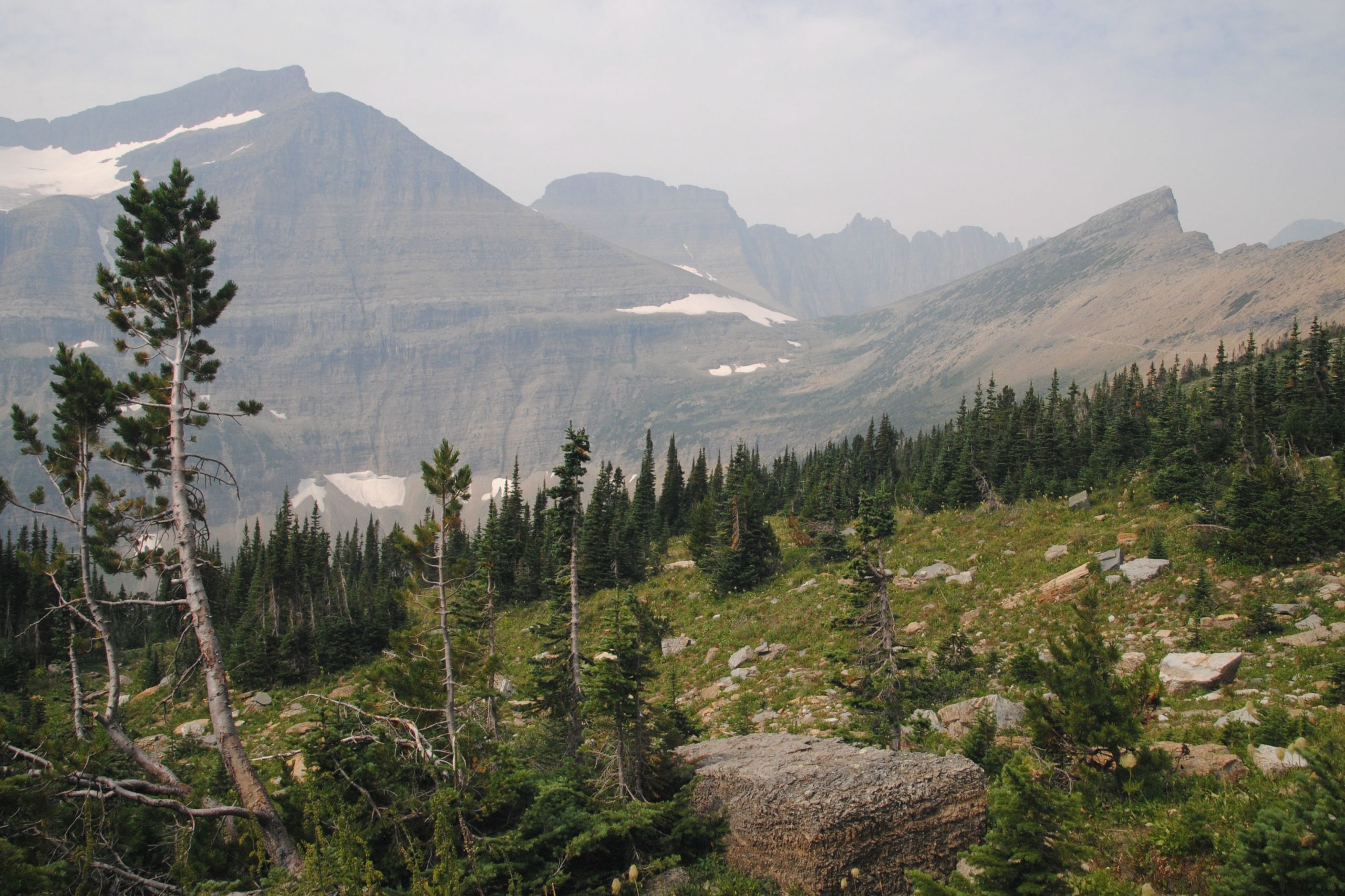
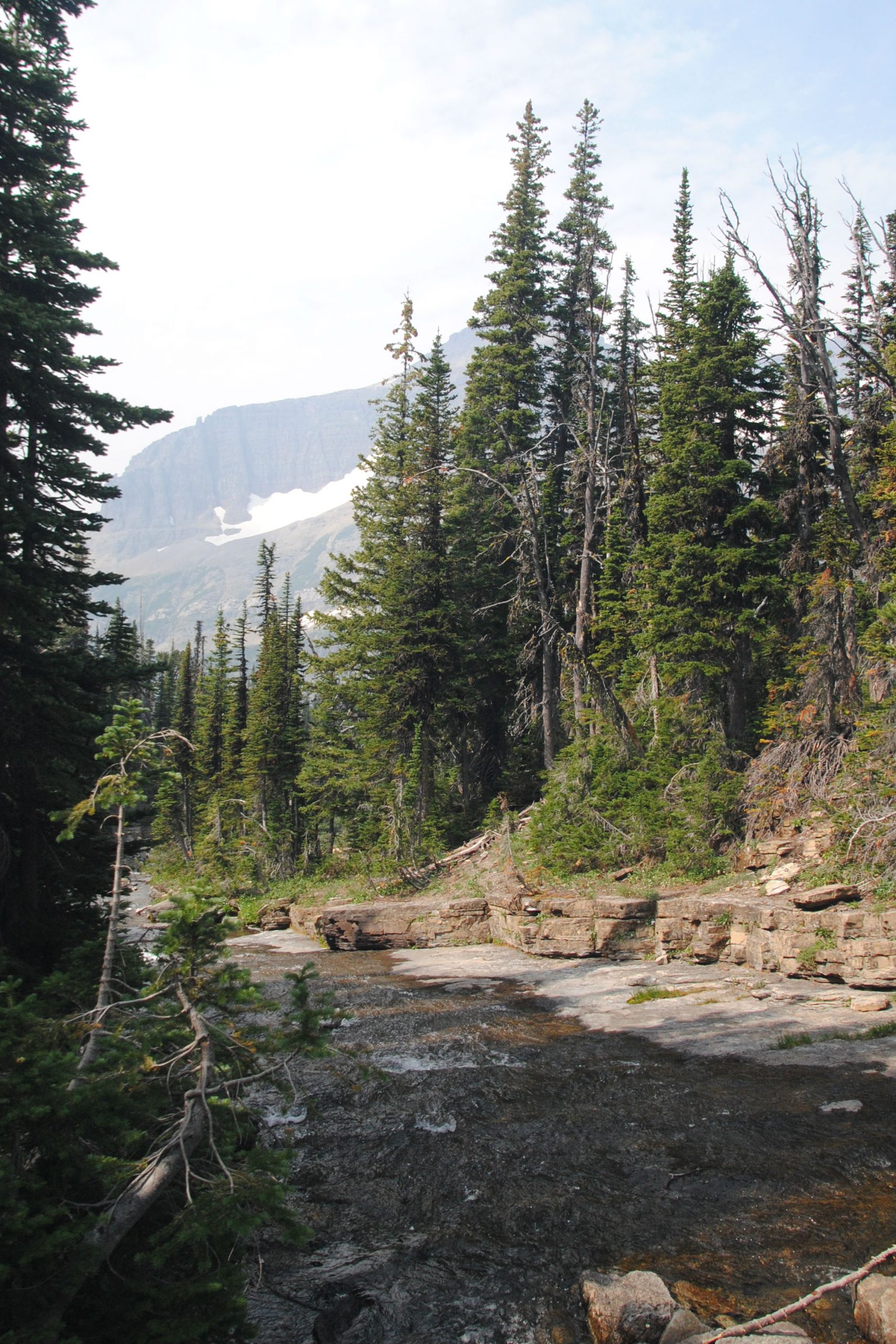
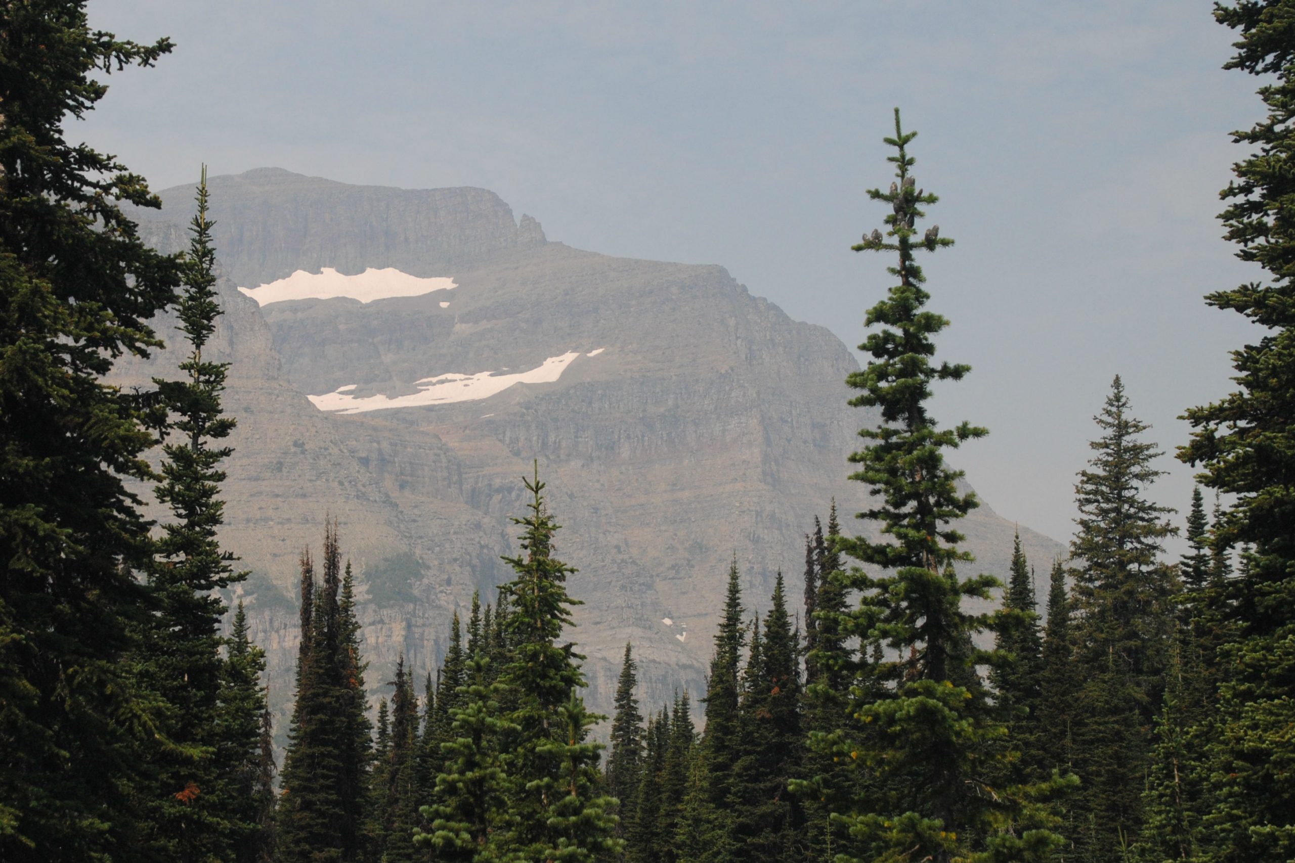
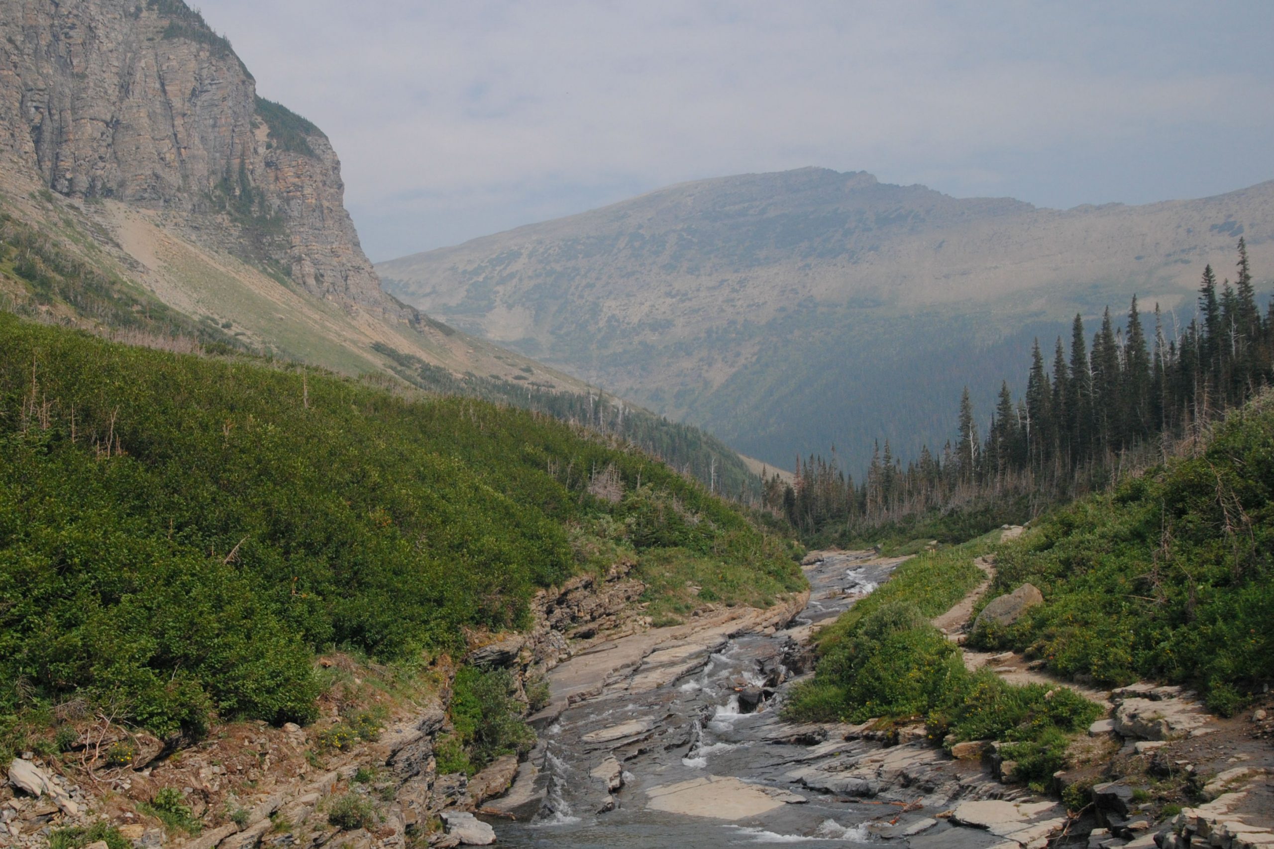
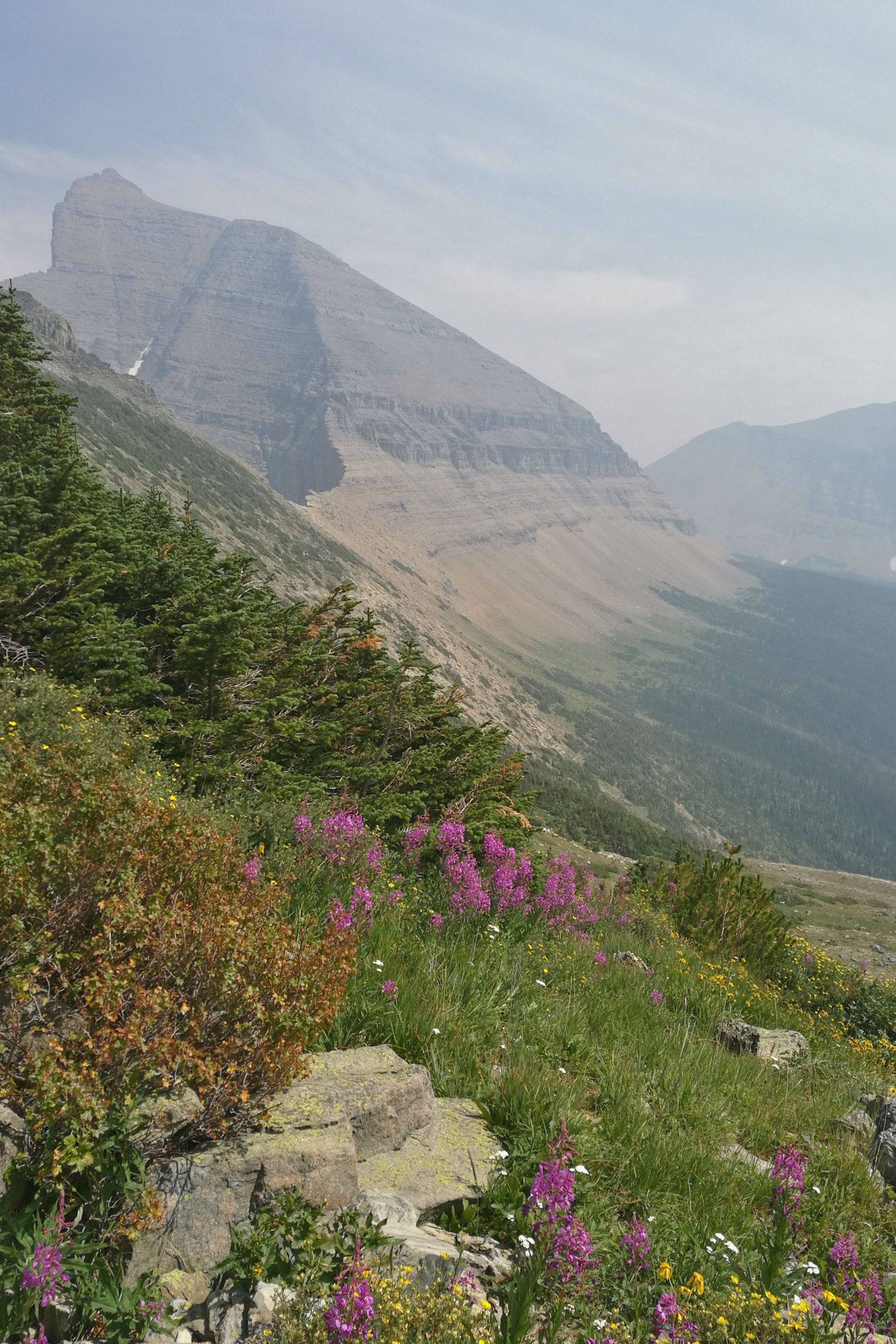
There was significant amounts of smoke haze in the park during my stay. The many peaks that stand majestically above the road were just a shadow of their usual selves while I was there. The haze maintained itself during my entire stay, so I can only imagine how crisp and clear these mountains would usually appear – I will just have to return.
Getting around the park was easy – a shuttle service runs all the way along Going to the Sun Road. These buses depart from the visitor centre at St Marys approximately every 1/2 hour, and make stops at many of the trailheads along the roadway. Not to mention that it keeps hundreds of cars off the road, and saves the headache of finding parking in some of the very small parking lots that are perched on the very edge of the mountain.
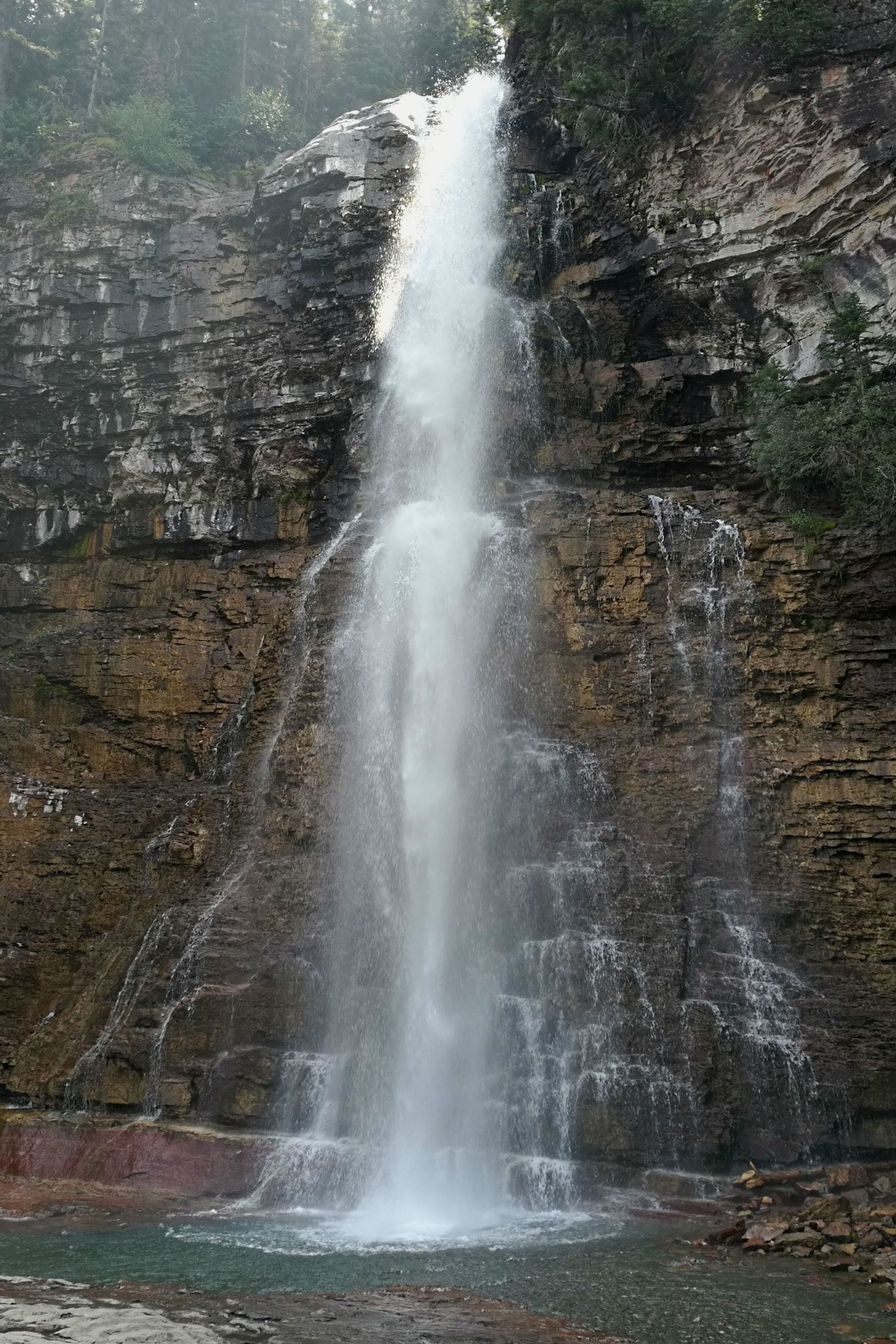
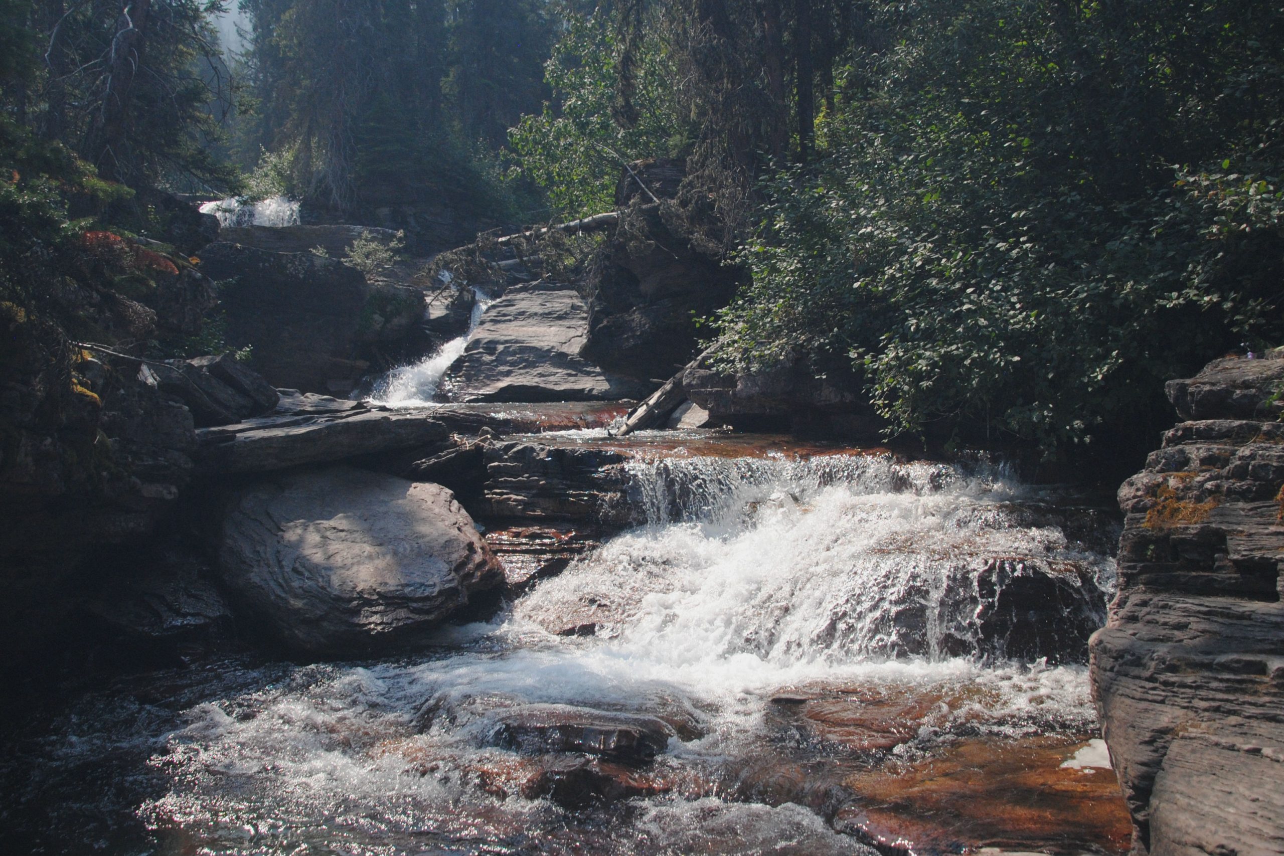
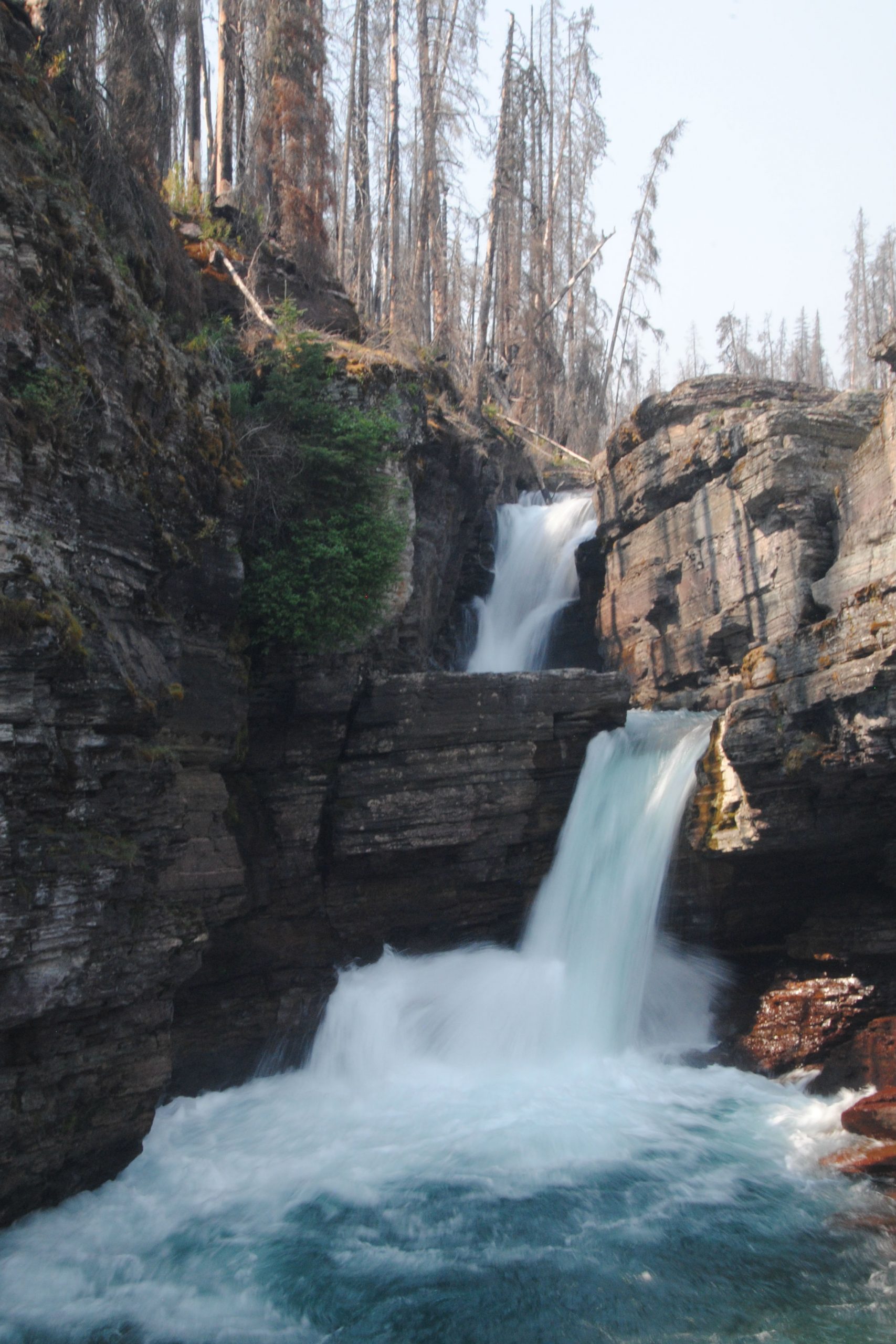
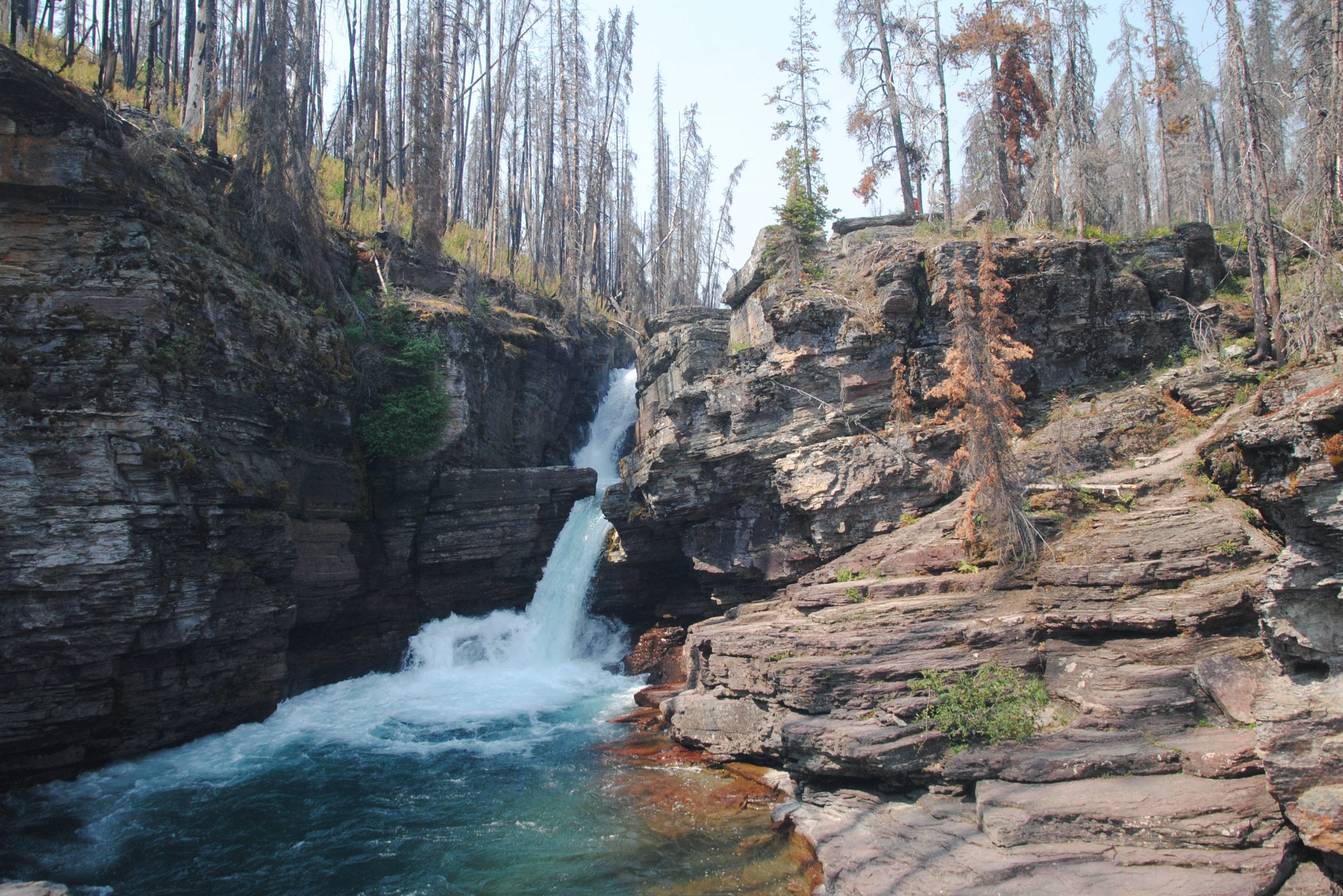
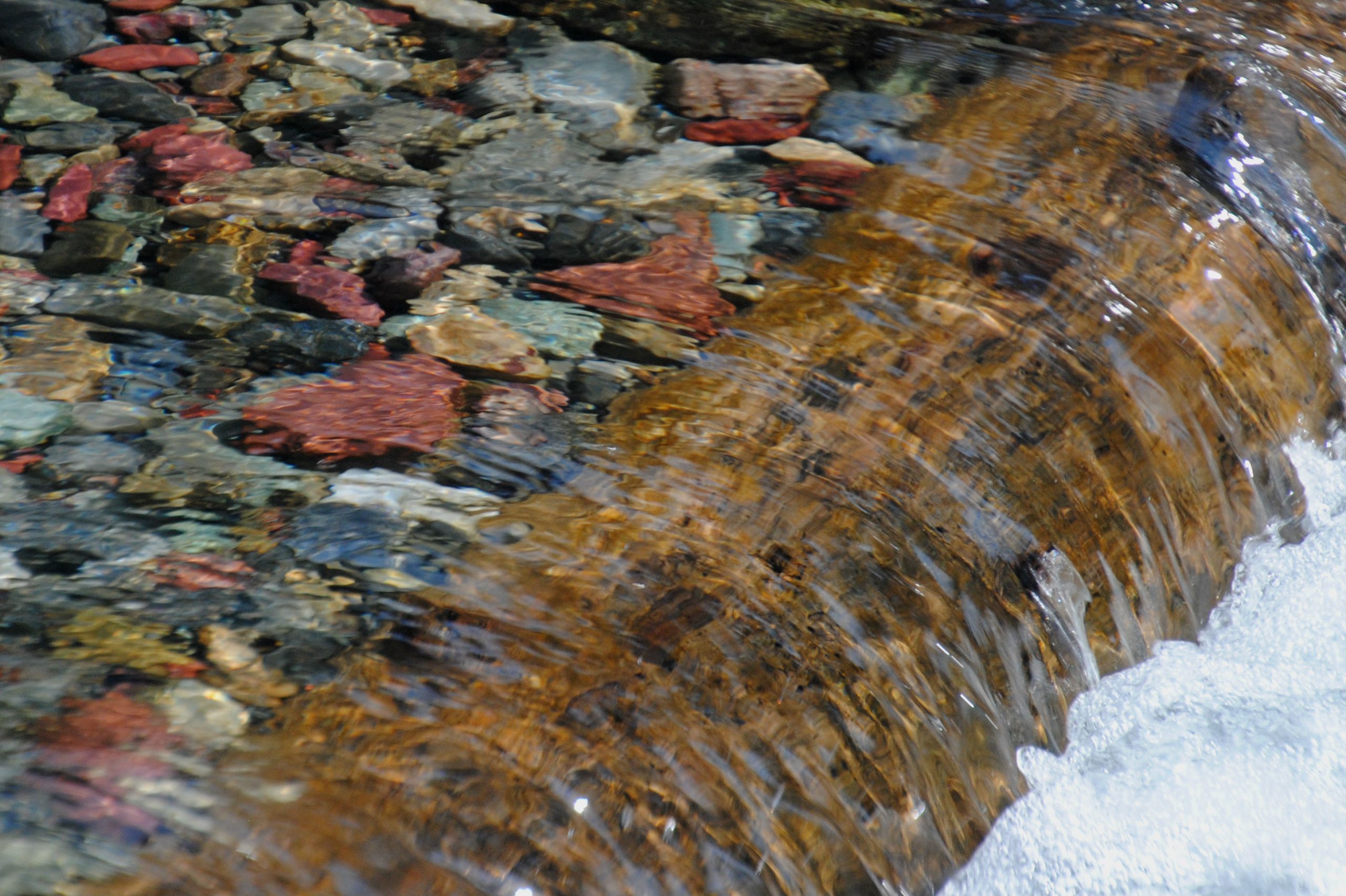
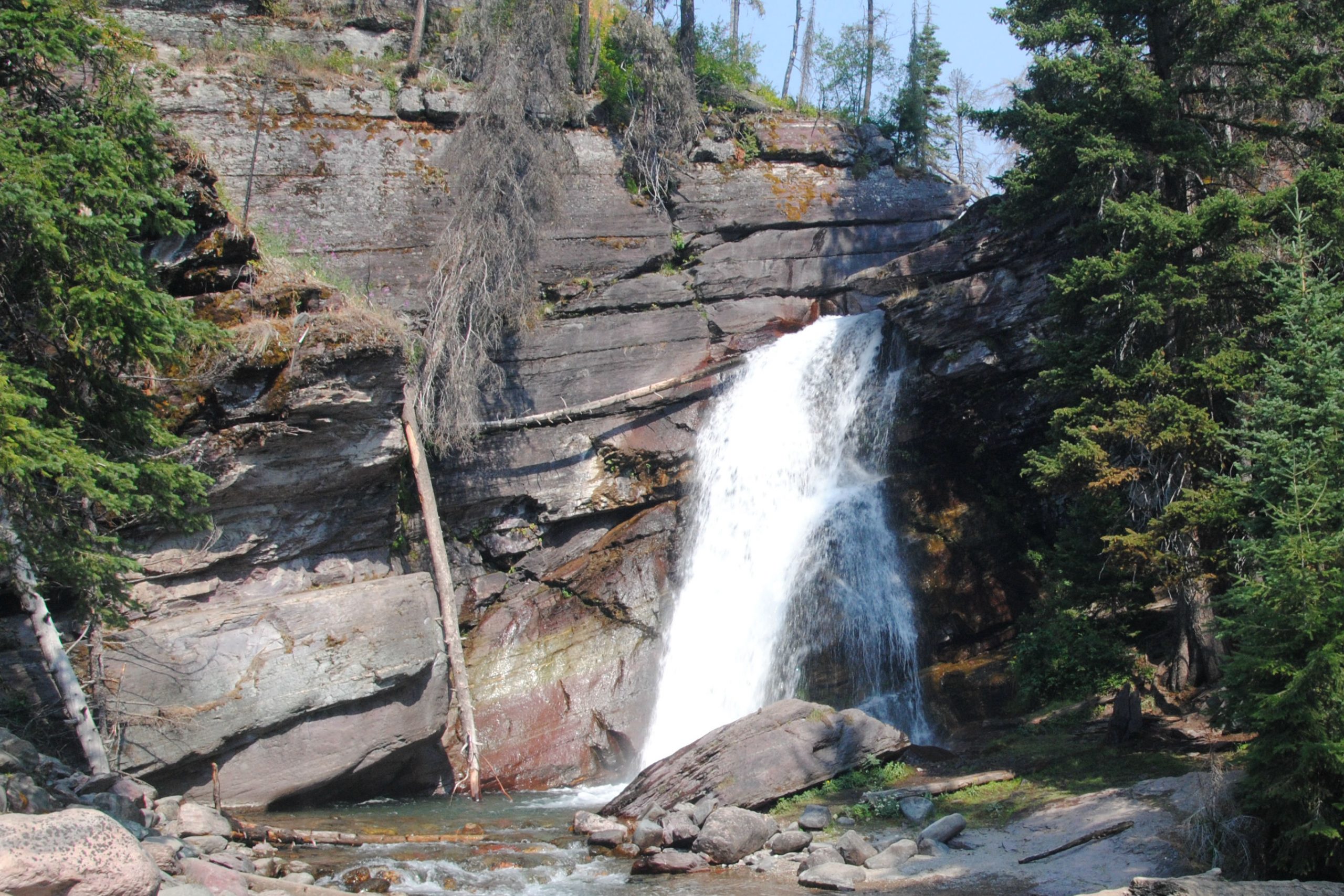
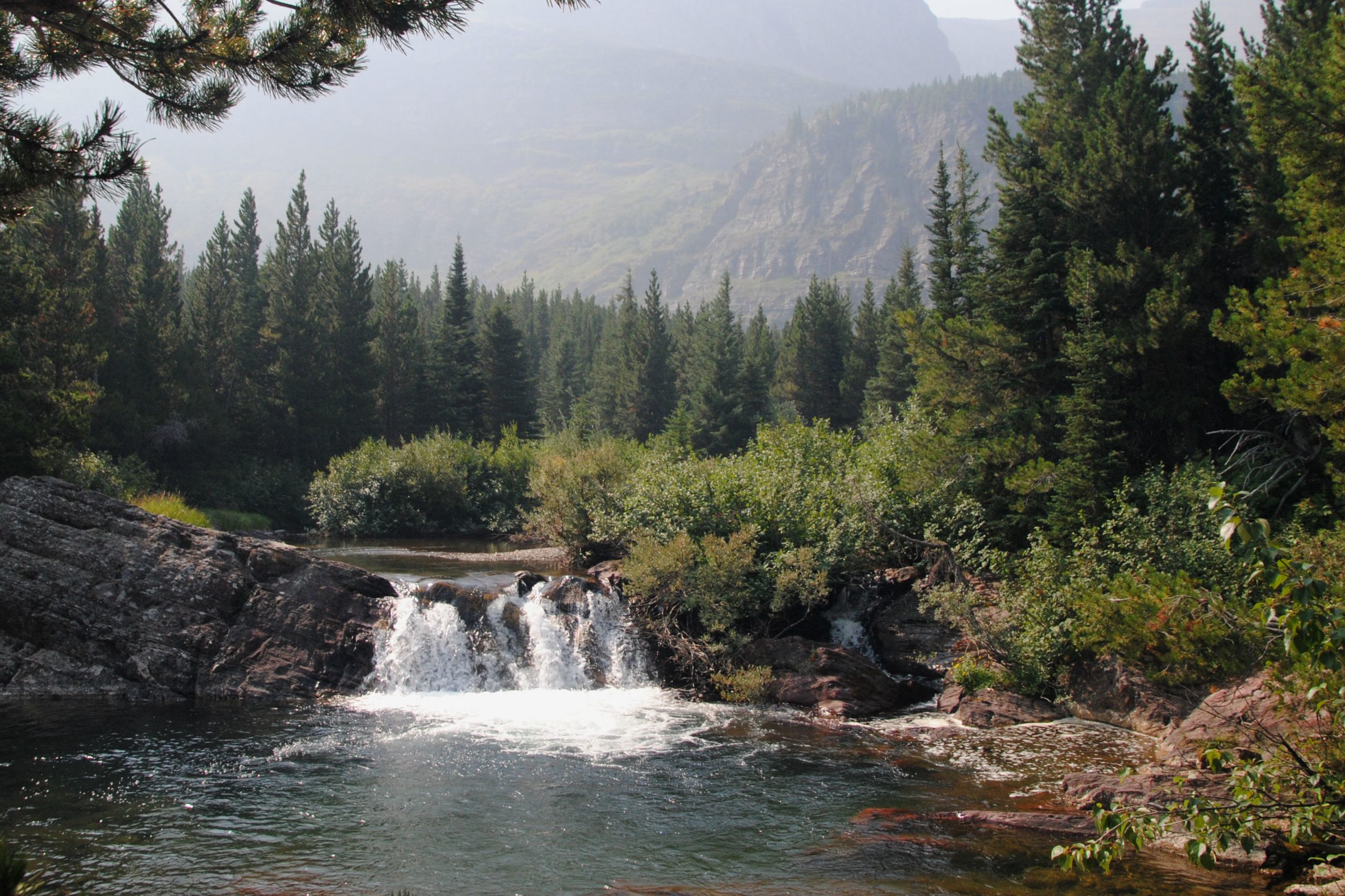
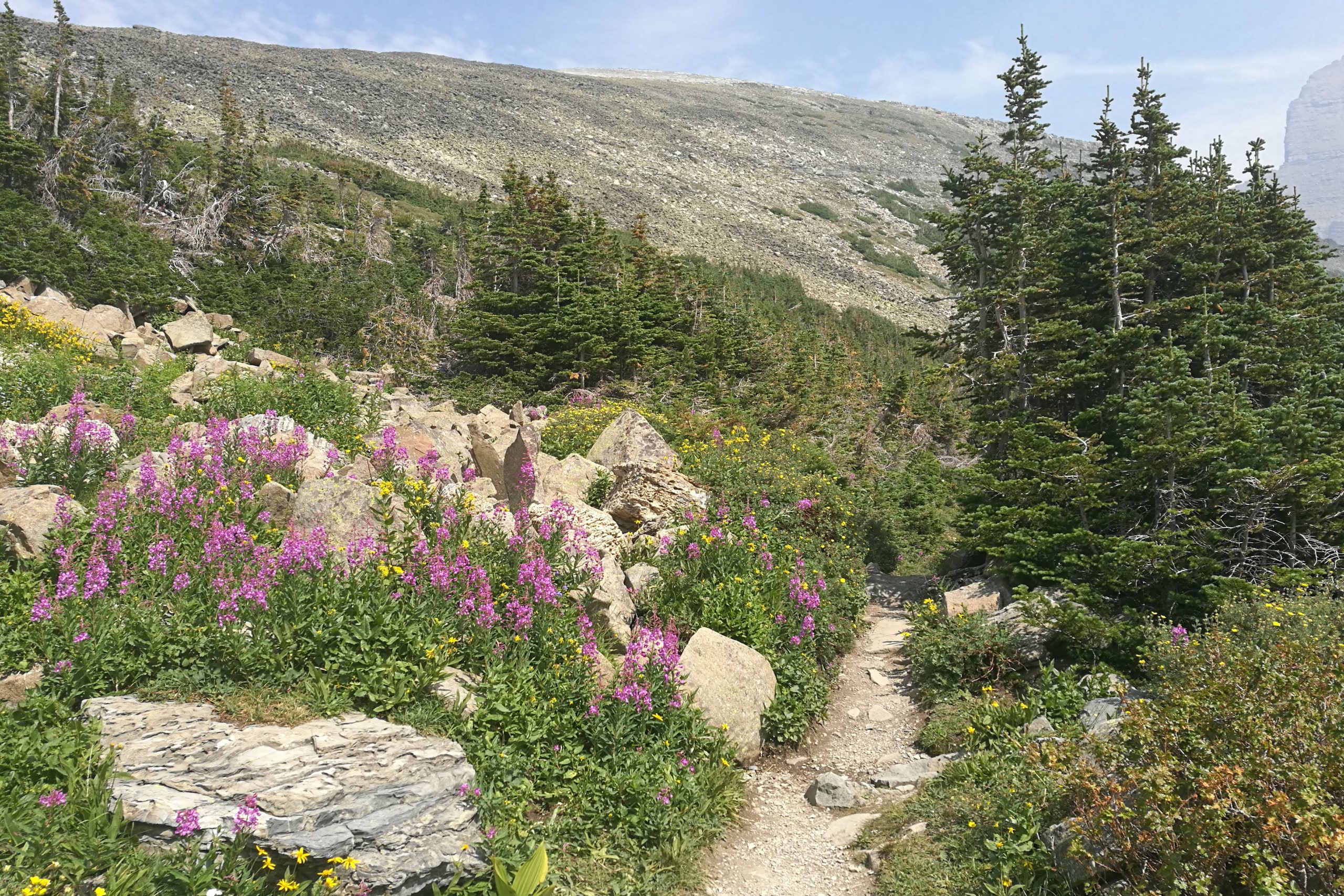
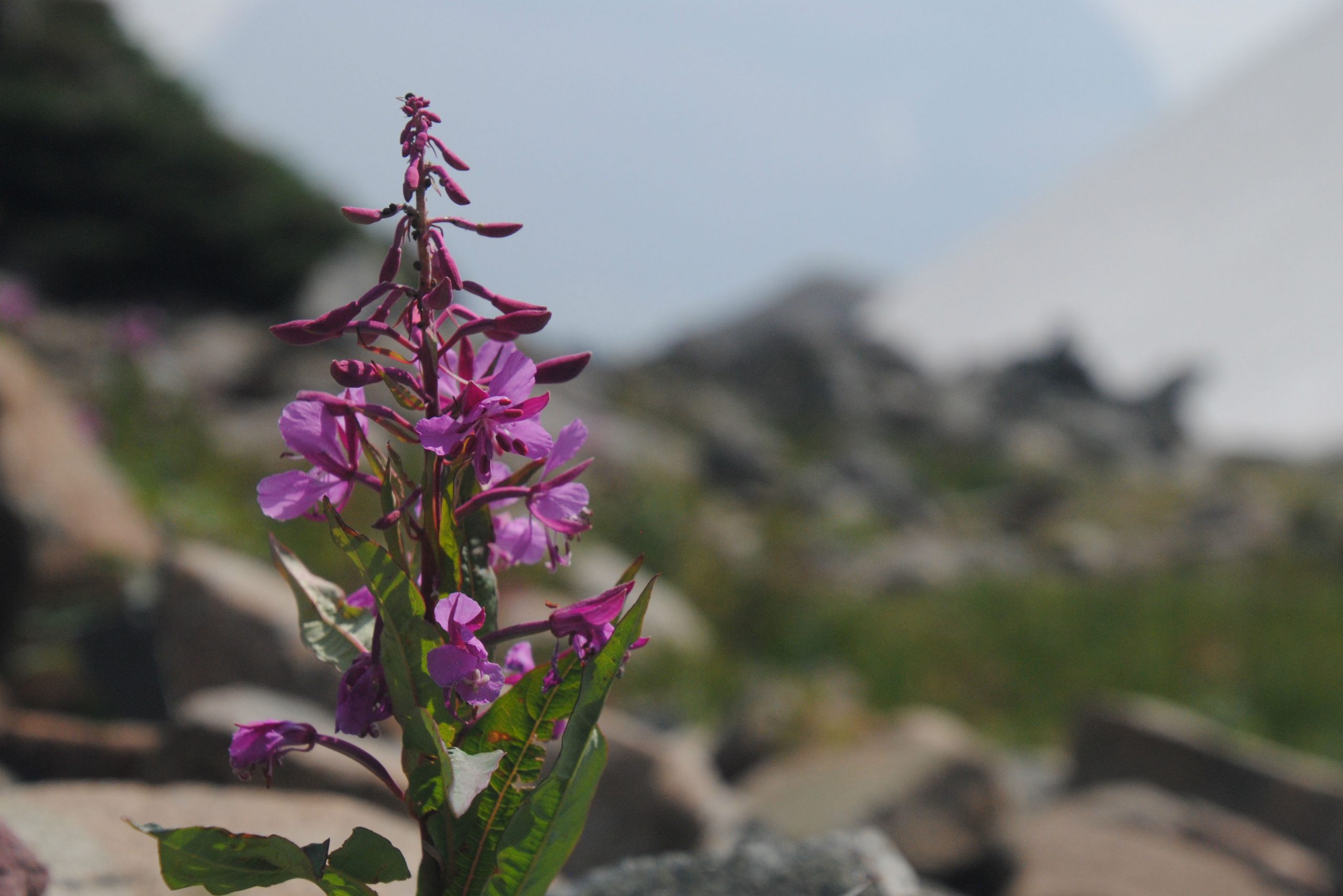
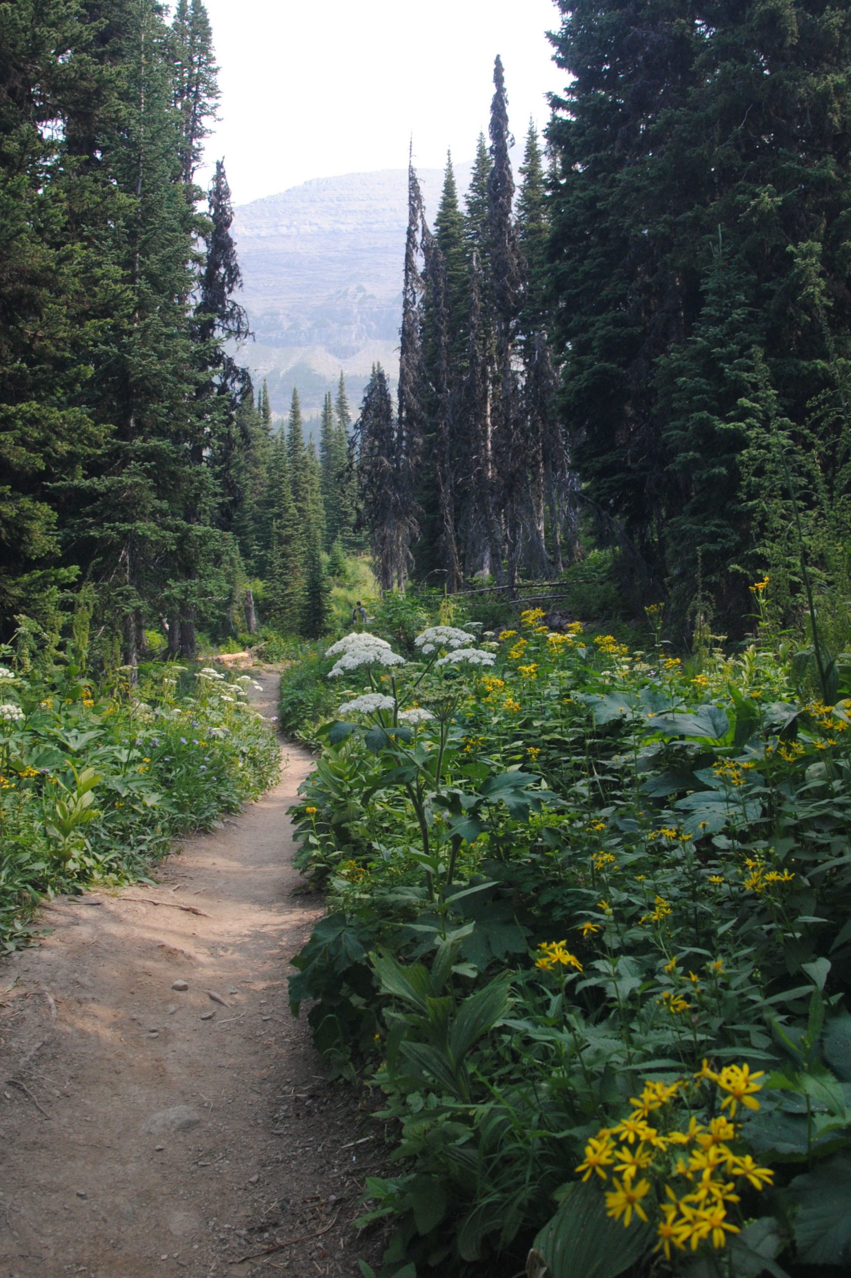
BARING FALLS, ST MARY FALLS & VIRGINIA FALLS
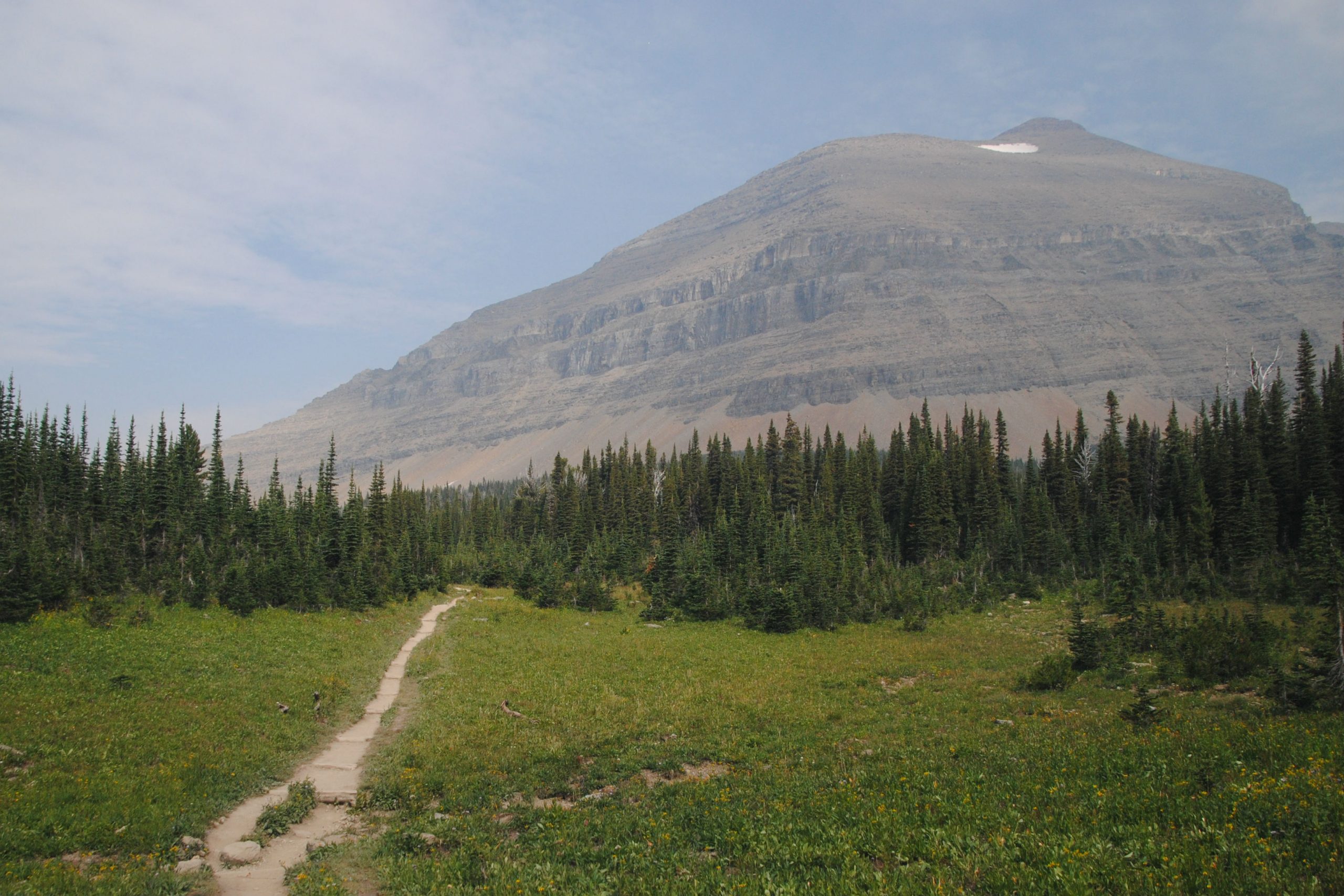
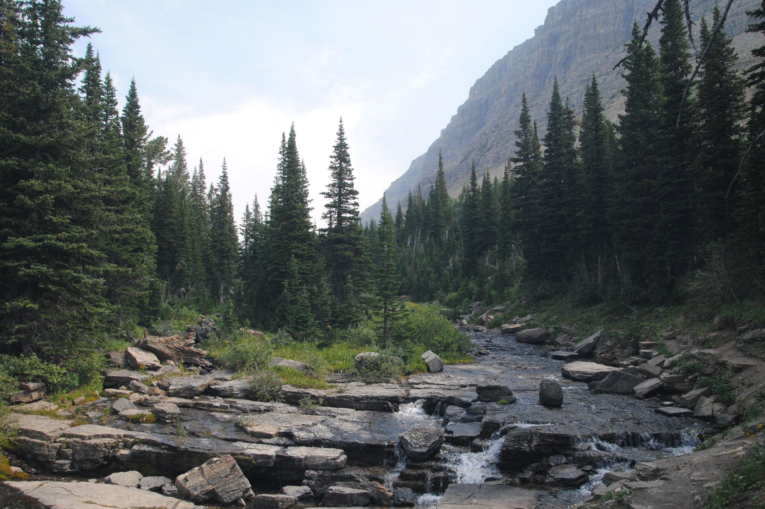
For my first hike in the park, I headed to Sun Point, and hit the trail towards Baring Falls. This one seemed like a gentle hike, and could easily be extended to a longer loop hike by continuing on to St. Mary Falls. Once at St Mary Falls, it was only a short .8mile hike to Virginia Falls, so I continued on and was happily rewarded with a fantastic cascade! The total distance of the hike was around 4 miles, but was mainly a gentle stroll, with just a few elevated sections, but with the reward of the waterfalls, it was well worthwhile.
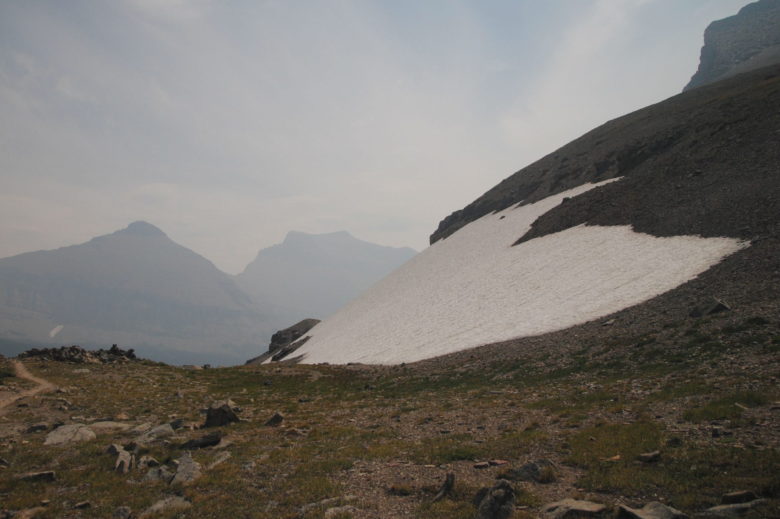
LOGAN PASS & HIDDEN LAKE OVERLOOK TRAIL
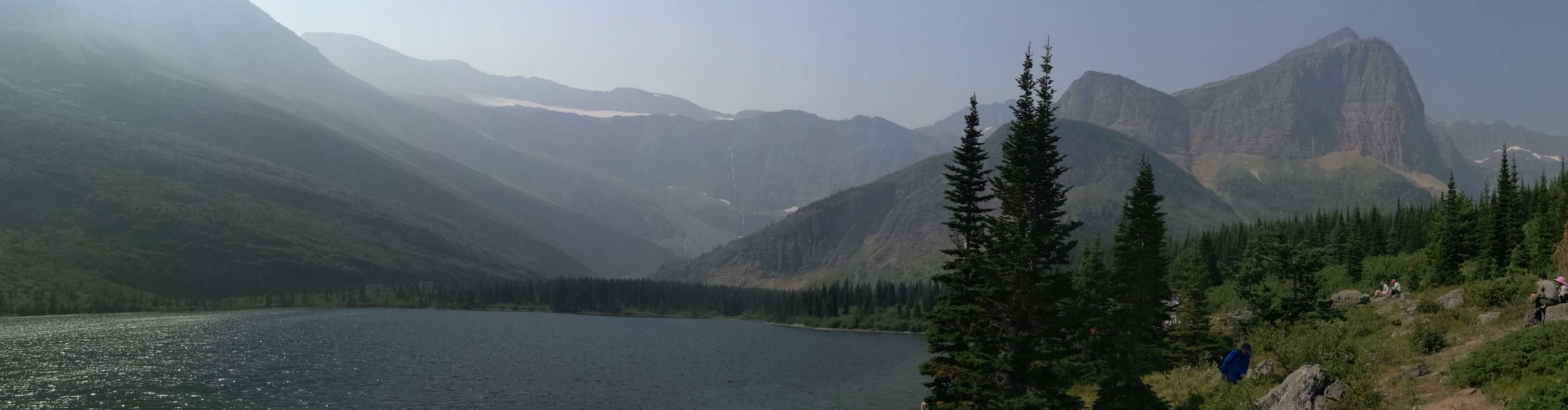
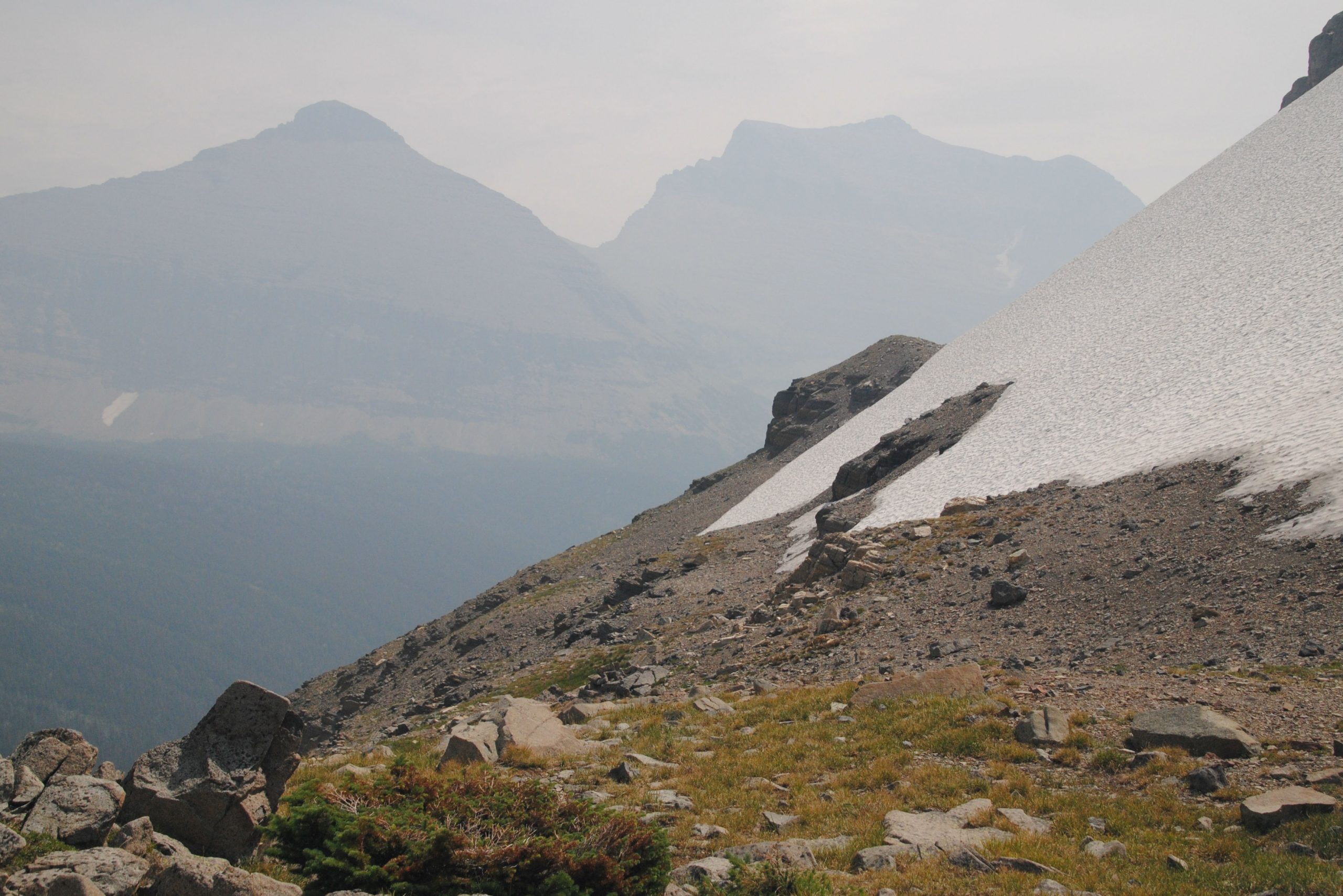
After hiking the waterfalls, I hopped on to the shuttle and headed up to Logan Pass, the furthest point accessible on the road at this time. Logan Pass is home to several trailheads, as well as one of the parks visitor centers. After stopping to eat lunch, I headed back out on the trail to the Hidden Lake Overlook. This was a 3 mile out and back trail, slightly uphill on boardwalk from the visitor center to the overlook.
The hike itself, while uphill, seems to be accessible to a wide variety of visitors, and was fairly busy along the entire route, which was once, itself, a glacier. Nowadays, with glacial melt, the landscape has evolved, and you are simply walking across some moraine on a few sections of the trail.
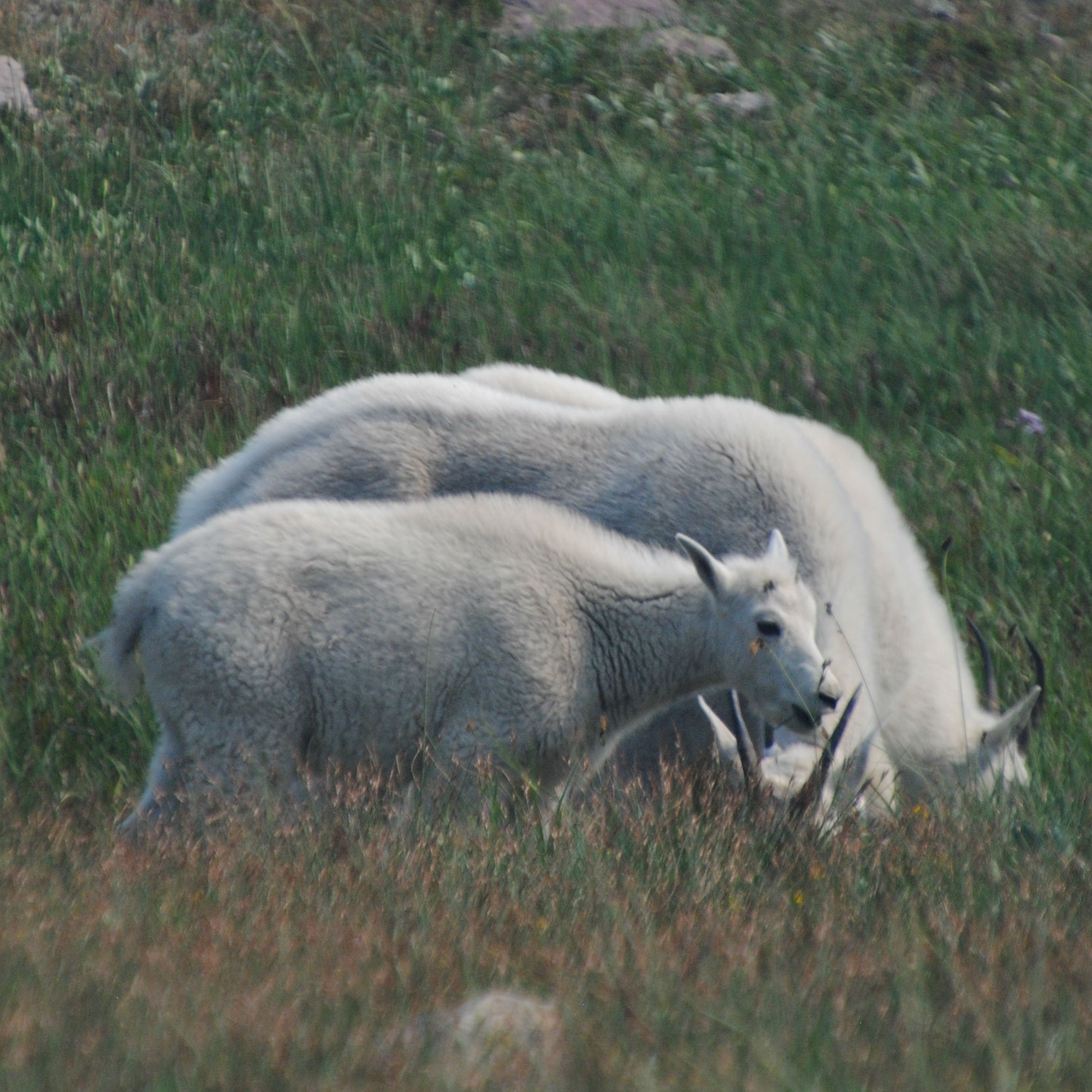
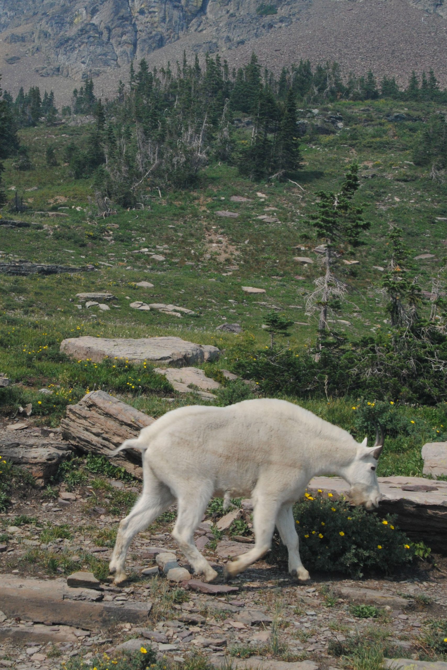
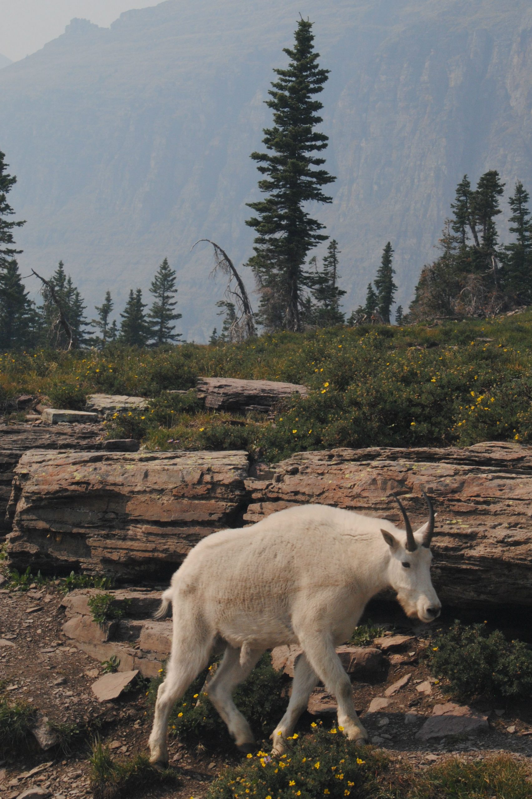
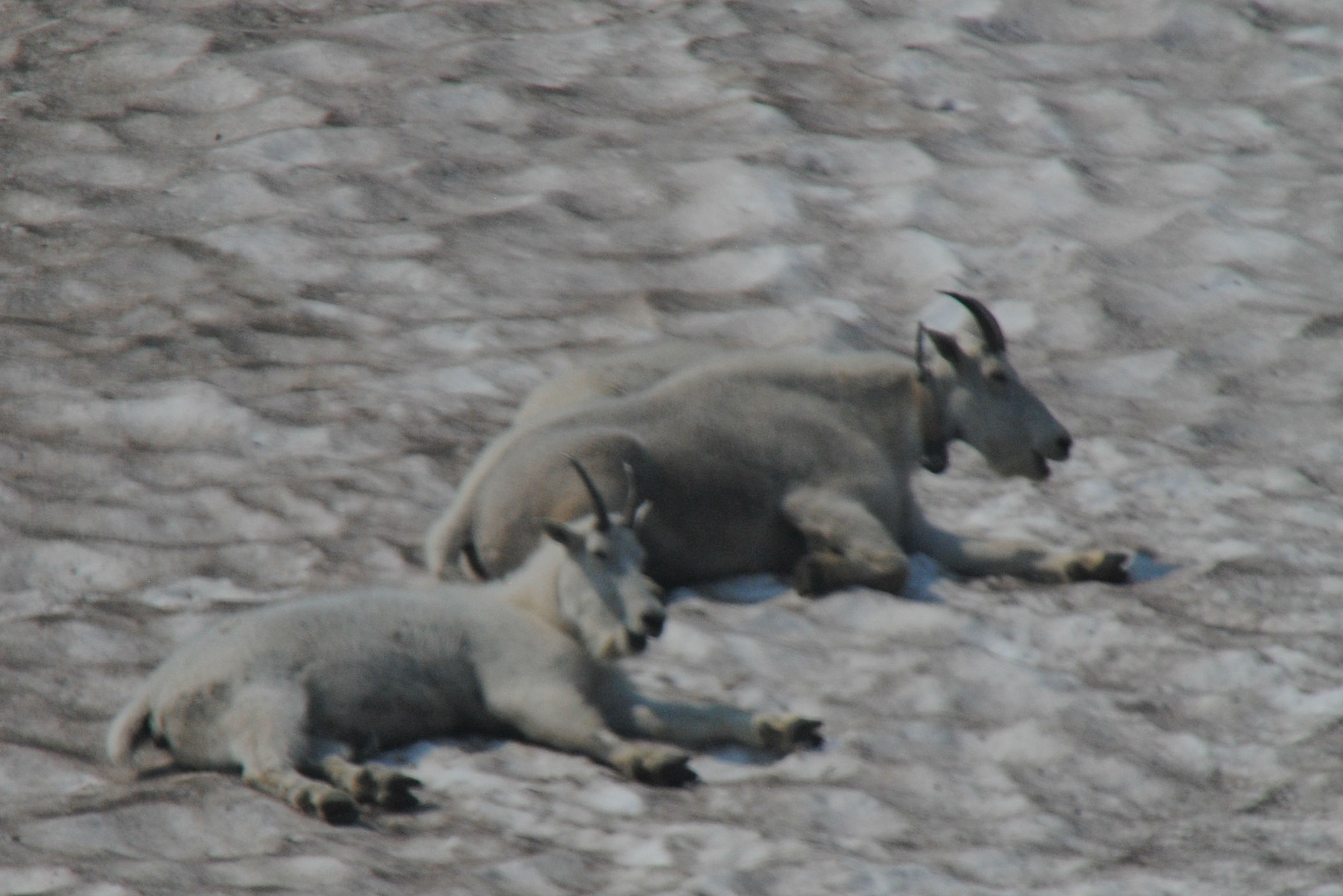
Unfortunately, due to the smoke haze, Hidden Lake remained pretty much, HIDDEN! Again, I can only imagine the majesty of the view in the clear air. Thankfully, along the trail, I was lucky enough t spot several Mountain Goats to keep me (and the other hikers) amused. In addition to seeing a small family of Mountain Goats, there was one single, studly Mountain Goat who was making his way parralel to the trail, and seemed to be looking for every opportunity to strike a pose.
While the park rightly advocates for visitors to keep the wildlife wild, it was clear that this guy was well habituated to the humans in his environment. Having said that, for the most part, he was left alone, and he certainly left the humans alone while he was making his way to his next feed.
MANY GLACIER REGION
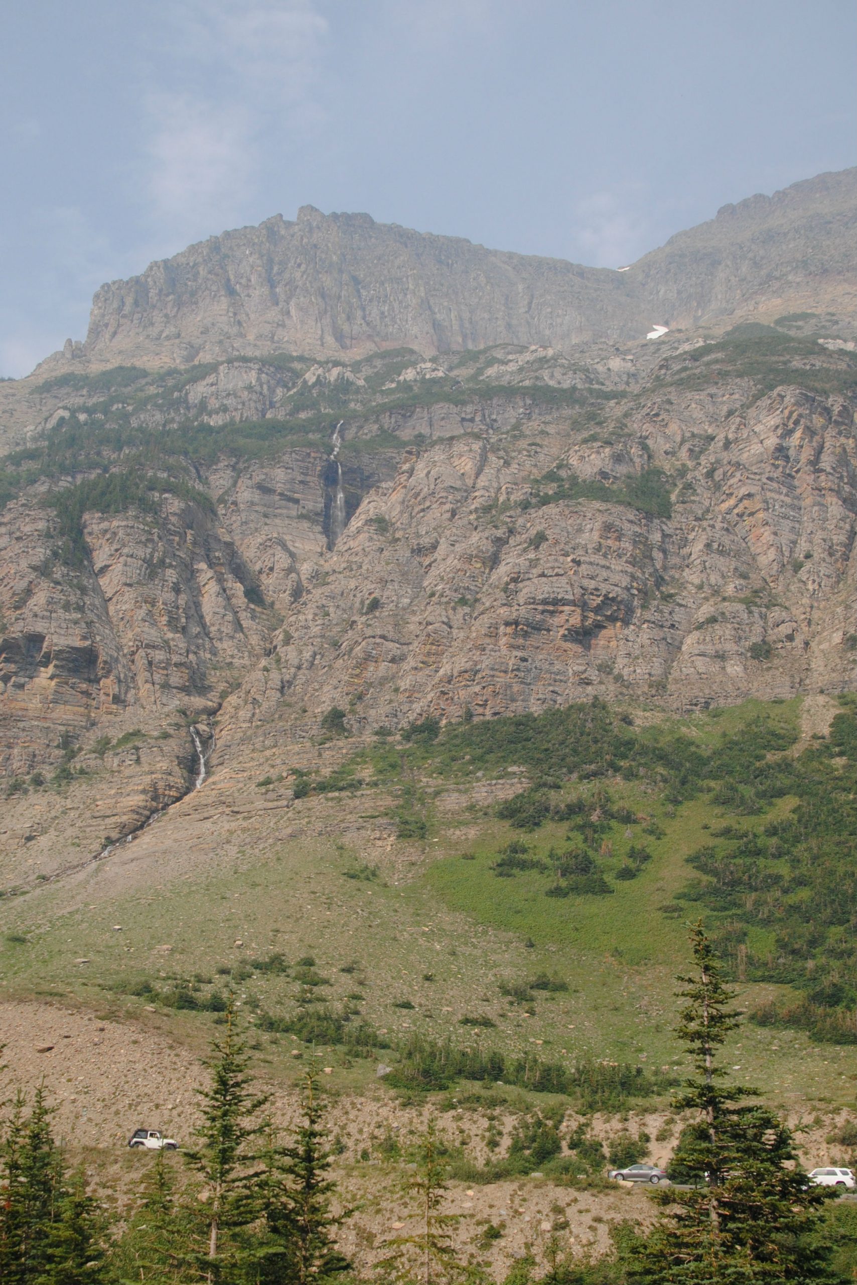
On my second full day in the park, I made my way to the Many Glacier Region, which is located a 45 minute drive north of the St Mary’s entrance on the East side of the park. I was dearly hoping that the smoke haze would be somewhat diminished in this region, but in fact, the wind had sprung up, and if anything it was worse.
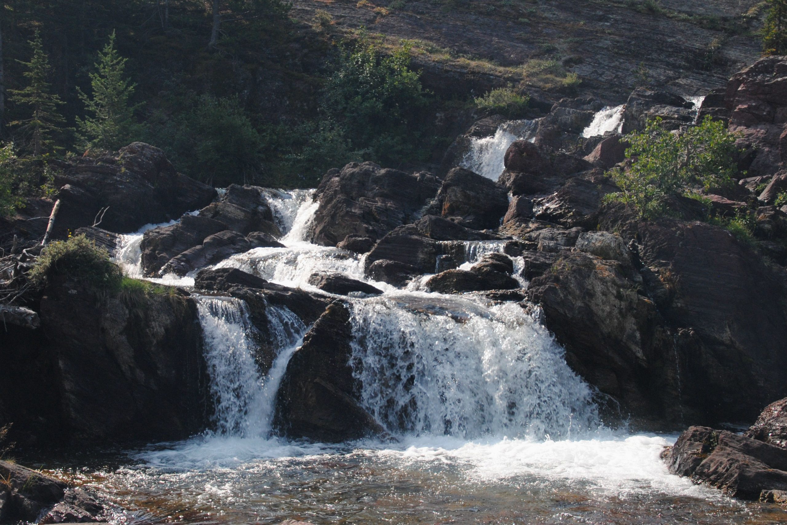
Rather than hike the long trail to the Grinnell Glacier, and risk no visibility, I changed plans and headed off on the Swiftcurrent Pass trail towards Bullhead Lake which was a hike that had been recommended by the rangers the day prior. The hike passed right by Redrock Lake and falls, before winding its way toward Bullhead Lake. The trail, as far as Bullhead Lake was approx 3 miles, and it was a relatively easy walk, barely any elevation, and with the lake and cascades along the way, it made for a variety of sights to see along the way. I’d been told that Moose had been frequenting the lake here recently, but unfortunately, none were around while I was there. Rather than continue on up the pass, I headed back to the trailhead and around towards the Many Glacier Hotel on the shores of Swiftcurrent Lake to find a place for a picnic lunch.
The hotel here is styled on a Swiss Chalet, and is located right on the lake shore, so unfortunately, it didn’t have a cosy, welcoming feel to visitors (at least not to this visitor). I skirted around the hotel, and sat on some driftwood on the lake shore to eat my lunch… That was Many Glacier for me – I’d definitely return, as I’d love to hike Grinnell Glacier, or even some of the other glacial lakes in the area, but that will have to be another trip.
PIEGAN PASS
My final hike in the park was to Piegan Pass. This was a 9 mile out and back hike from Siyeh Bend to Piegan Pass. The trail wound its way up though the forest, along gentle switchbacks, finally reaching small clearings, before emerging onto the side of the mountain, with the trail then heading below the moraine ridge for 1.5 miles to the peak. This was a moderate trail, not strenuous, but the ridge trail to the pass was a little challenging for me, as each time I looked down, I couldn’t help but think about how far I’d go if I just set one foot wrong and slipped off the trail.
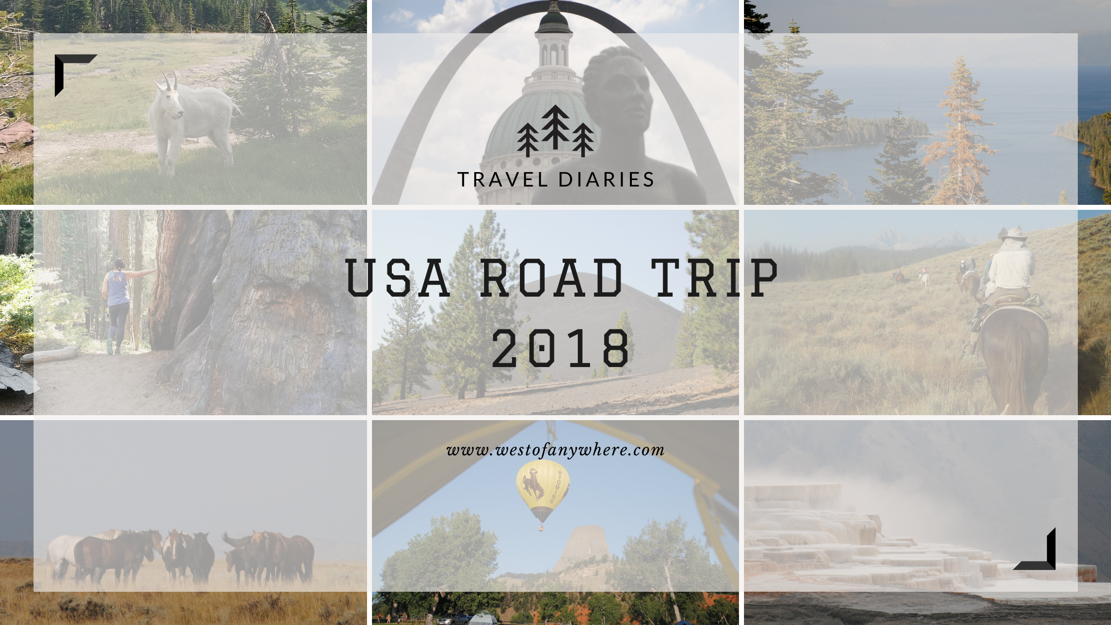
Check out some of my other USA Road Trip Travel Diaries:
Hi Tori , Love all the pics ; the first 3 could be lots of places here in OZ , they look so familiar.
I love the waterfalls ; as you know I love a good waterfall .
Was good to chat on Skype and glad you are enjoying your travels.
Love from Mum & Dad