BLACK HILLS, SD – CODY, WY
JULY 25 – 31, 2018
The Black Hills are a small mountain range in the West of South Dakota, rising from the Great Plains and extending North into Wyoming. The Black Hills are home to millions of acres of forest & mountains, prairie and monuments like you’ve never seen!
WIND CAVE NATIONAL PARK
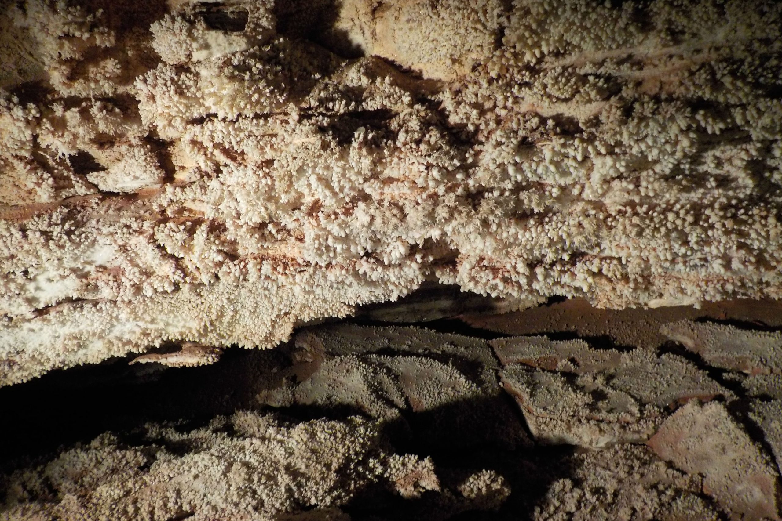
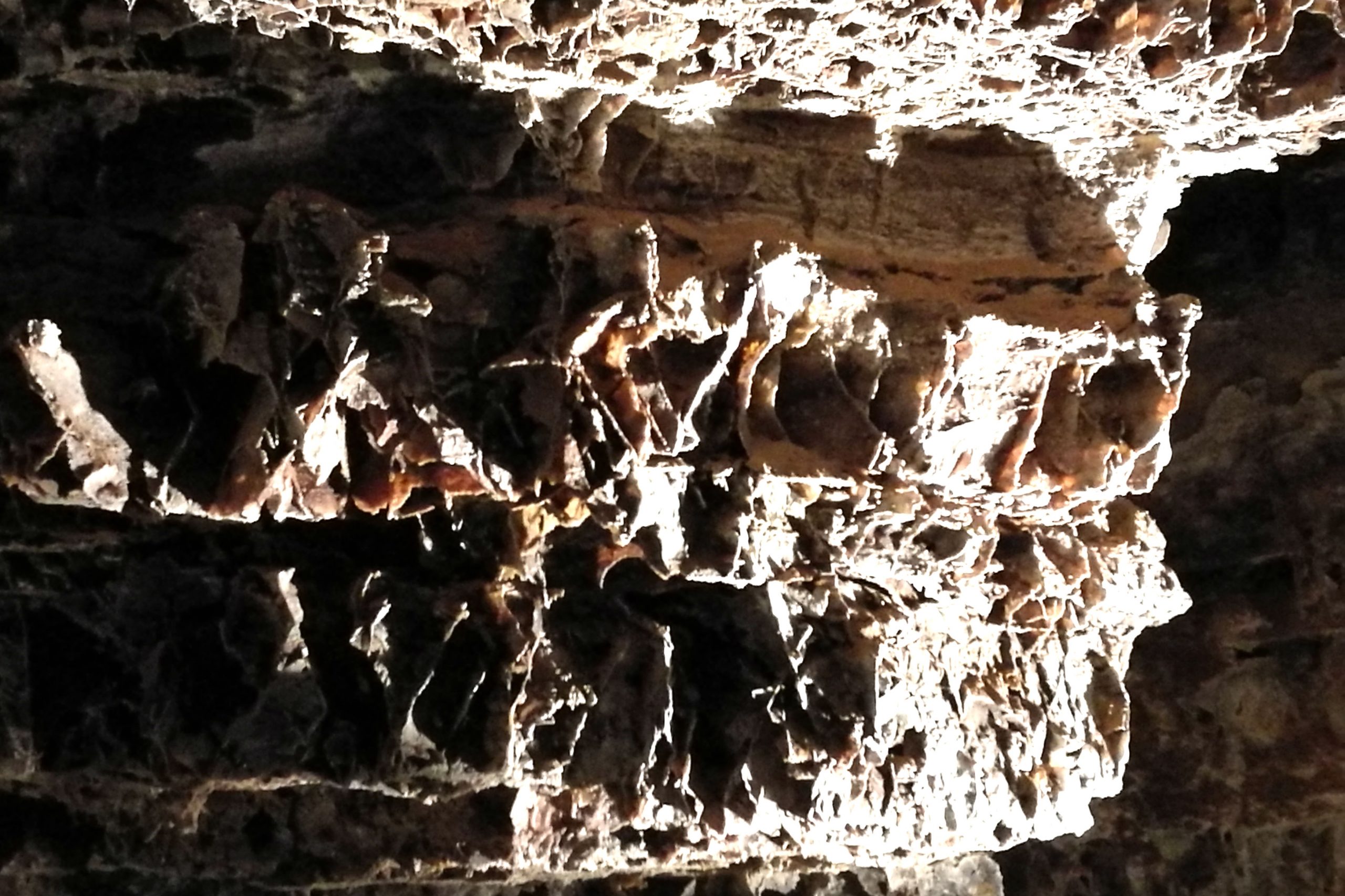
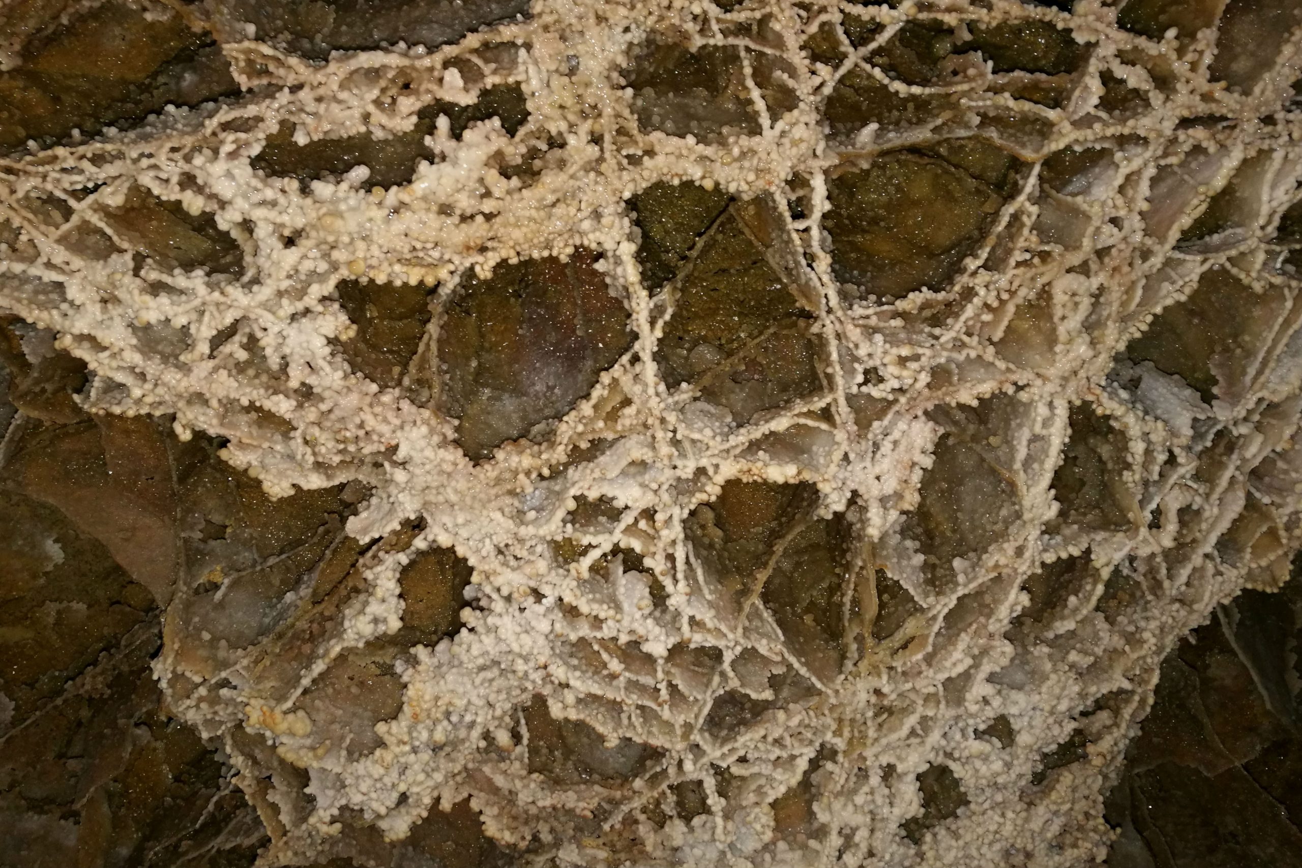
Wind Cave is one of the oldest National Parks in the service, becoming the seventh National Park in 1903, after having been discovered in the 1880’s. Wind Cave is a breathing cave, meaning that the atmosphere in the cave changes based on the barometric pressure on the surface. The cave contains 95% of the boxwork formations found in caves in the world (and the other 5% is located in other caves in the Black Hills in South Dakota.
The 1 1/2 hour Fairgrounds Cave Tour is one of a few ranger led experience. I chose this tour, as it visited both the upper and middle level rooms in the cave, with the opportunity to see some different formations. with a group of approximately 30 visitors. Infrastructure in the cave was set up by CCC volunteers in the 1930’s?. Each of the rooms in the cave varied, but many were full of displays of intricate boxwork, formed when the calcite in the rock eroded to leave thin feathers of limestone behind. Other formations seen on the tour were popcorn, flowstone and frostwork.
Over 100 miles of cave have been explored, however, scientists suggest that based on barometric readings, only 5% of the cave has been discovered – that’s wild… just the thought of heading off into the unknown in a deep dark cave sends shivers down my spine.
Above ground, Wind Cave National Park also has several hiking trails available throughout the park. I hiked two of these trails, and both were incredibly different. The Rankin Ridge trail is a short hike from the parking lot, up to the ridge top, where a fire lookout is located. Panoramic views over the National Park and the Black Hills region are available from here on a clear day.
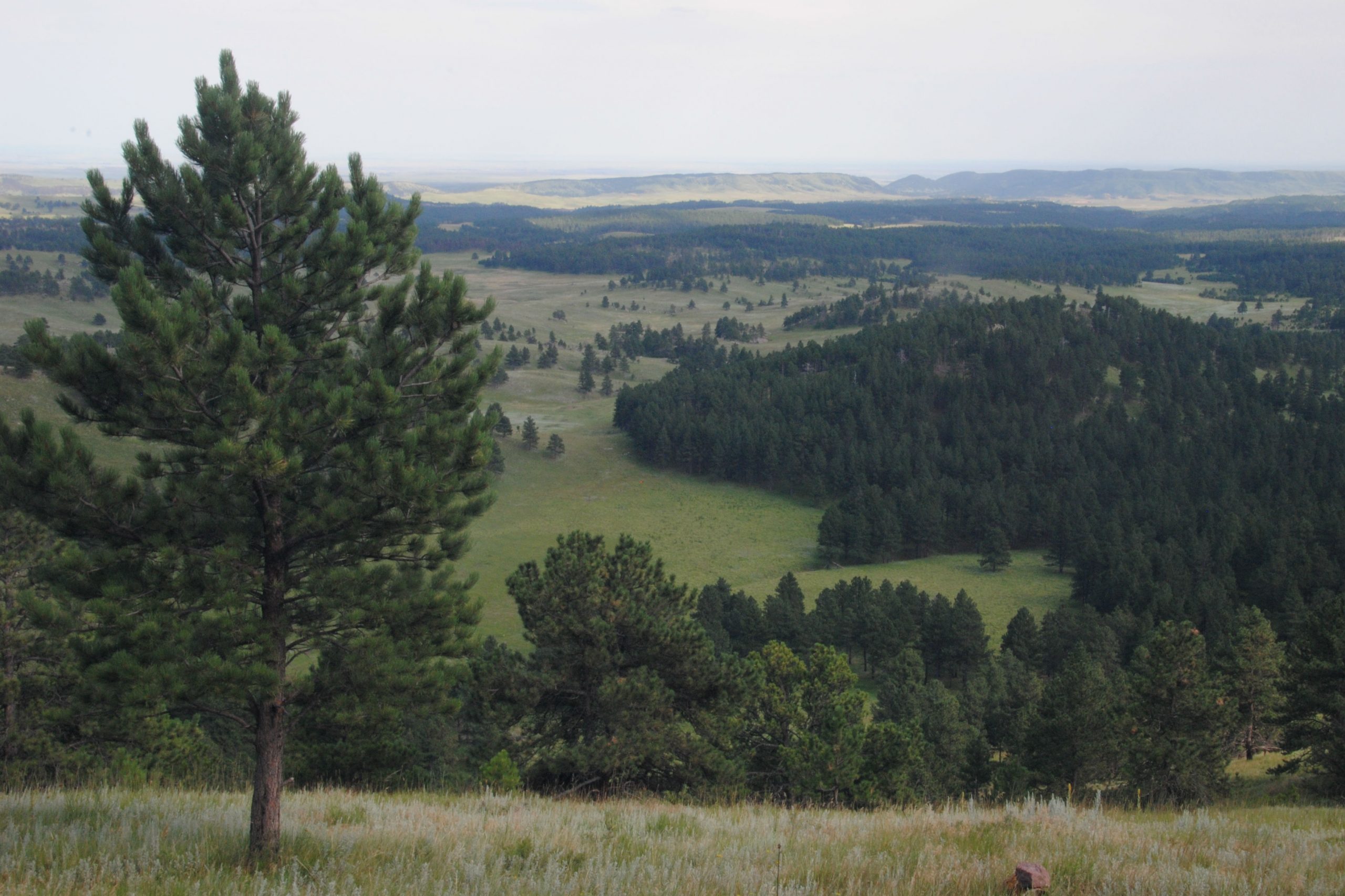
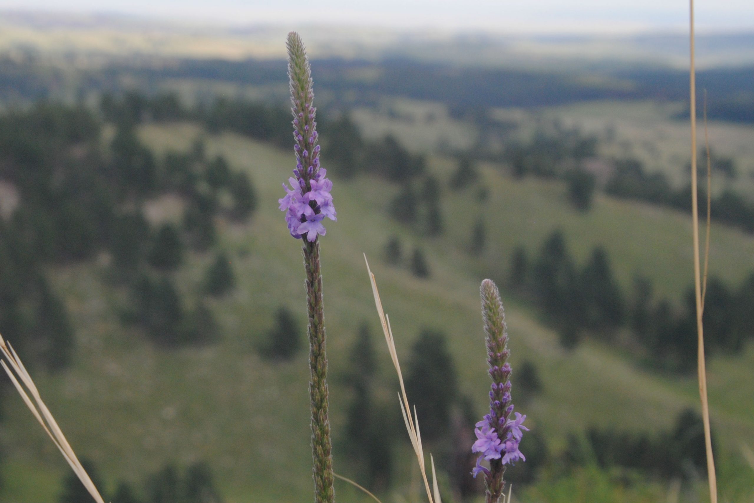
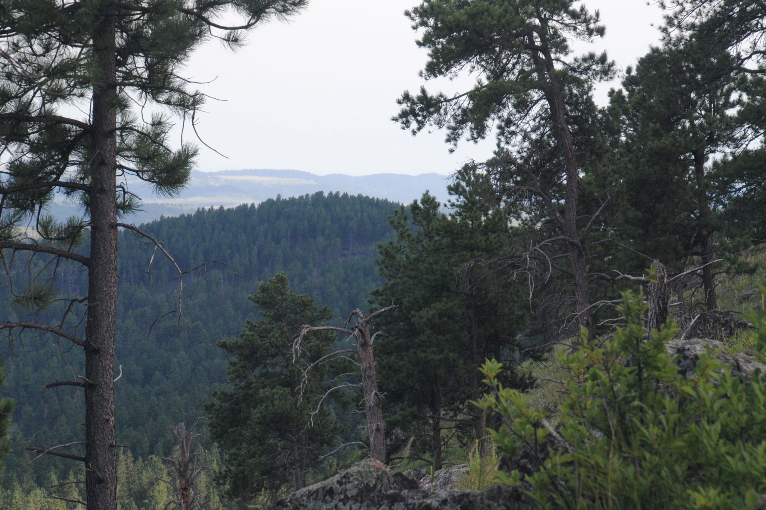
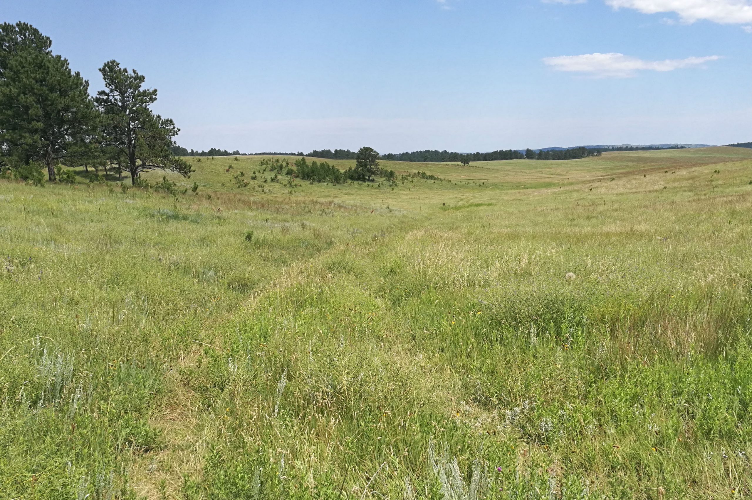
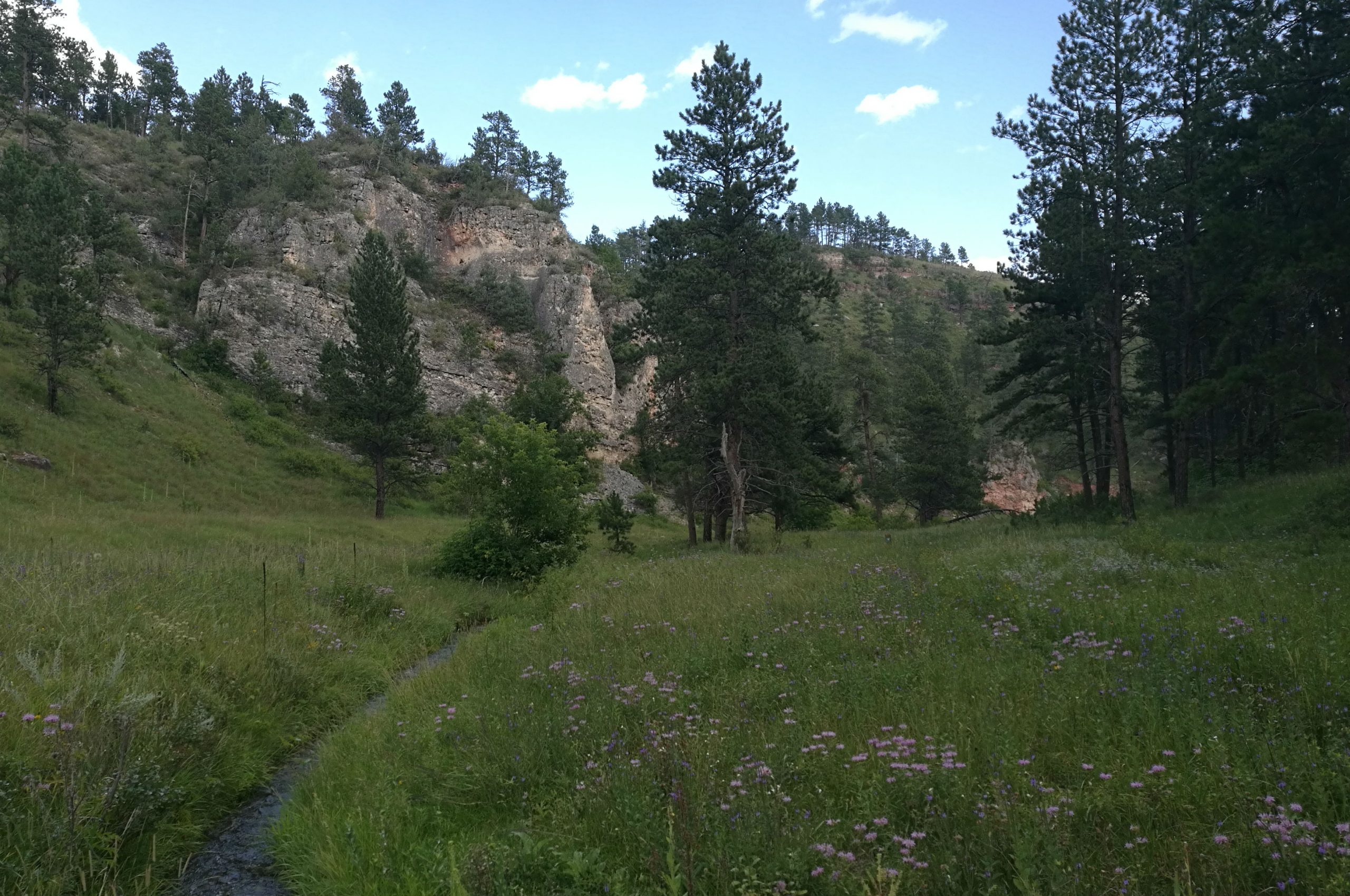
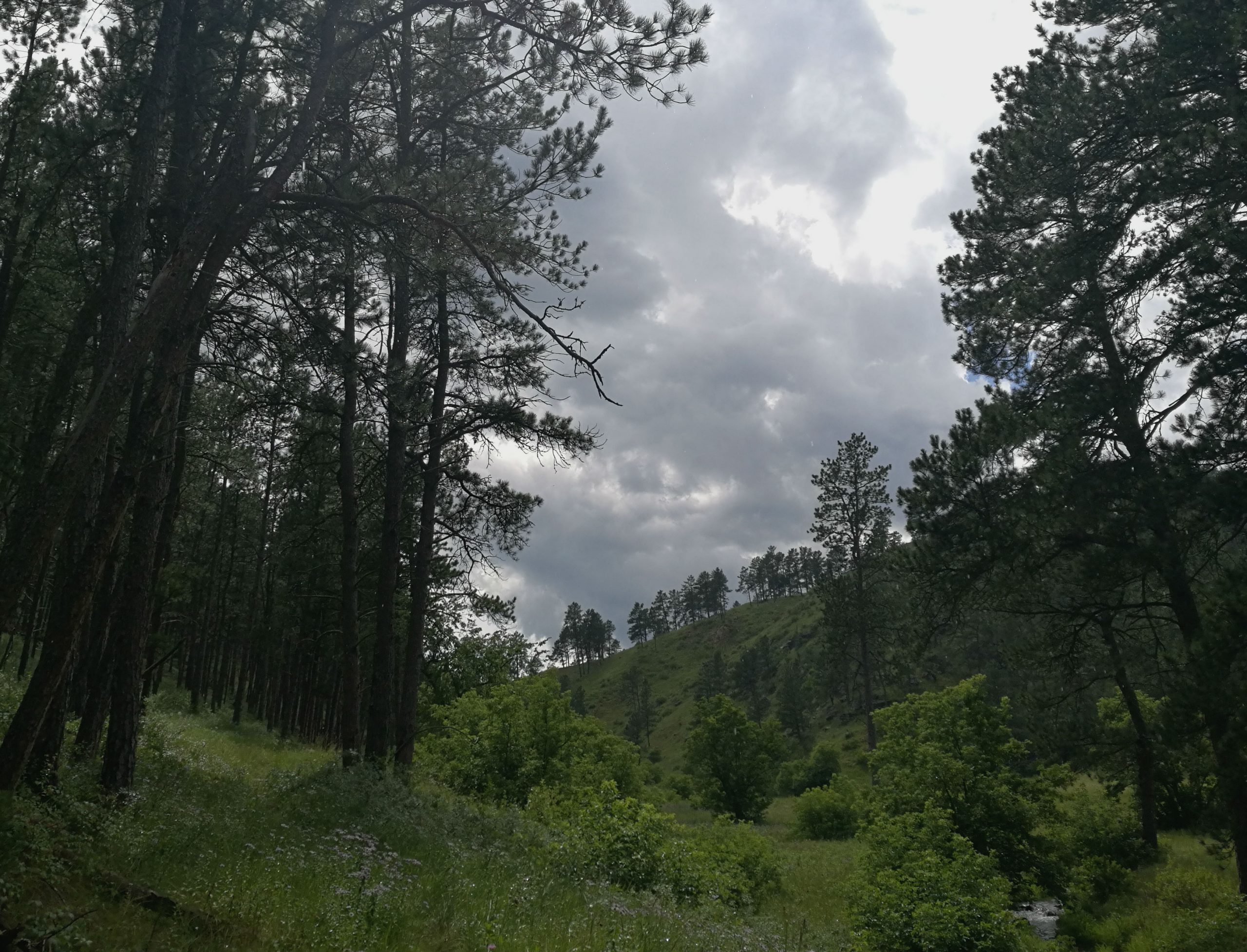
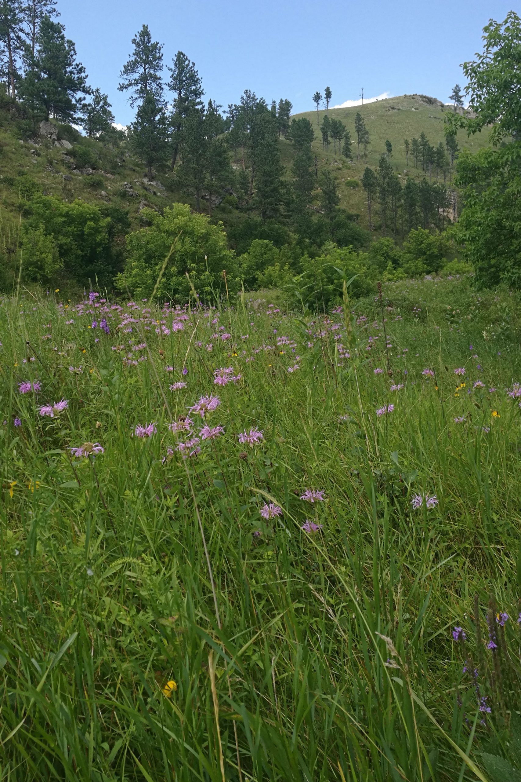
I also hiked the Lookout Point/Centennial Trail loop. Approximately 6 miles, this trail meanders its way through grassland, across a burbling stream, through Prairie Dog Towns before meeting the Ponderosa Pine forests. After descending through the forest, the trail opens out into a delightful small canyon, and wends its way along the creek and through some patches of thick vegetation before making its way up to the parking lot. Towards the end the trail was a little hard to follow, and had some dense patches of Poison Ivy, but was a rewarding hike thanks to the diversity of the ecosystems that the trail passed through.

JEWEL CAVE NATIONAL MONUMENT
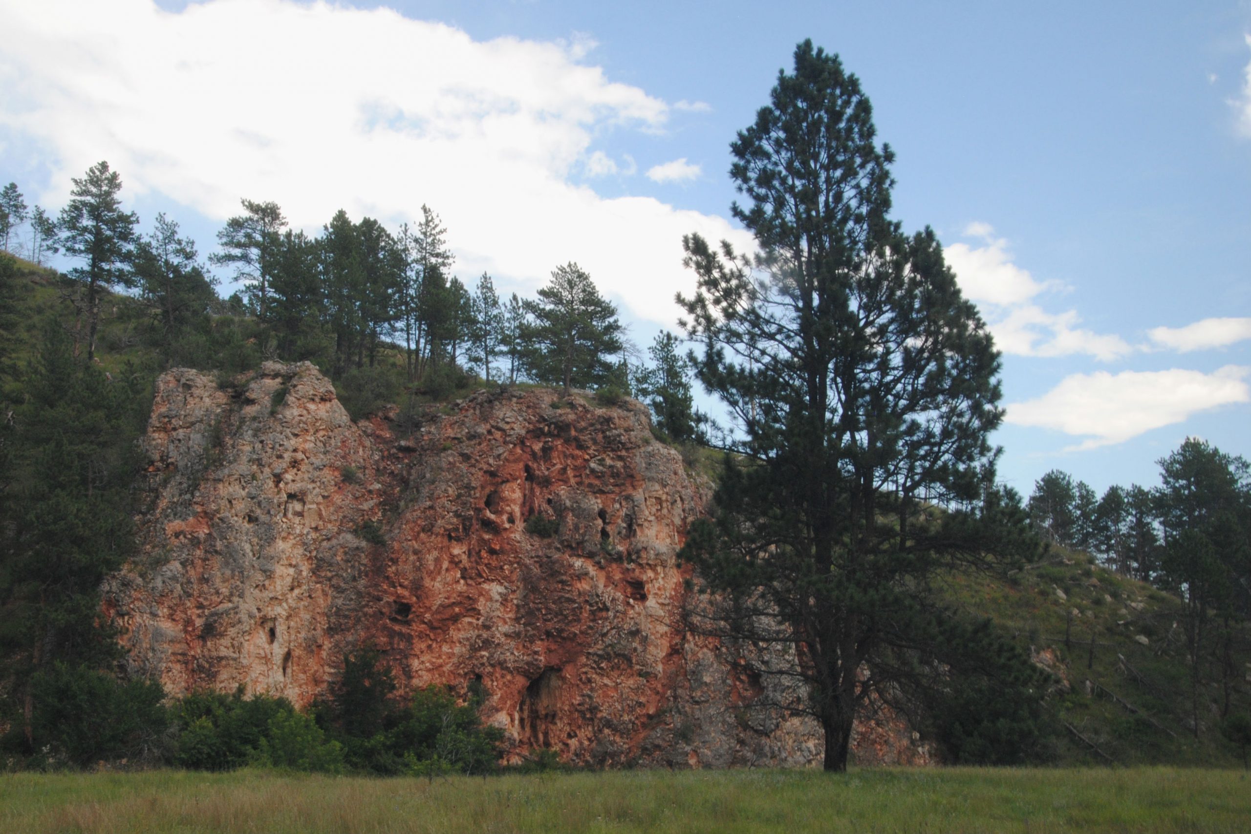
Jewel Cave is located approximately 30 minutes drive from Wind Cave, but is a totally different cave in terms of the size of its rooms and the formations seen in the cave.
Declared a National Monument in 1908, it is the third longest known cave system in the world and experts here suggest that only approximately 3% of the cave has been discovered.
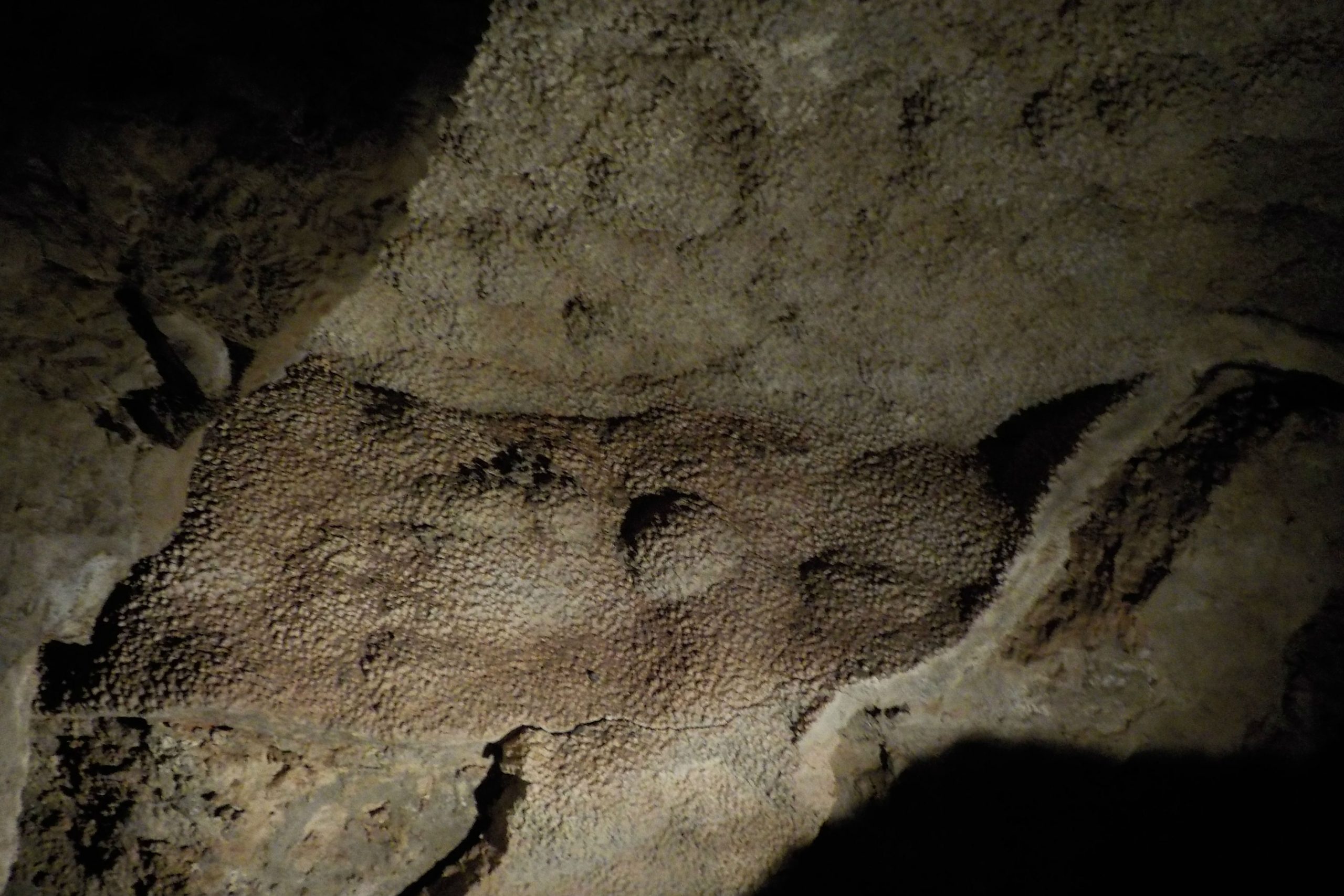
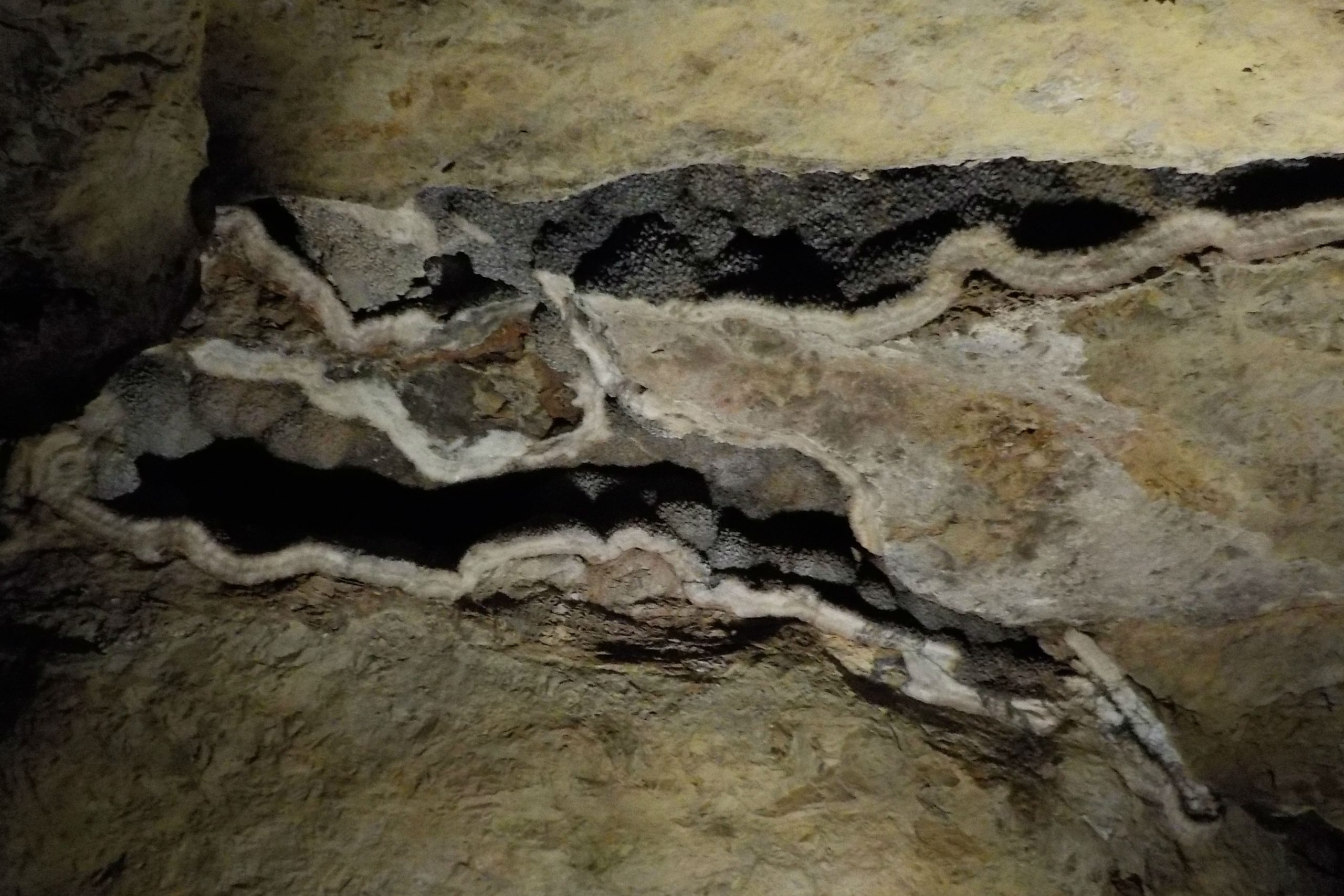
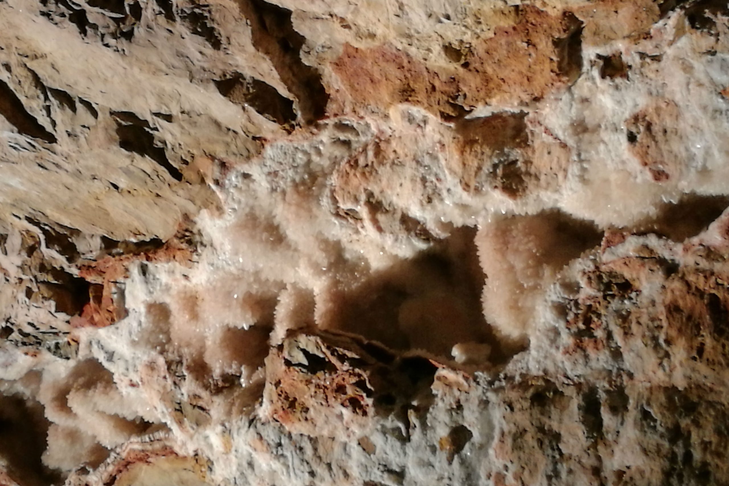
Jewel Cave is chock full of calcite crystal formations (one of the most extensive displays known), as well as some stalagmites and stalactites, and one super impressive ‘soda straw’ stalactite.
The Scenic Tour in Jewel Cave ran for around an hour and a quarter, with a group of 30 visitors. As would be expected, there were many sets of stairs to ascend and descend as we were led through some very large cave rooms displaying calcite crystal formations. Further down in the cave, the ranger killed all the lights, and while it was incredibly, almost unnervingly dark, the sound of the cave, with water trickling down walls in the background was incredibly serene.
CUSTER STATE PARK
Custer State Park is South Dakota’s first and largest state park, comprising over 70,000 acres of grassland, pine forest and granite spires. While there are some stunning hikes in the park, most visitors come to Custer to drive the Wildlife Loop road in the hope of seeing the free roaming herd of Bison, and various other mammals in the park – Pronghorn Antelope, Bighorn Sheep, Deer, and of course the infamous begging Burros.
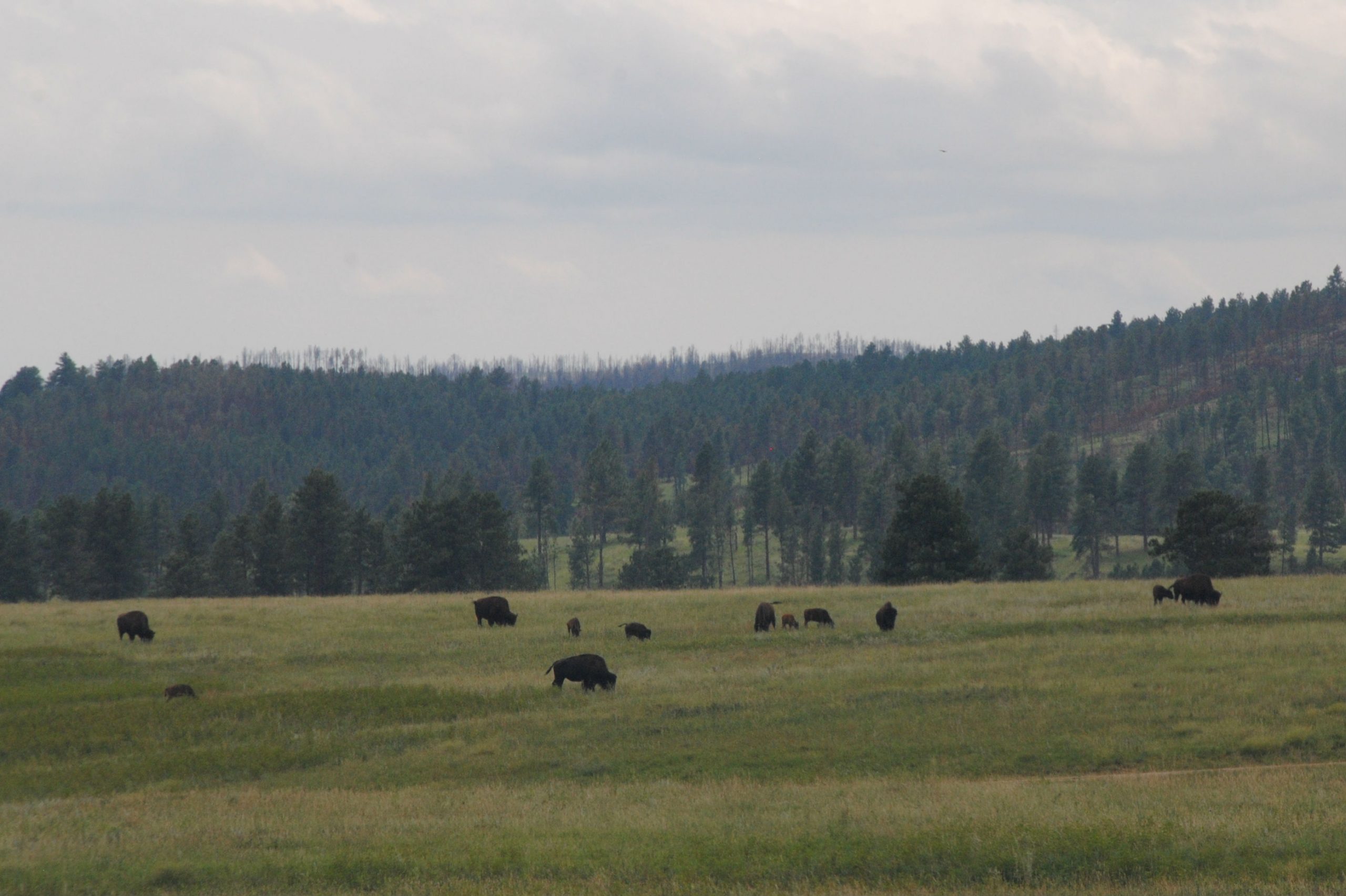
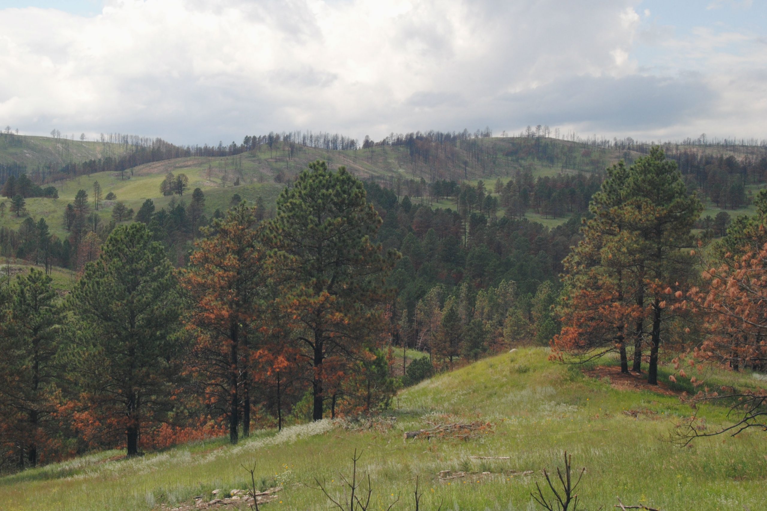
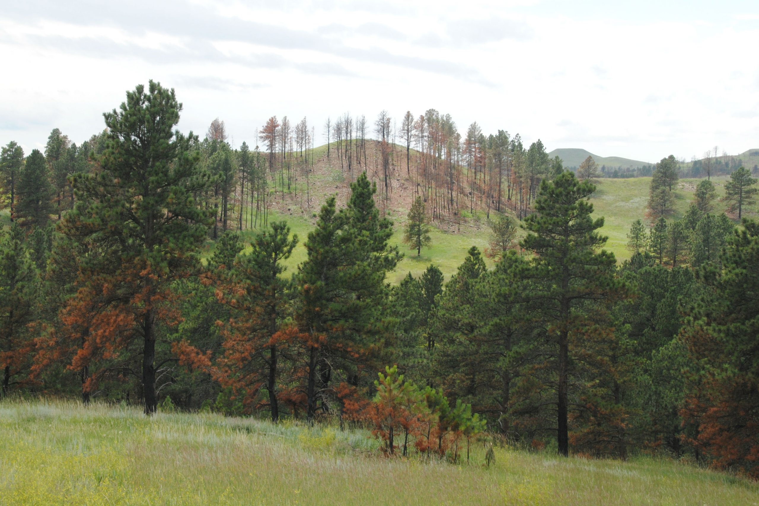
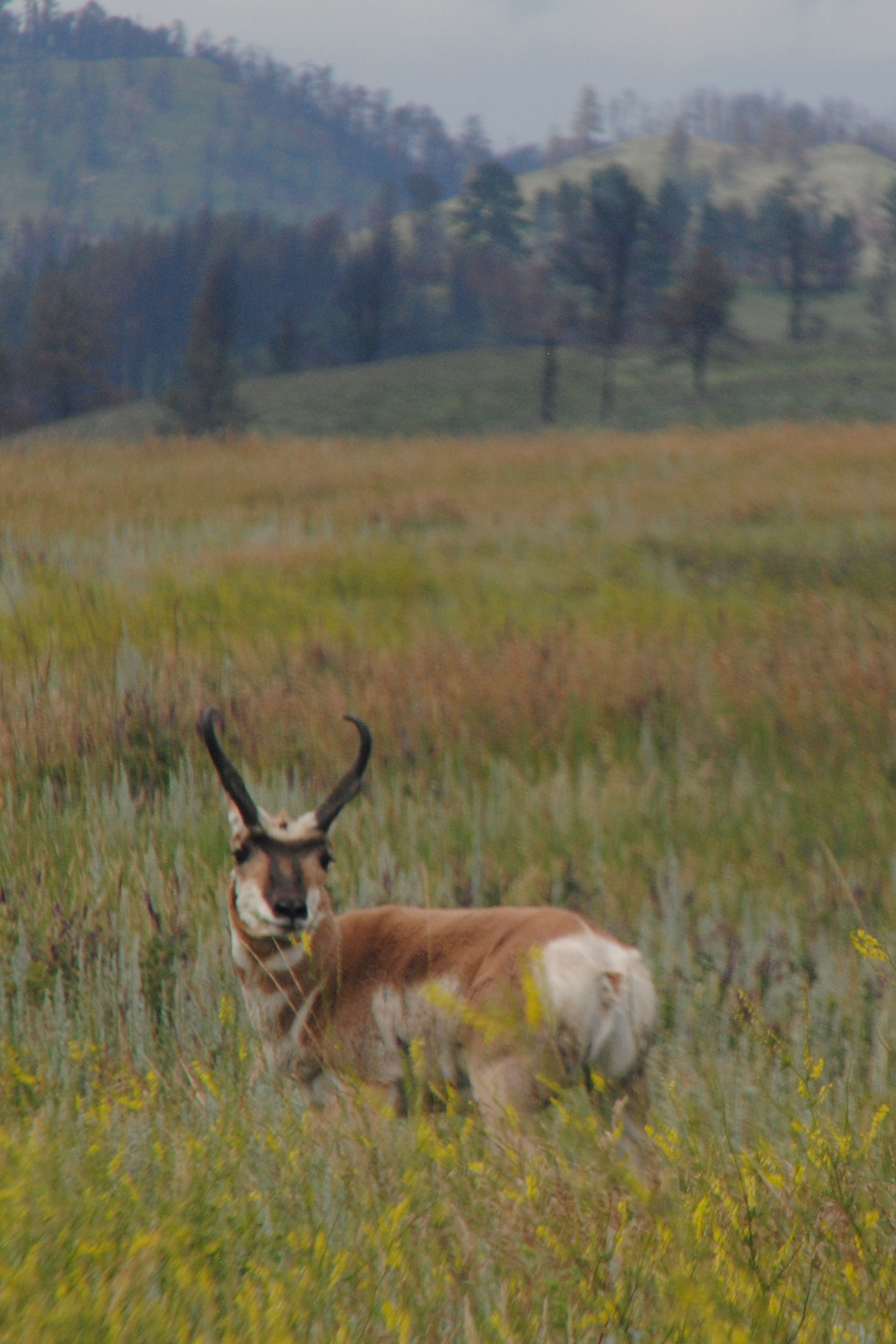
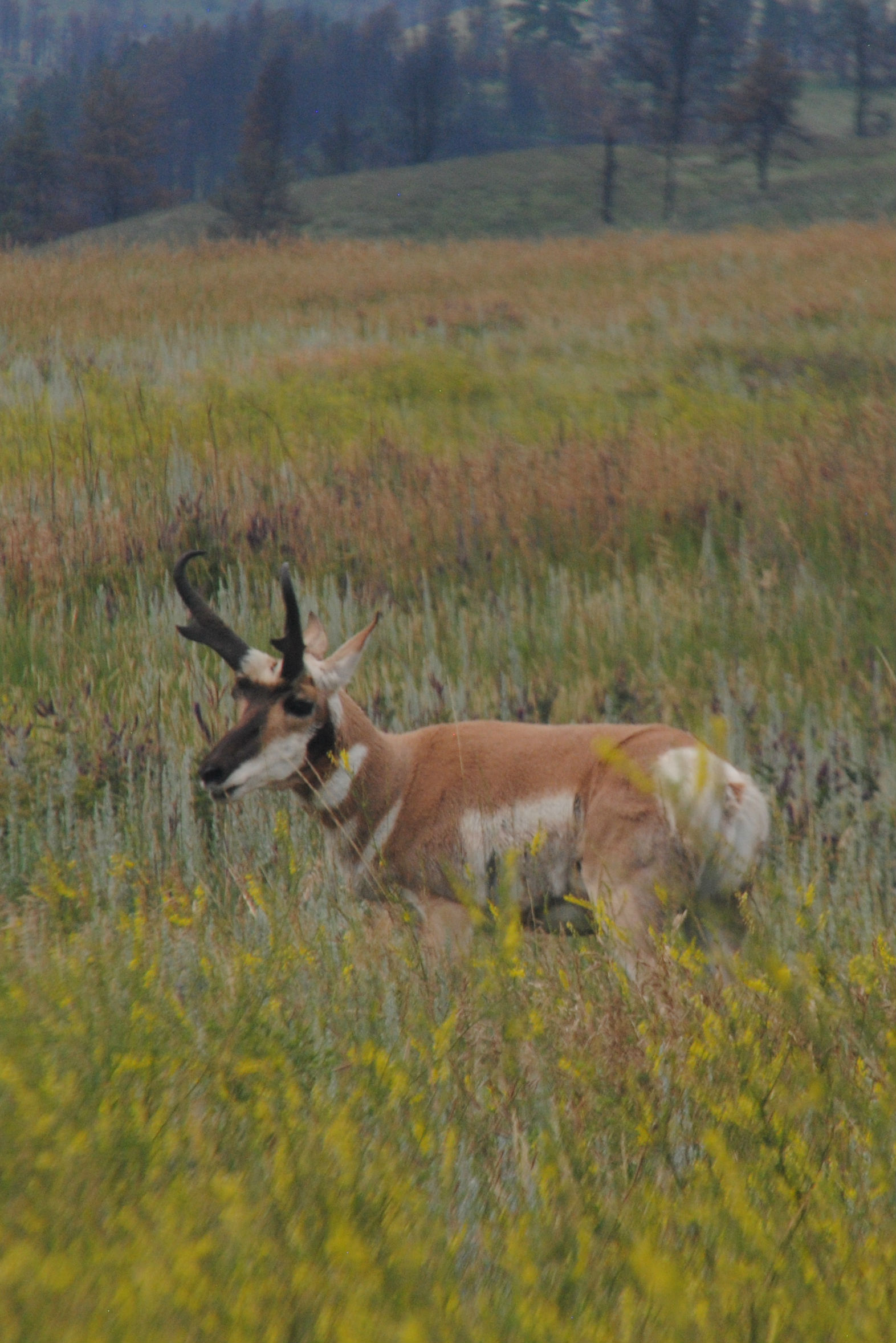
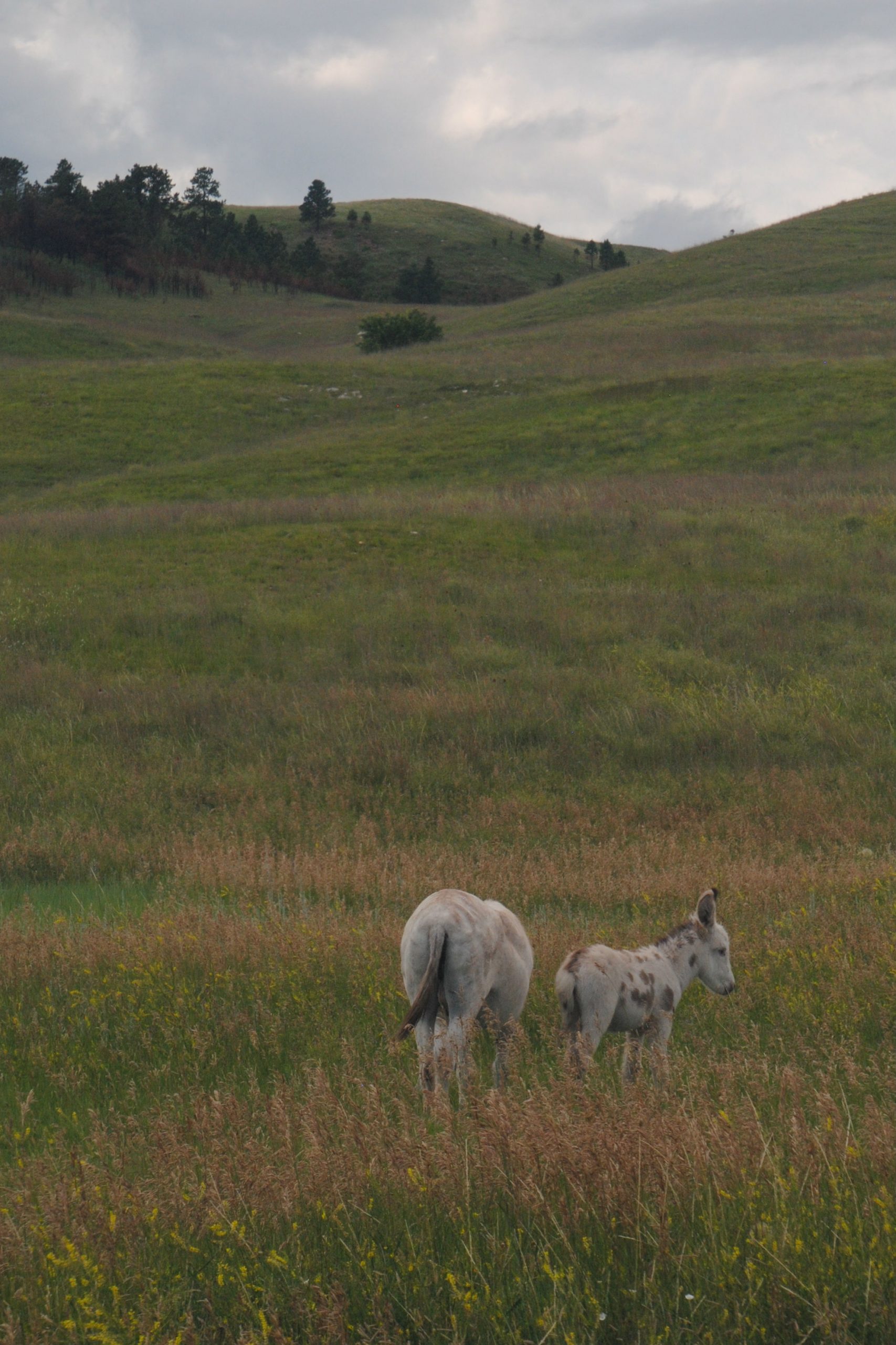
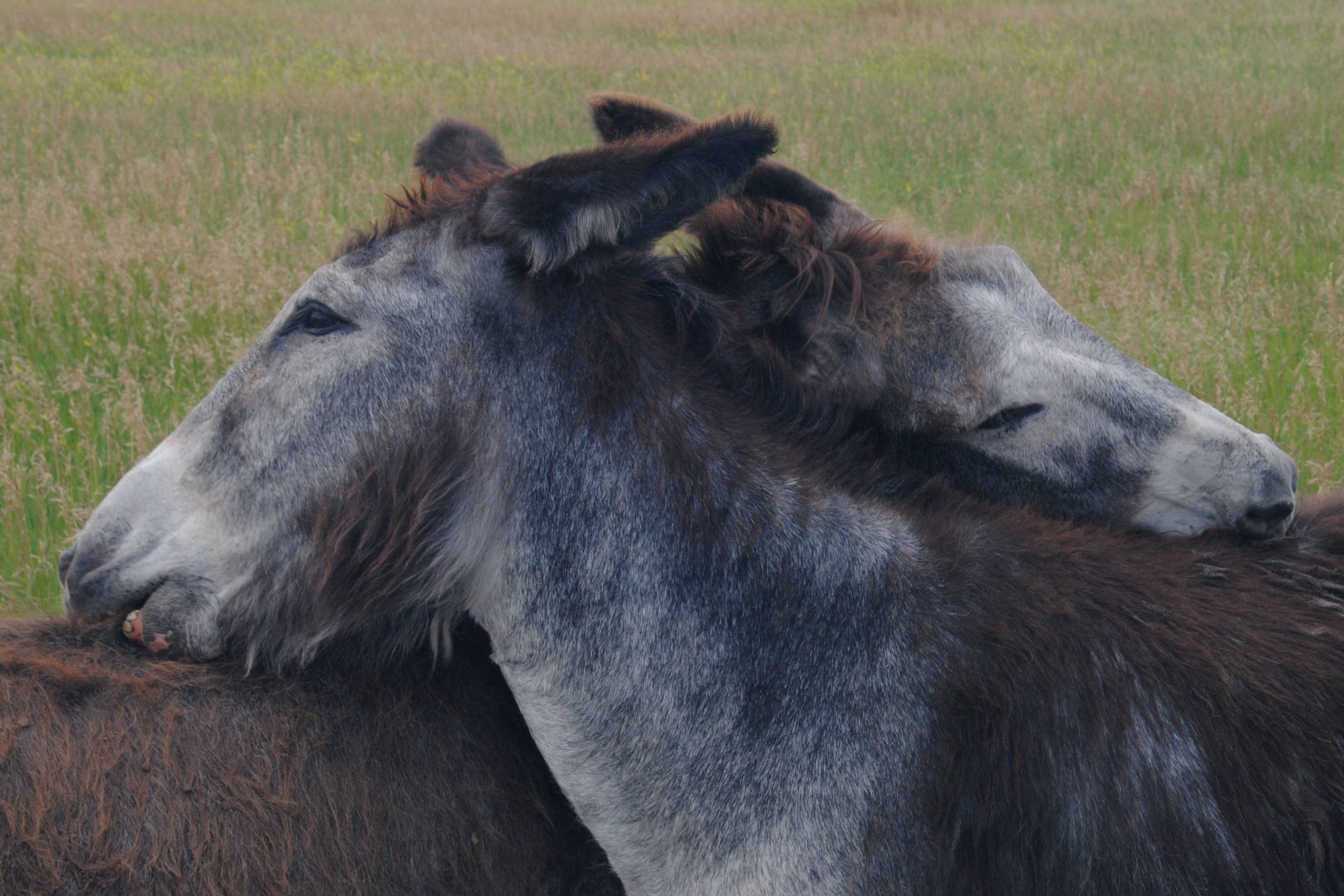
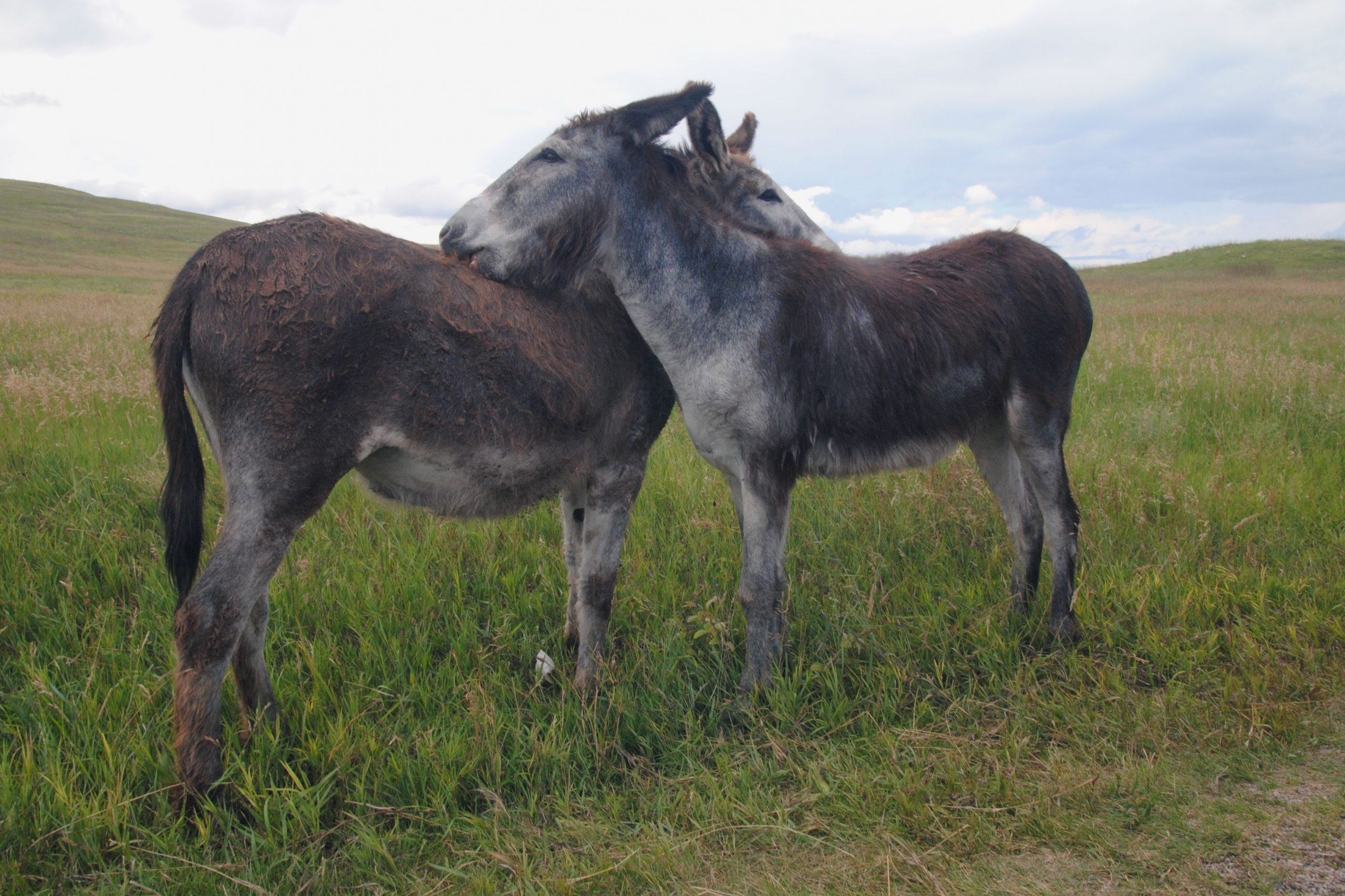
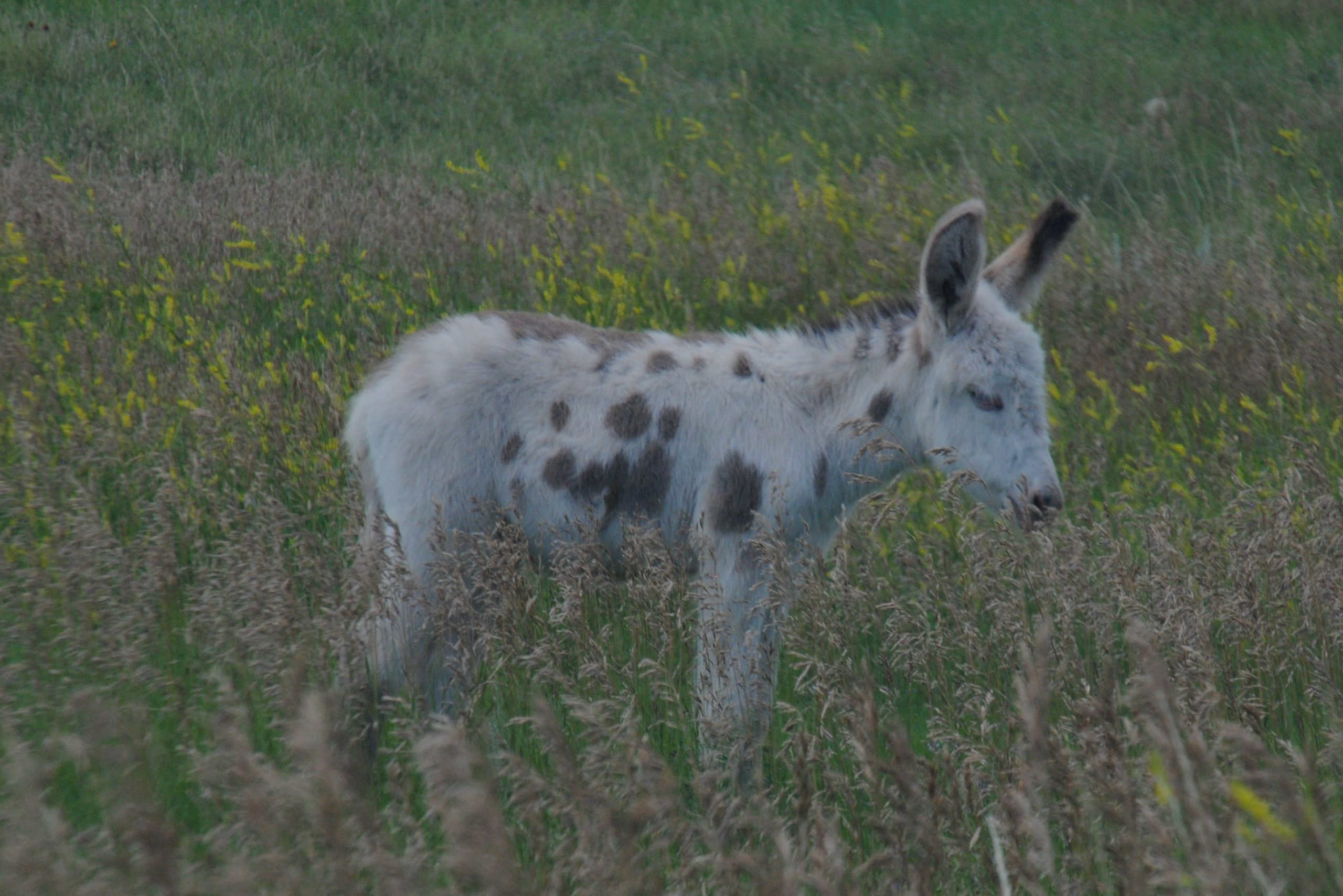
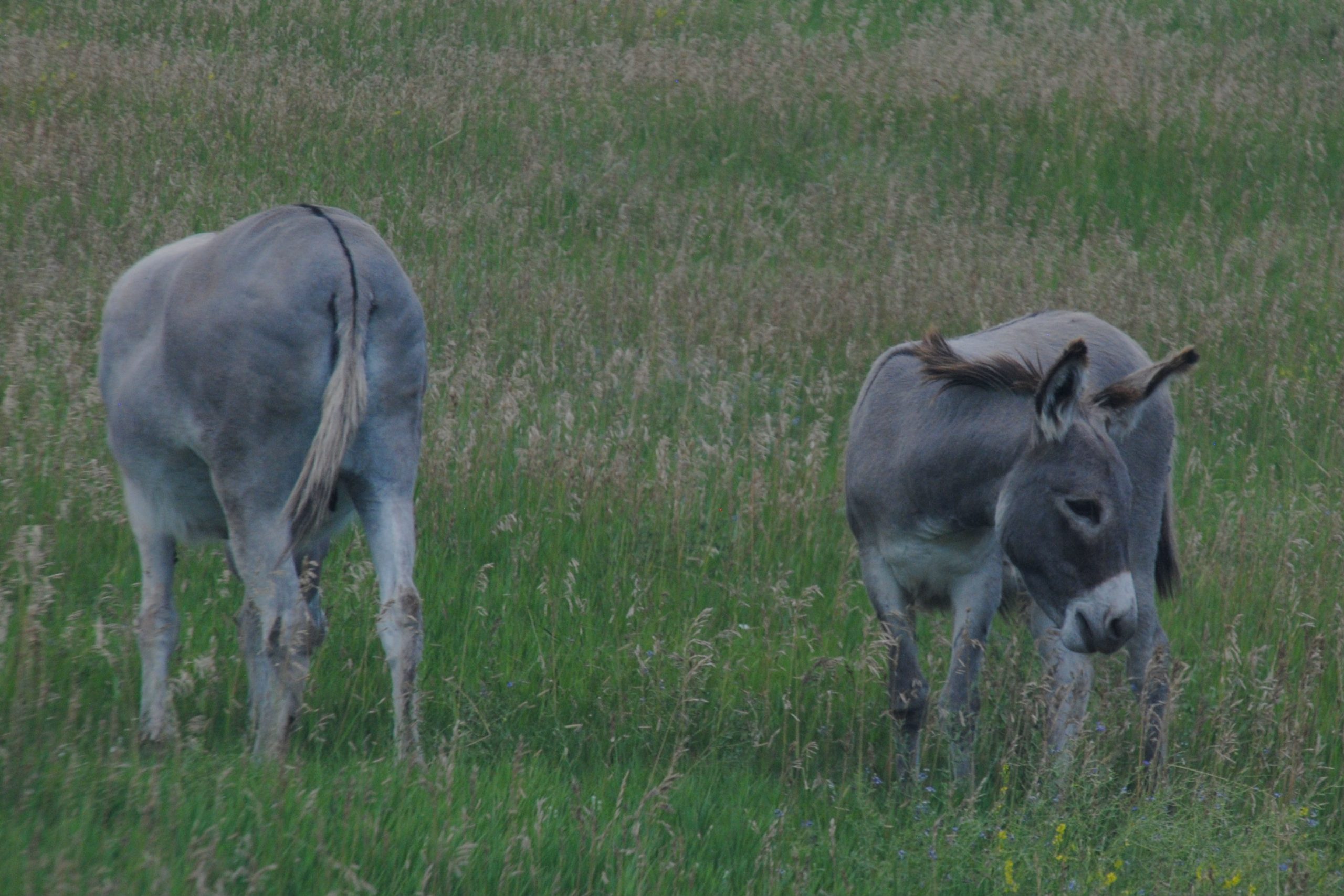
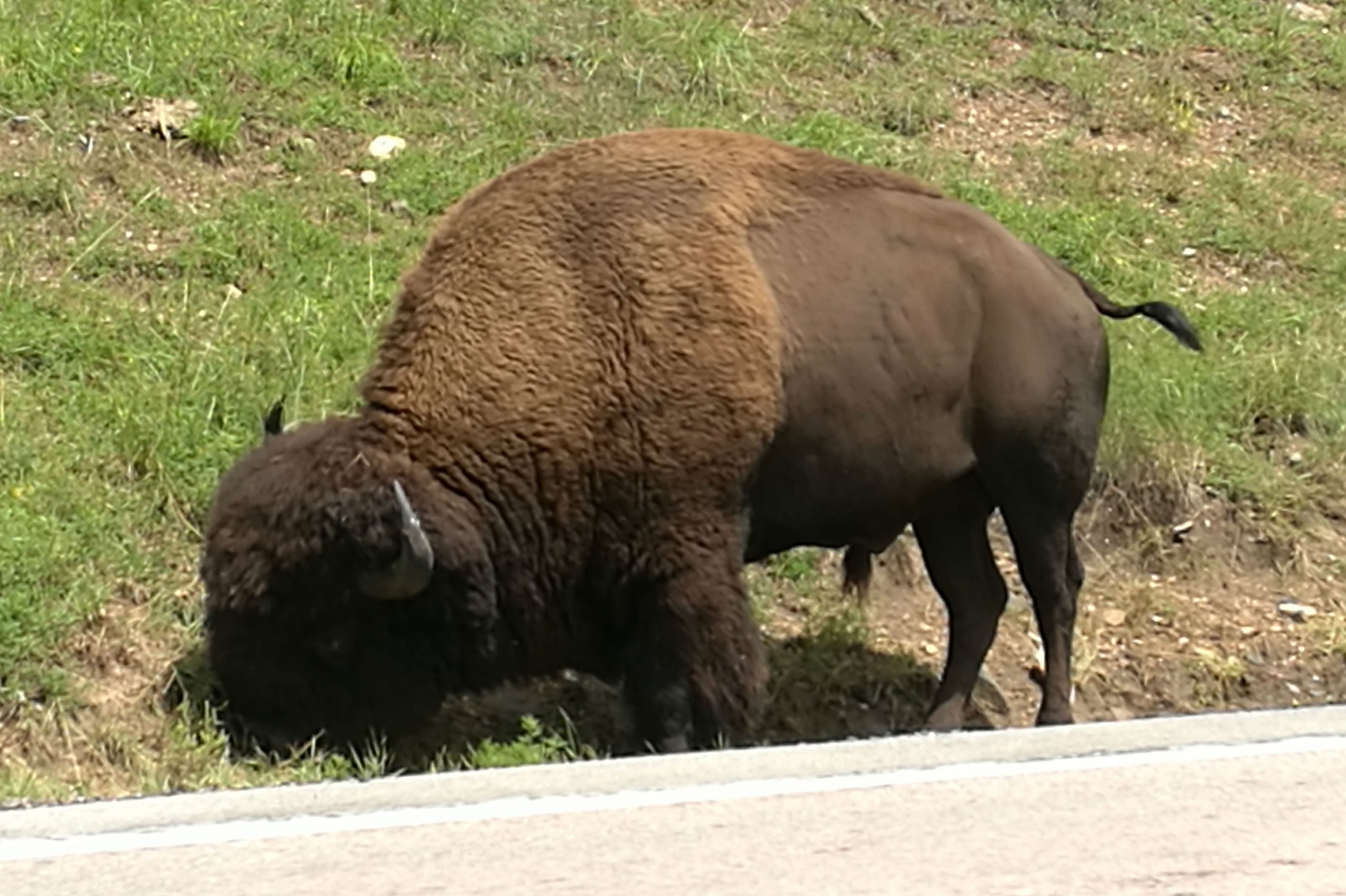
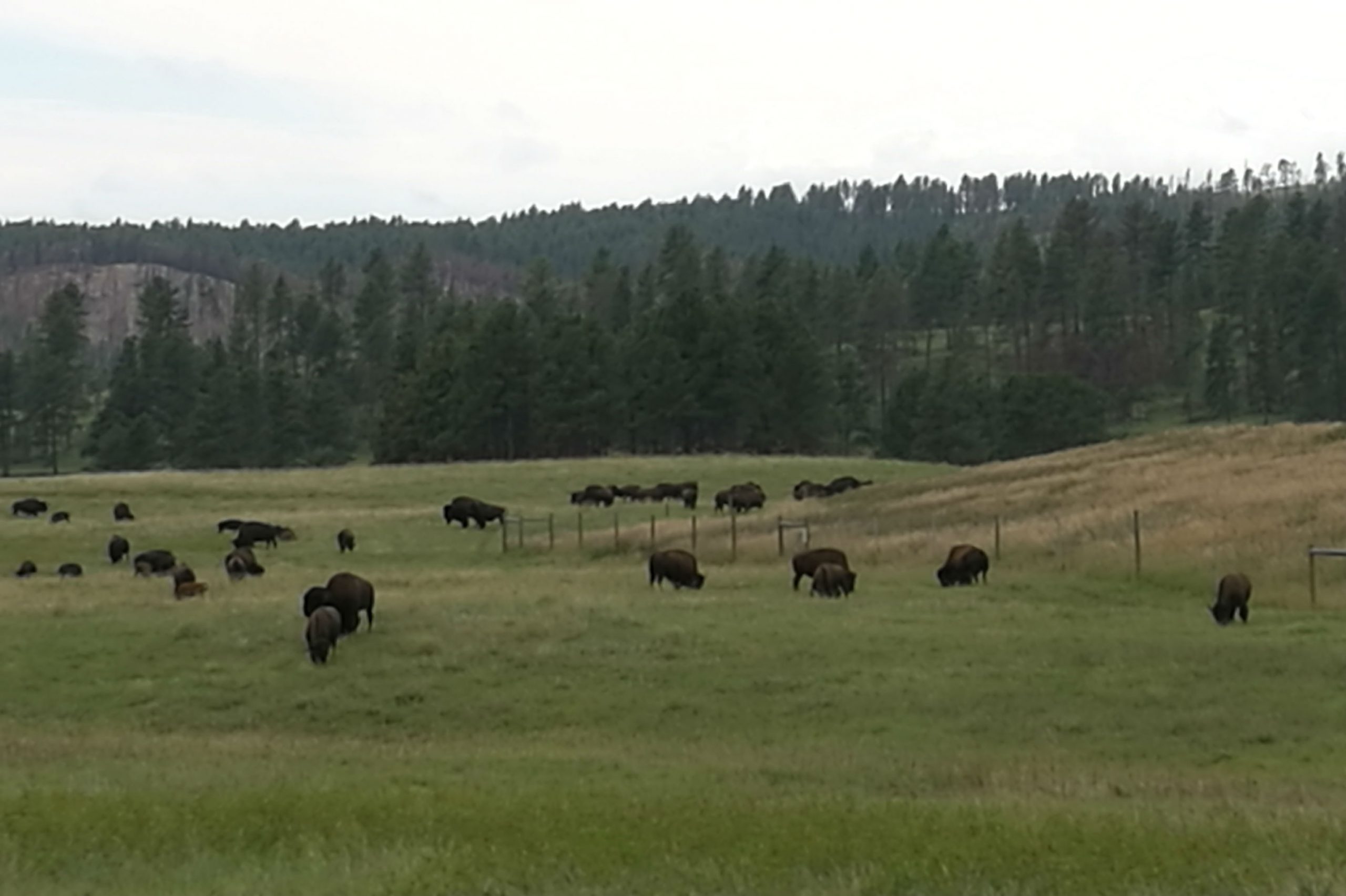
Highlight of the nightly ranger program at Custer SP was this video – do yourself a favour and check it out Guy On A Buffalo – Episode 2 (Orphans, Cougars & What Not)
NEEDLES HIGHWAY- SYLVAN LAKE – BLACK ELK PEAK
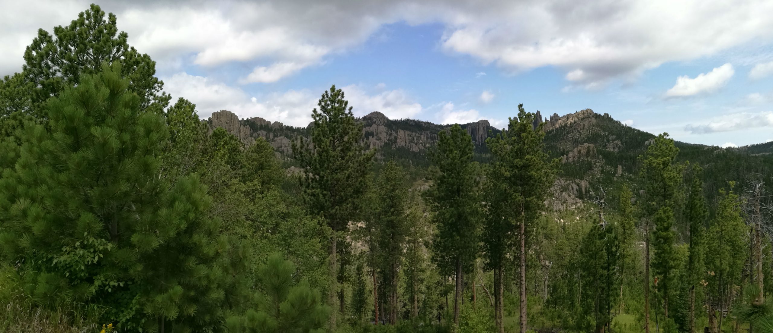
The Needles Highway, a renowned scenic route in the Black Hills of South Dakota was mapped out by Peter Norbeck in 1919. He mapped out the route to provide the grandest views, however, it seemed like an impossibility to engineer. Two years after mapping out the road, and 150,000 pounds of dynamite later his engineer completed the project, and the road still winds though the giant rock sentinels to this day.
The drive is, at times, a little hair raising, considering the road was constructed when vehicles were much smaller than they are these days. Additionally, the narrow roads wind between gigantic rocks, and knife edge drop offs, and there are also a couple of one lane tunnels to take into consideration. Thankfully, there are plenty of pull outs, allowing drivers to stop and appreciate the amazing scenery of the granite formations that abound in this region of the Black Hills.
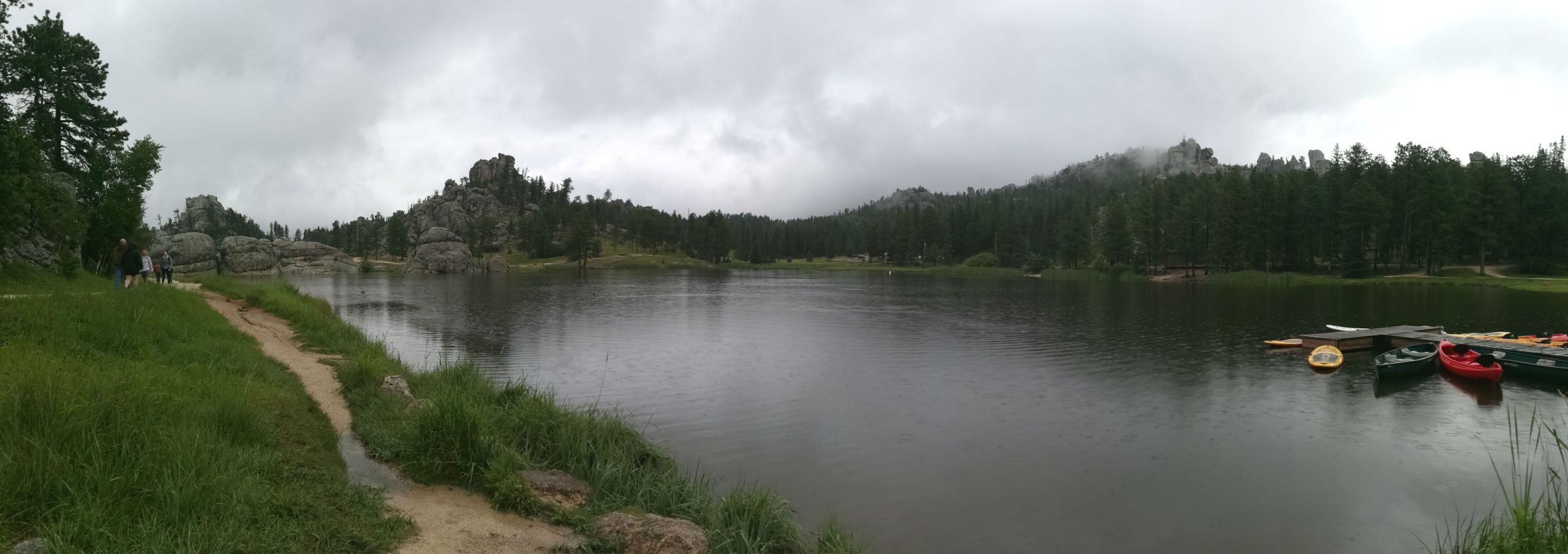
Towards the end of the Needles Highway (at least, at the end of the nail biting section), lies Sylvan Lake. Sylvan Lake is the ultimate resort area in this region of the Black Hills, and immediately on arriving, it was not difficult to see why. The lake, created in the 1800’s, and part of Custer State Park, is set at the foot of some mighty granite peaks, and has its own collection of granite outcrops surrounding its shores. Canoeists, kayakers and SUP’s were all out on the lake in force, it looked like the perfect location to enjoy a paddle, swim or relaxing time fishing!
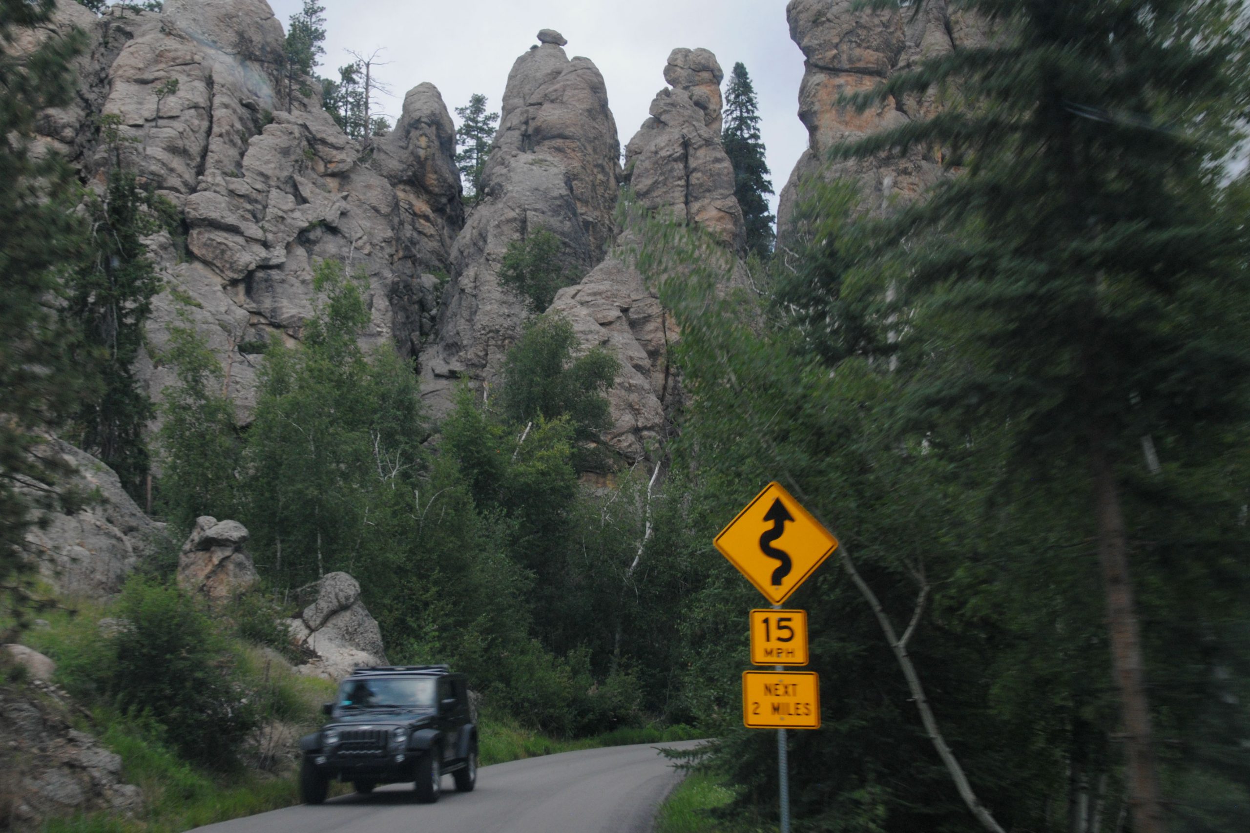
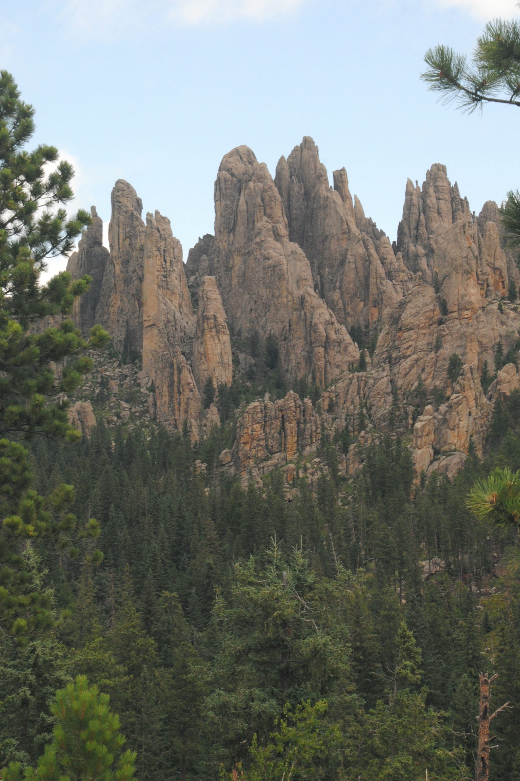
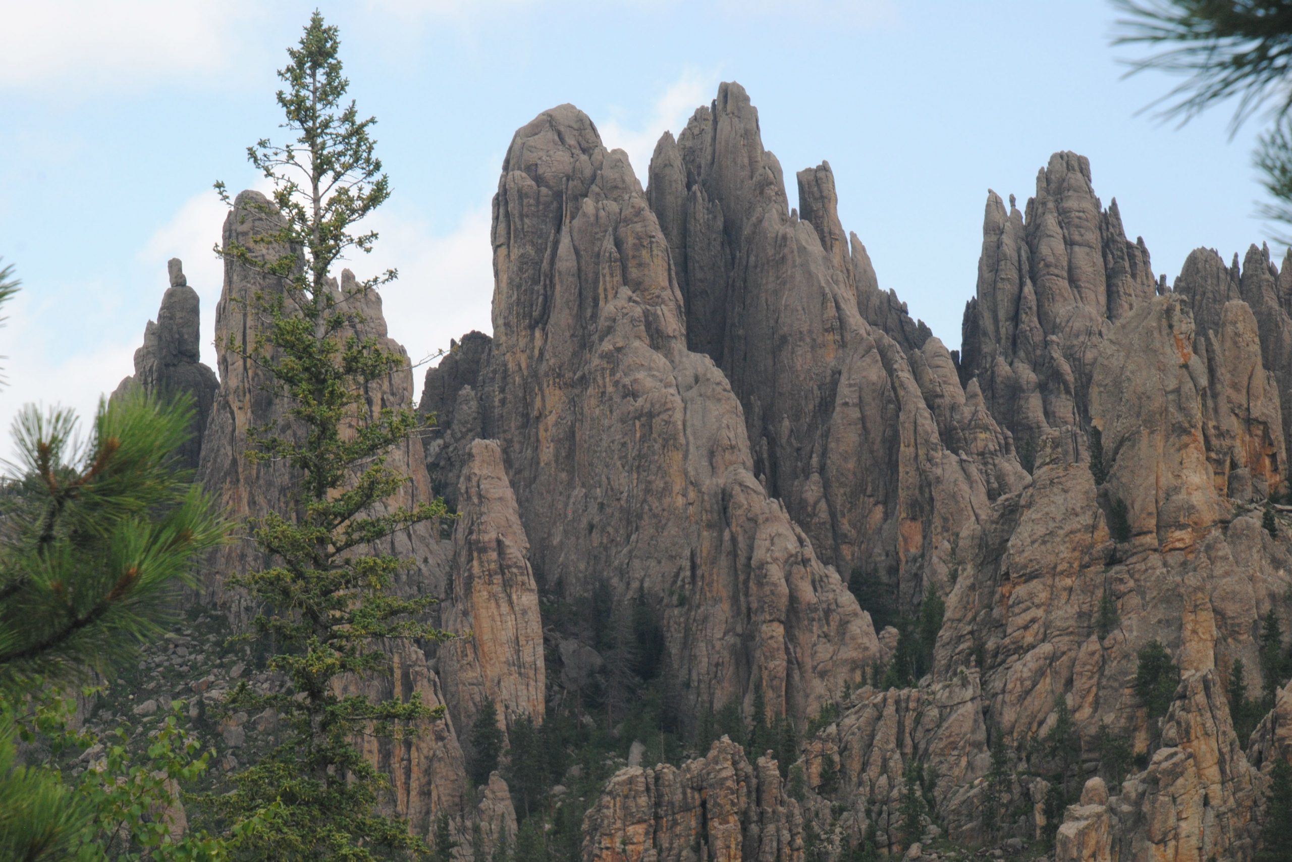
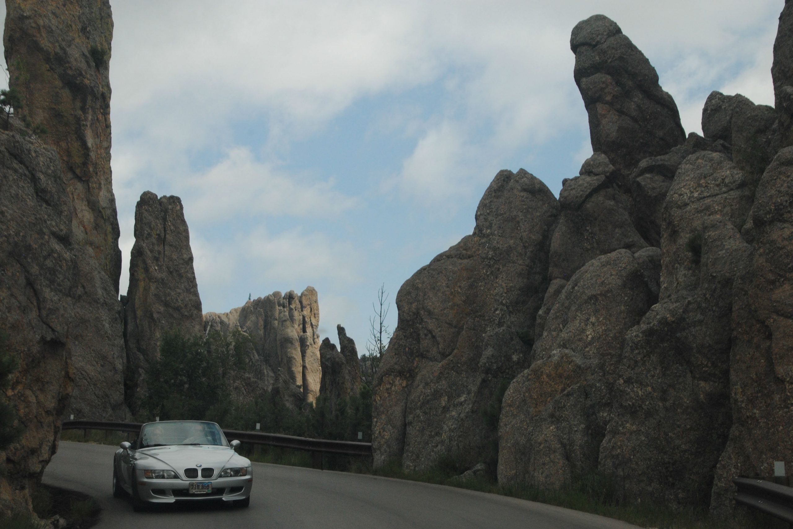
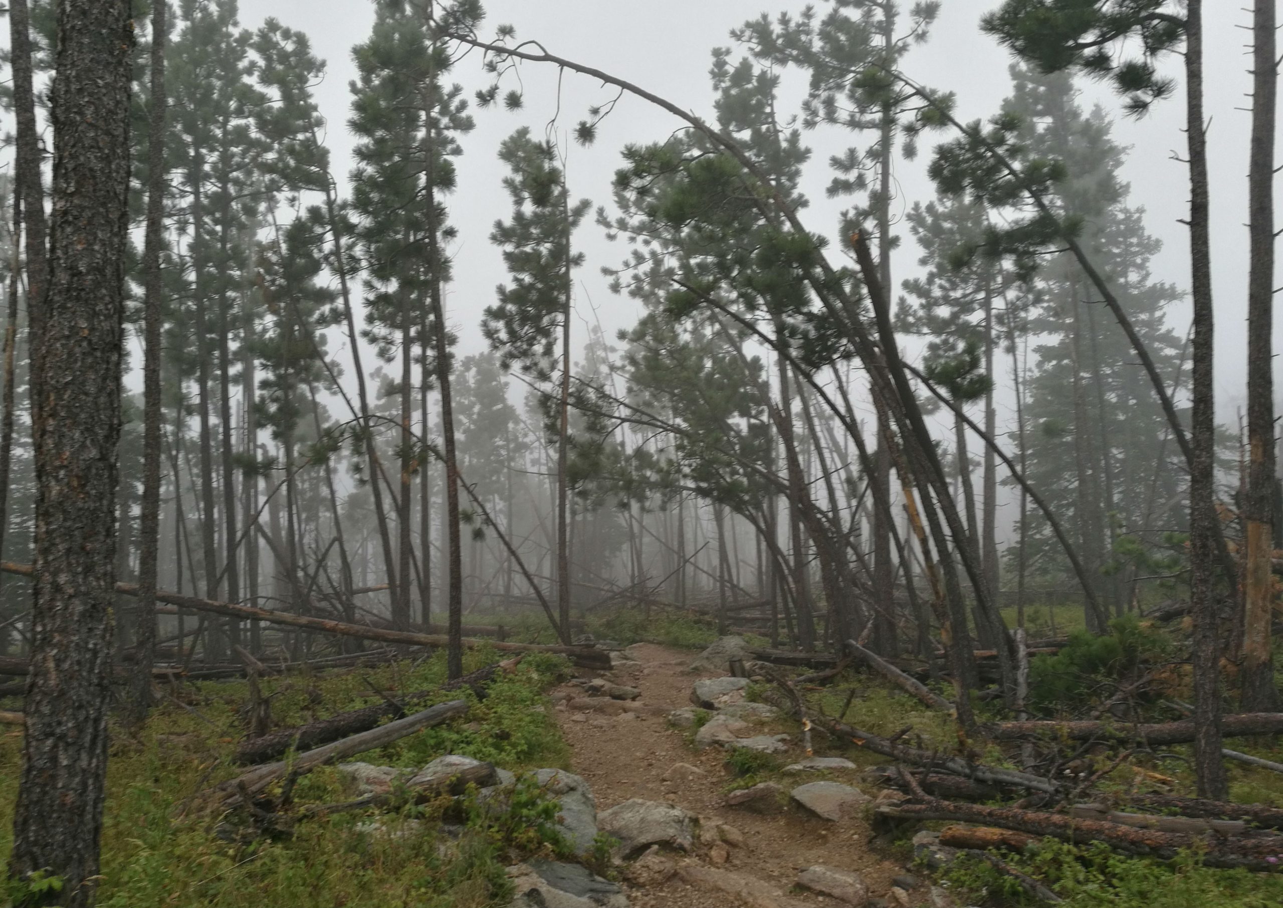
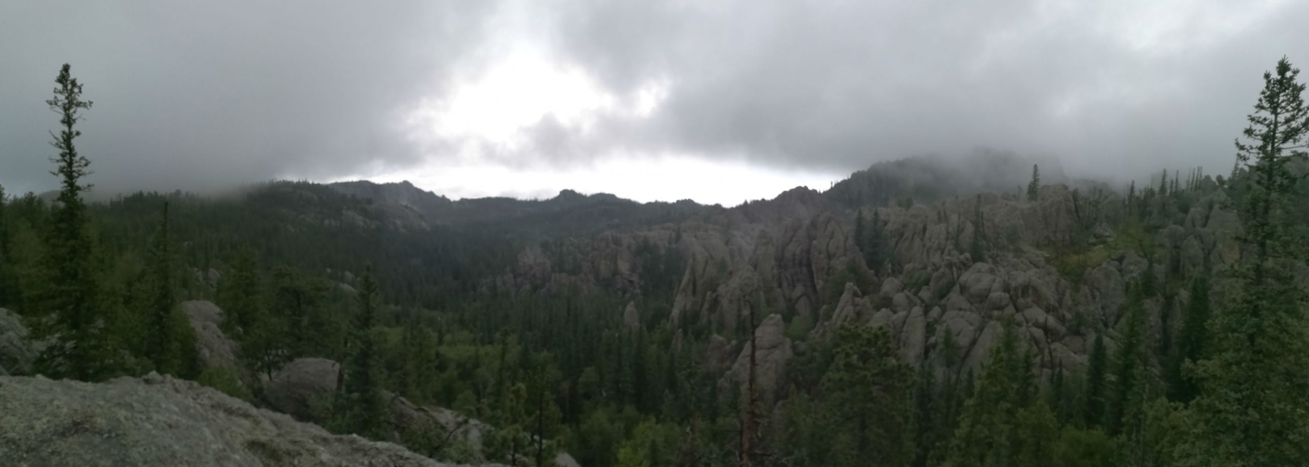
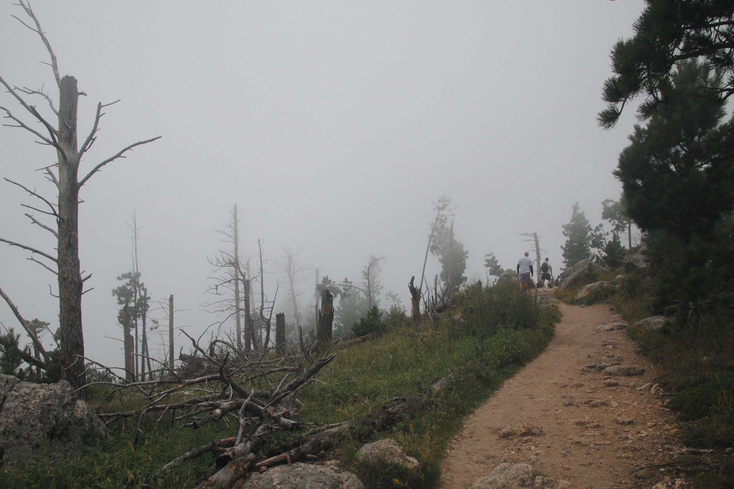
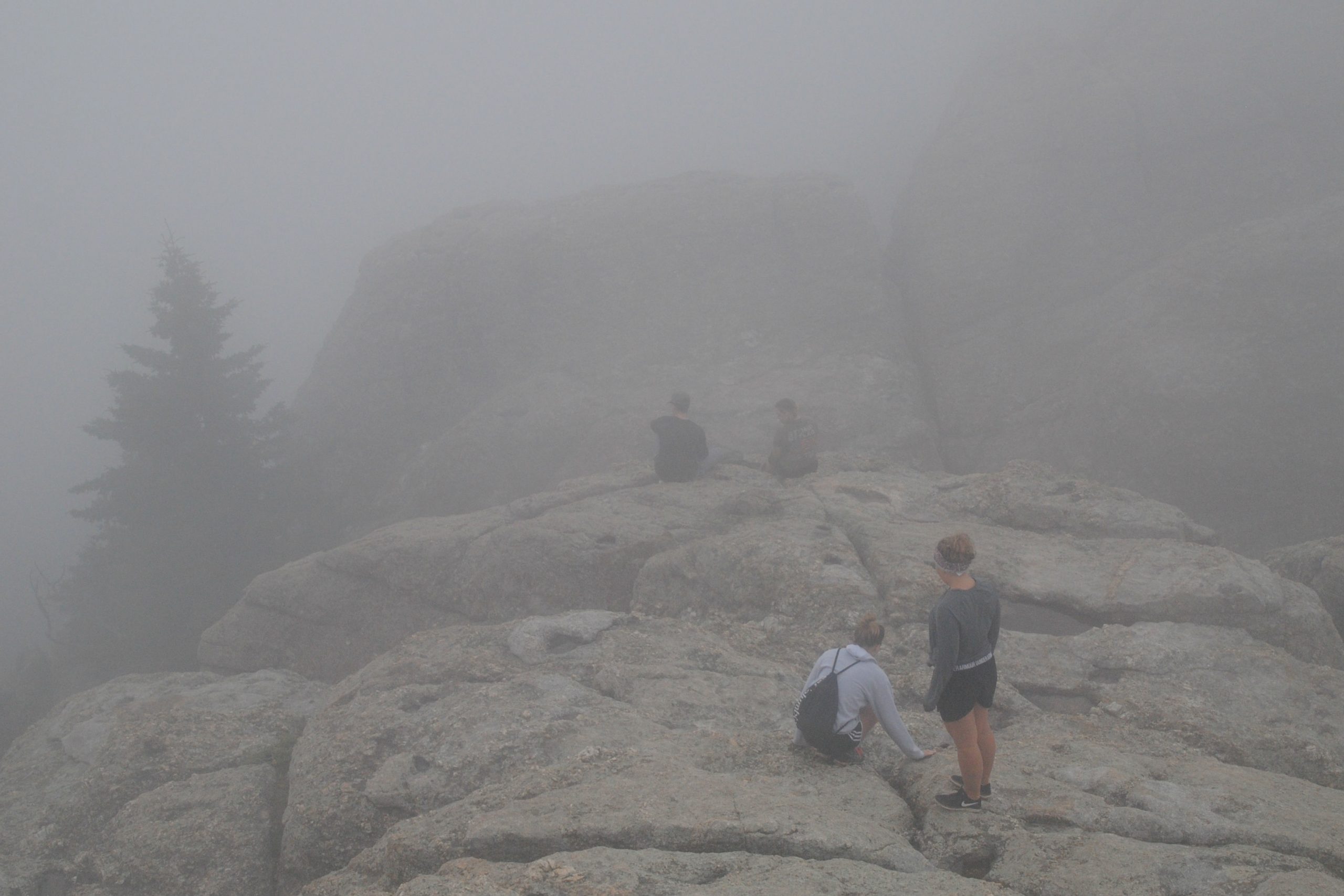
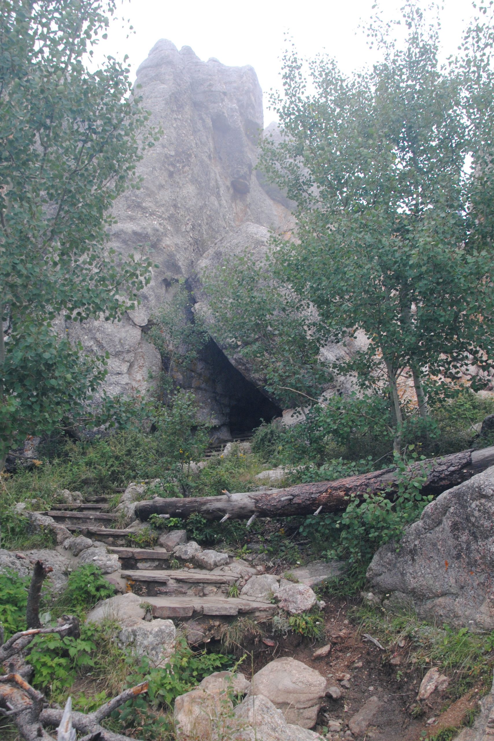
One of the aforementioned peaks is Black Elk Peak, and I’d travelled out to Sylvan Lake to hike to the peak. Black Elk Peak is named after a famous Oglala-Lakota Medicine Man, and is the highest peak west of the Rocky Mountains, standing at 7242 feet. The CCC built a stone fire tower at the peak in the late 1930’s, and from here, it’s said that on a good day you can see four states, several SD cities, the back side of Mt. Rushmore and Badlands National Park. Unfortunately, I didn’t see any of the above. As I hiked towards the peak, a storm rolled in, and clouds blanketed the peak. From the fire tower, it was a total white out. Rain followed me all the way back to the parking lot, and soggy, and a little less than satisfied, I jumped in the car and headed back down the Needles Highway to camp. The Black Hills just weren’t playing ball with me.

IRON MOUNTAIN HIGHWAY
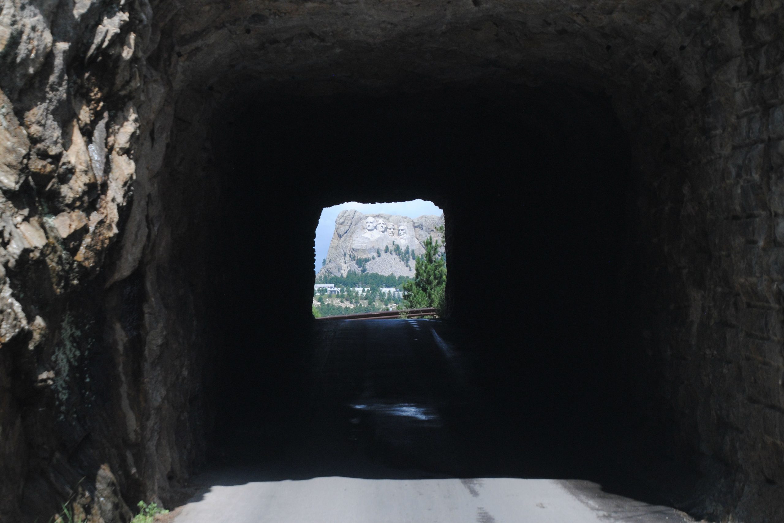
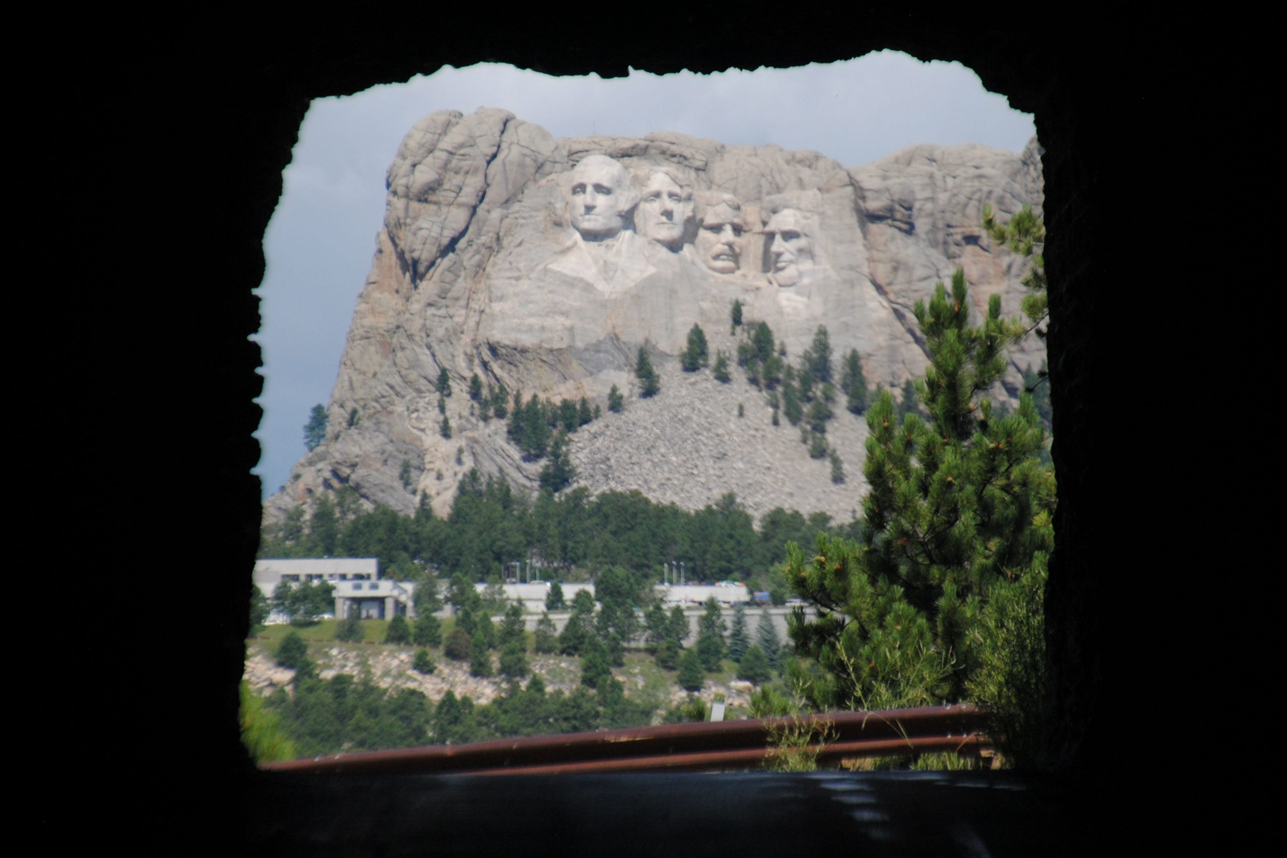
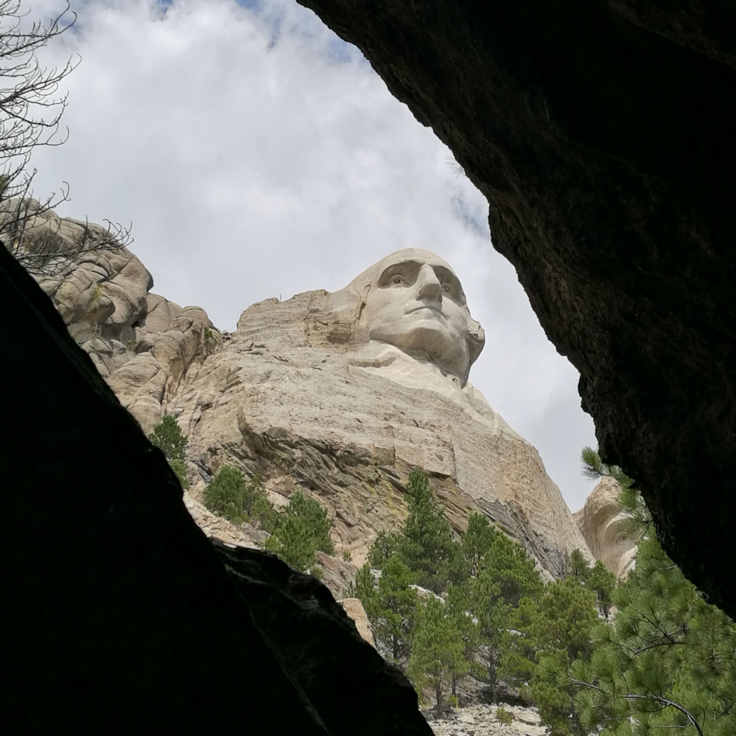
Peter Norbeck was also responsible for the masterminding of the Iron Mountain Highway. He designed two tunnels though the mountains to frame the views of the newly emerging faces of the ex presidents of Mt Rushmore. His engineer was charged with joining the tunnels on some incredibly challenging terrain, similar to that of the granite peaks of the Needles Highway.
The Iron Mountain Highway required a huge amount of dynamite, and the engineer constructed ‘pigtail bridges’ which still stand today to complete the Highway and join Custer State Park with the Mount Rushmore National Memorial.
This road was also a little nail biting, with three tunnels, none more than 9.7ft high and 12 ft wide, and all one lane, often right on a turn, requiring the driver to be head on to the tunnel before determining whether another car was already coming in the other direction.
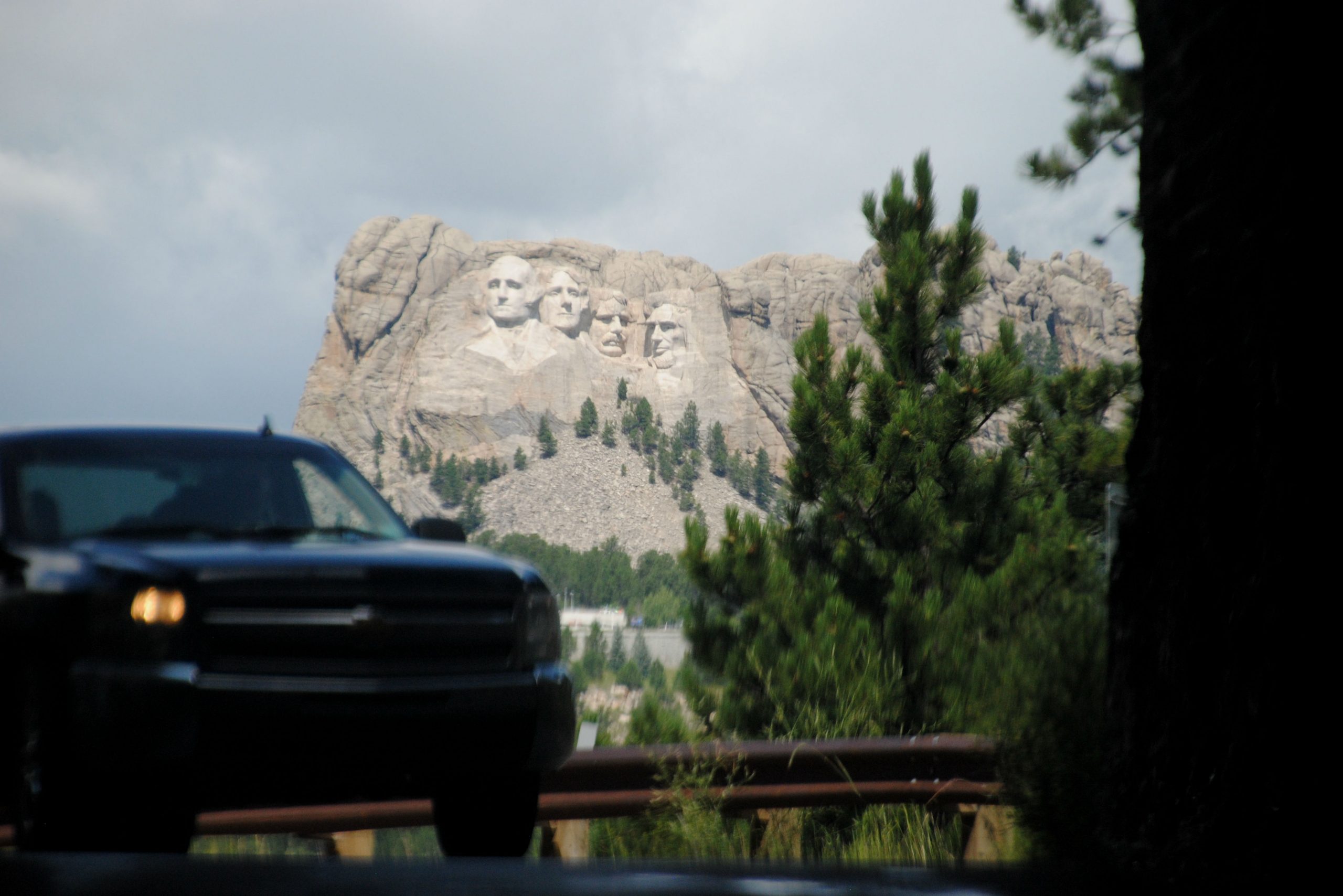
Having said all that, the views of Mount Rushmore as you exited the two tunnels were stunning, and I couldn’t think of a better way to arrive to the memorial.
MOUNT RUSHMORE
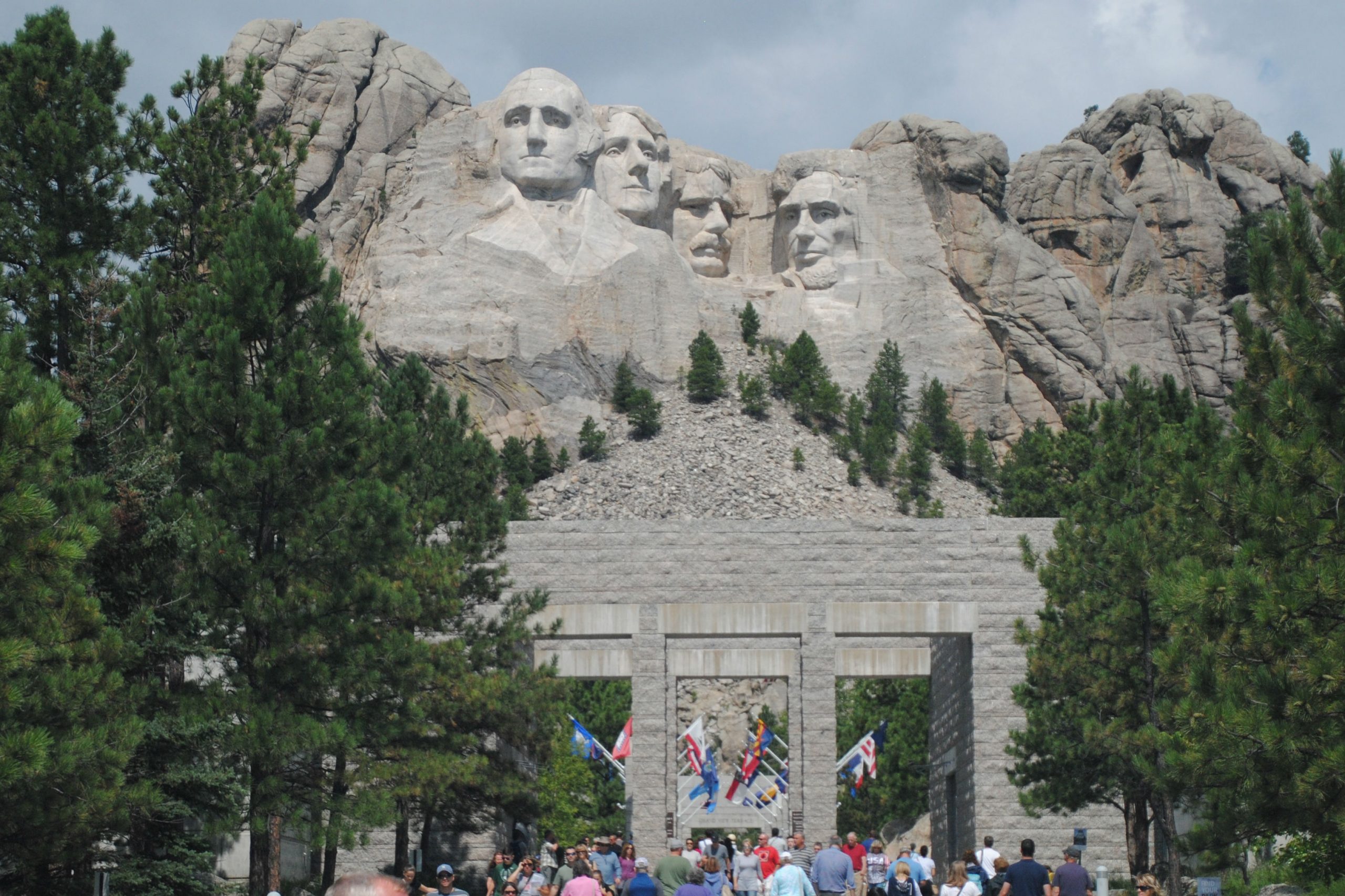
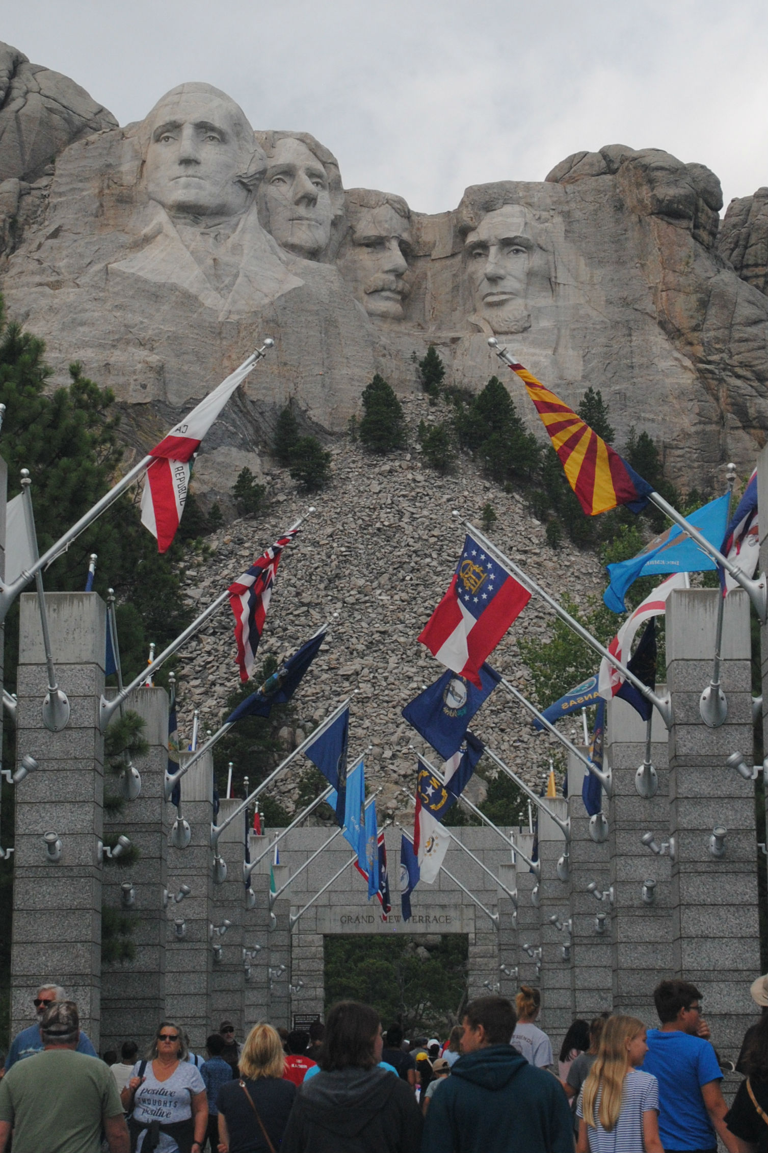
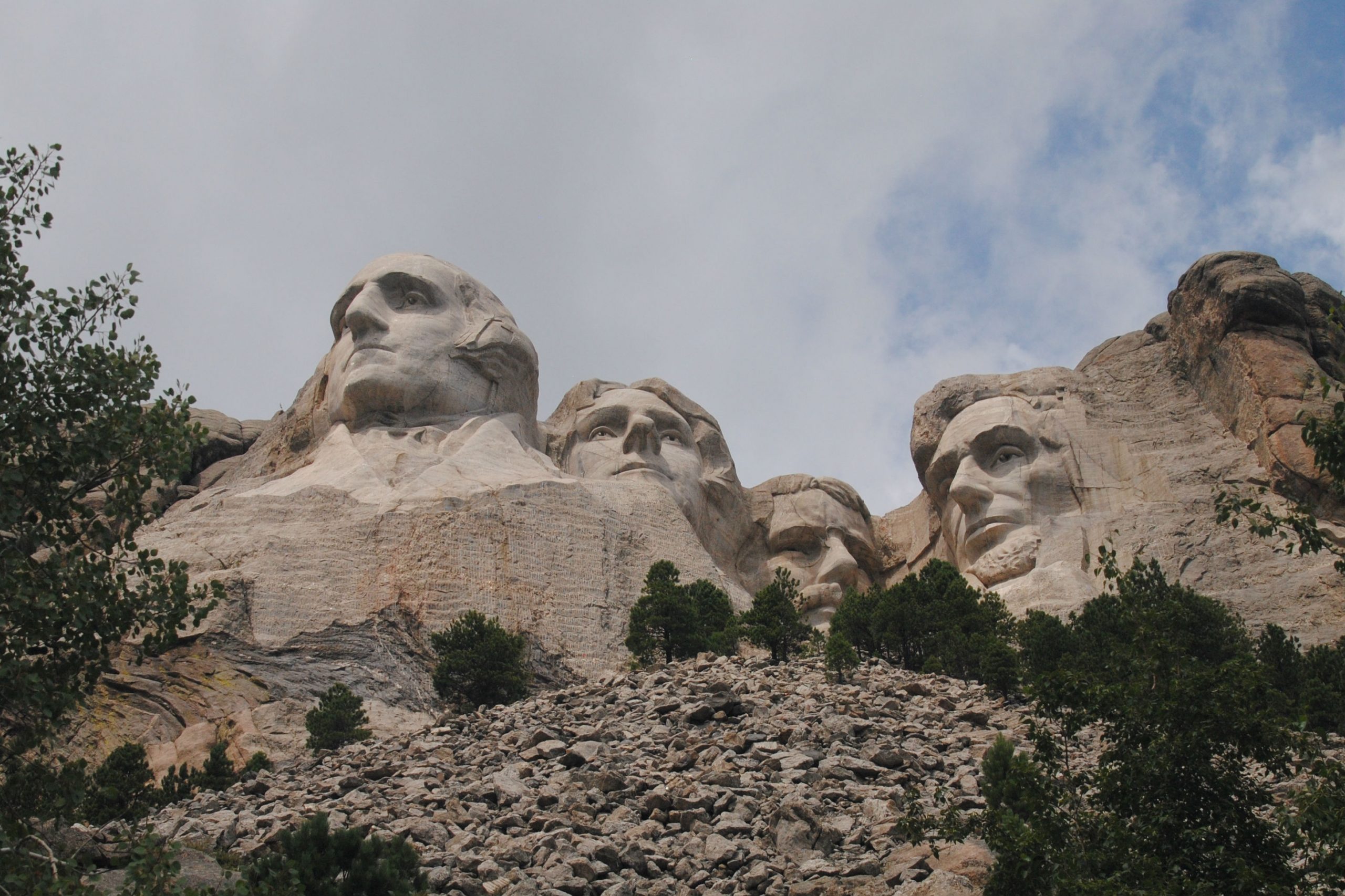
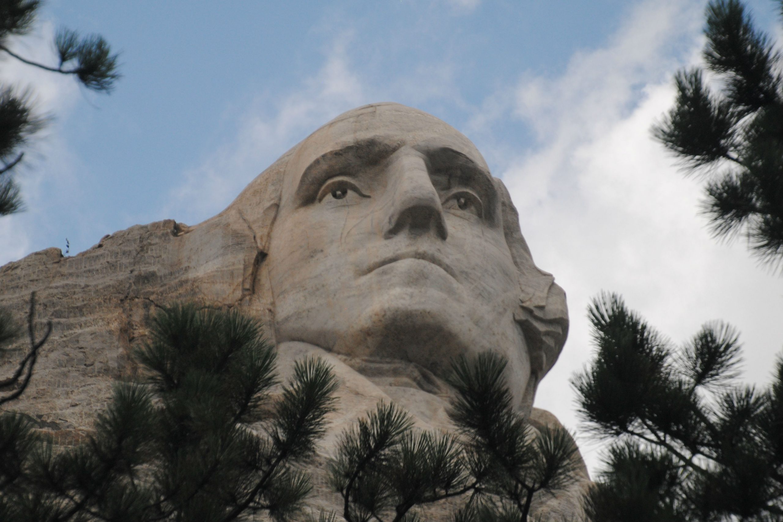
Mount Rushmore was the brainchild of Doane Robinson, who engaged Gutzom Borglum, to carve the faces of four presidents, Washington, Jefferson, Roosevelt, and Lincoln into the granite hillside of Mount Rushmore. Borglum began carving in 1927, and over a period of 14 years the memorial was completed. Unfortunately, Borglum passed away in early 1941, and his son oversaw the carving until completion of the project in October 1941.
Around 400 labourers worked on the project, being paid between 35c – $1.50 per hour at the time. There were very few injuries, and no deaths during construction, remarkable, considering at that around 450,000 tonnes of rock was blasted from the mountain.
The presidents still stand sentinel over the Black Hills to this day – welcoming nearly 3 million visitors per year. The memorial was impressive to me, as an incredible engineering and sculptural achievement. Personally, I can’t help but be impressed with the ability of the artists and labourers to complete the detailed work on a project of such scale at a time when infrastructure was nowhere near what it was today.
SPEARFISH CANYON
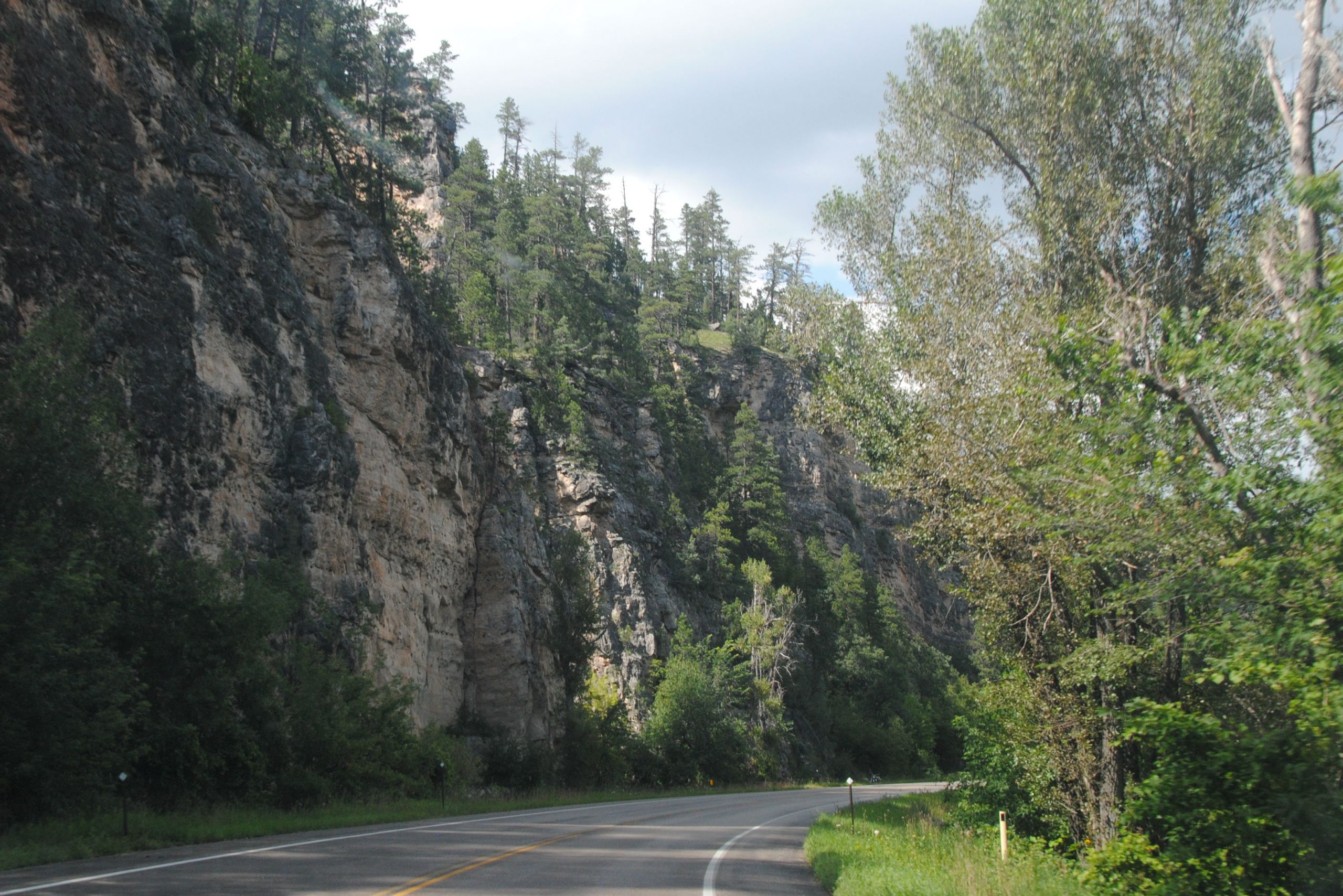
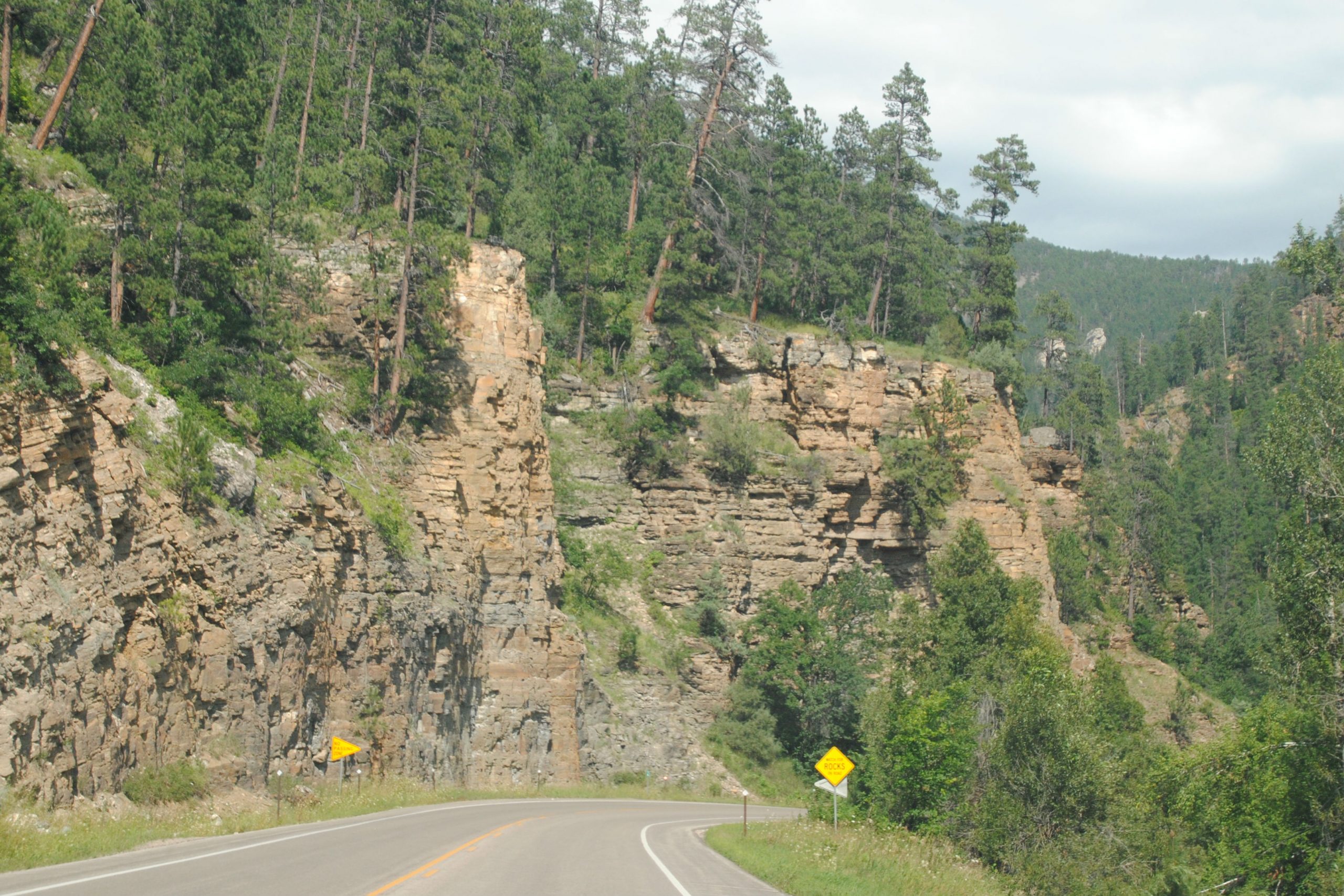
Spearfish Canyon is a short, 22 Mile scenic byway though the Northern Black Hills in South Dakota. In direct contrast to the other scenic byways that I’d travelled in the Black Hills, this one travelled through the canyon floor.
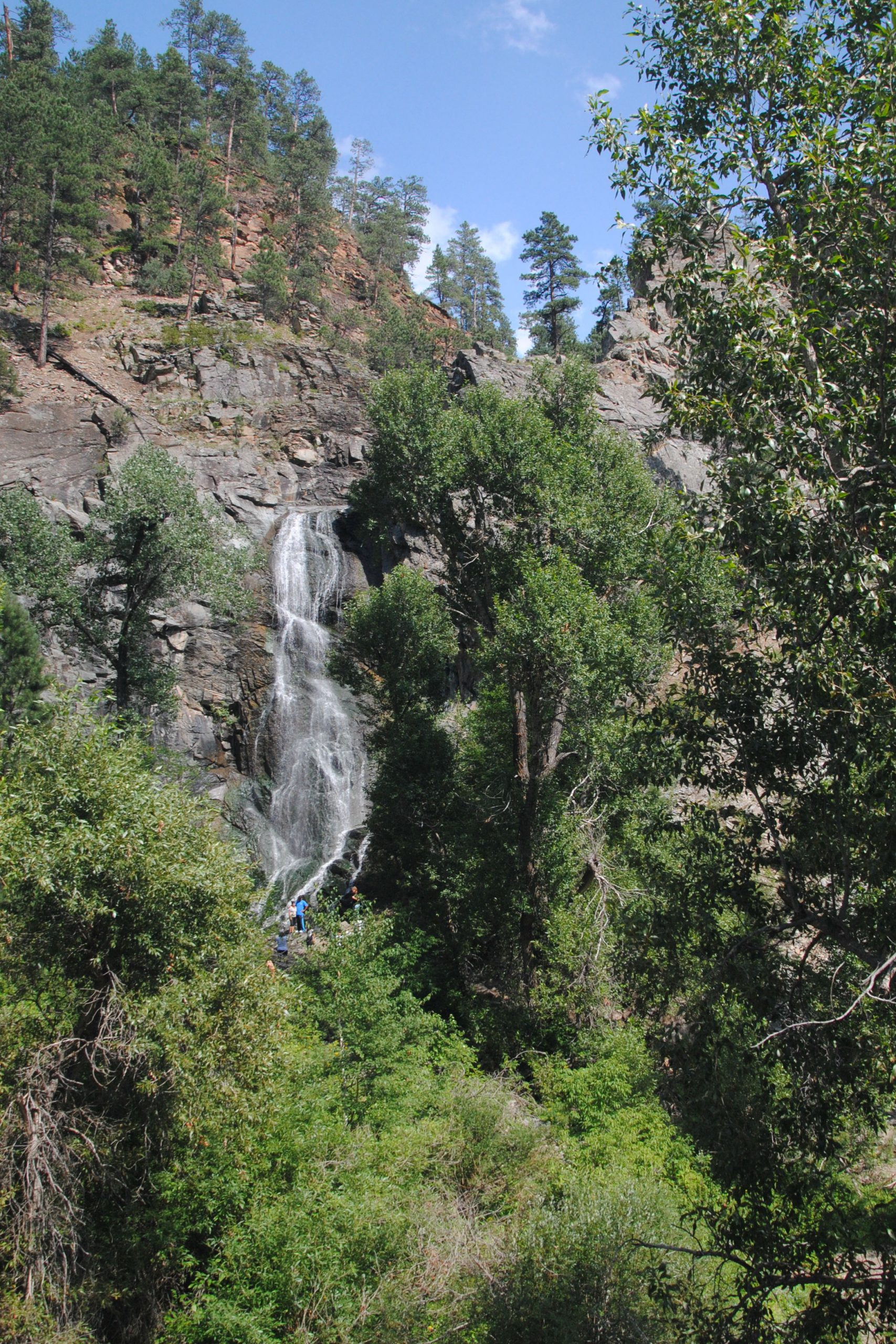
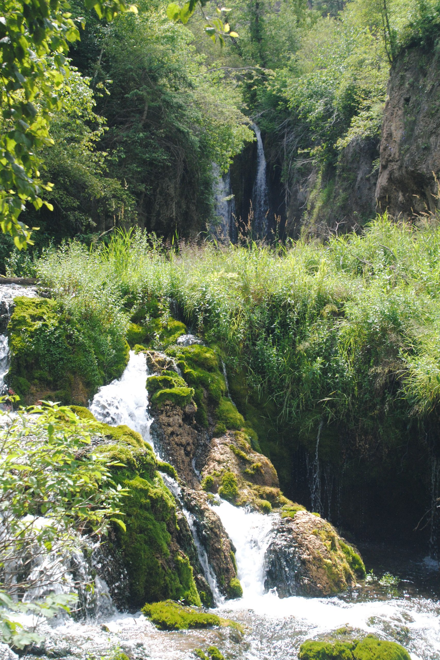
From there, I entered the canyon, and drove north through the towering canyon walls. It was getting late in the day, so I didn’t have the opportunity to stop off at many of the sights along the way, but I did make a couple of short stops. Firstly, at the mouth of the canyon, I took a short hike to Roughlock Falls, hidden up a shaded trail that followed the creek downstream from the falls. Then half way up the canyon, I stopped at Bridal Veil Falls, which just happened to be located right off the road.
The Spearfish River ran along the canyon floor, and it’s banks and upper hills were host to many homes and lodges. Interestingly, many, if not most of these were for sale. I can’t imagine that this, or any of the Black Hills areas that I visited would be easy places to live in winter, but it was still curious to see so many of these homes for sale all at the same time.
DEVILS TOWER, WY
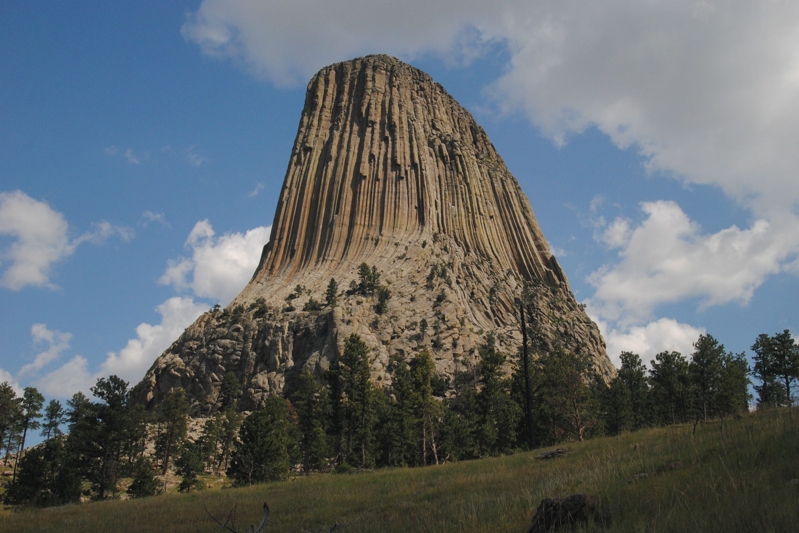
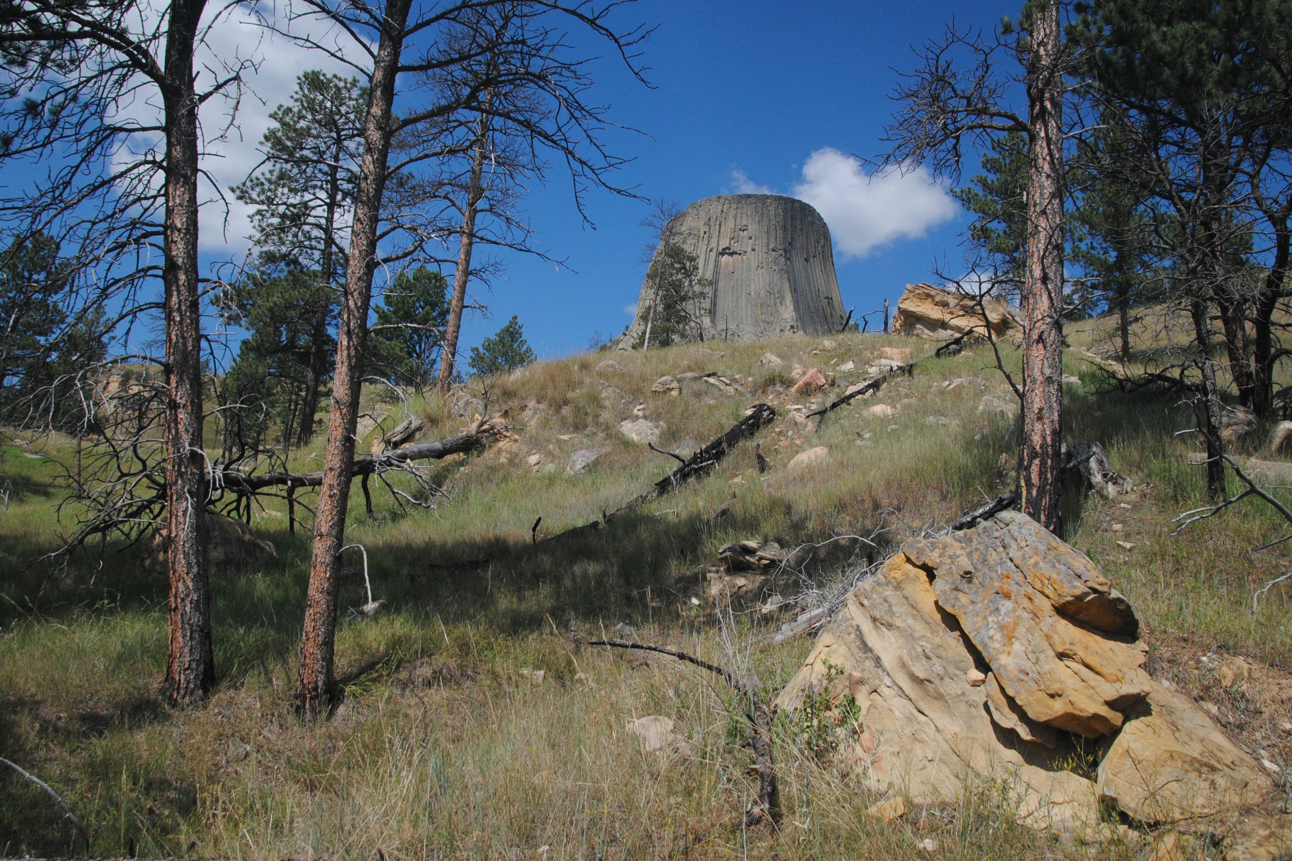
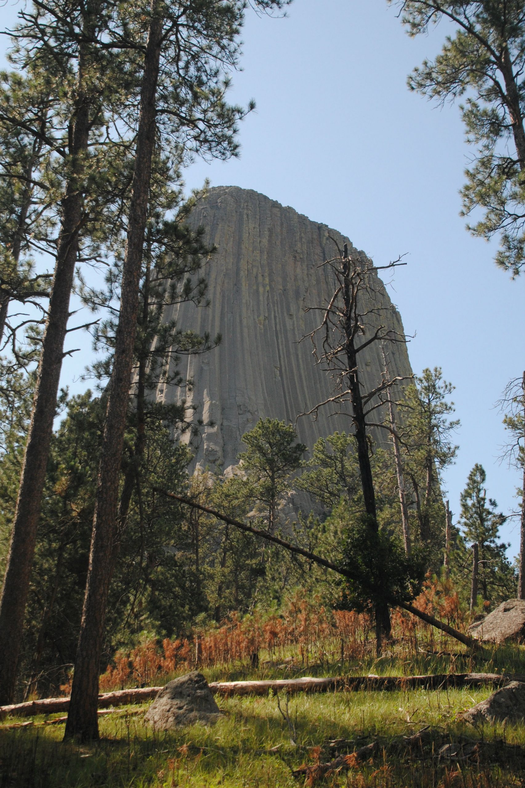
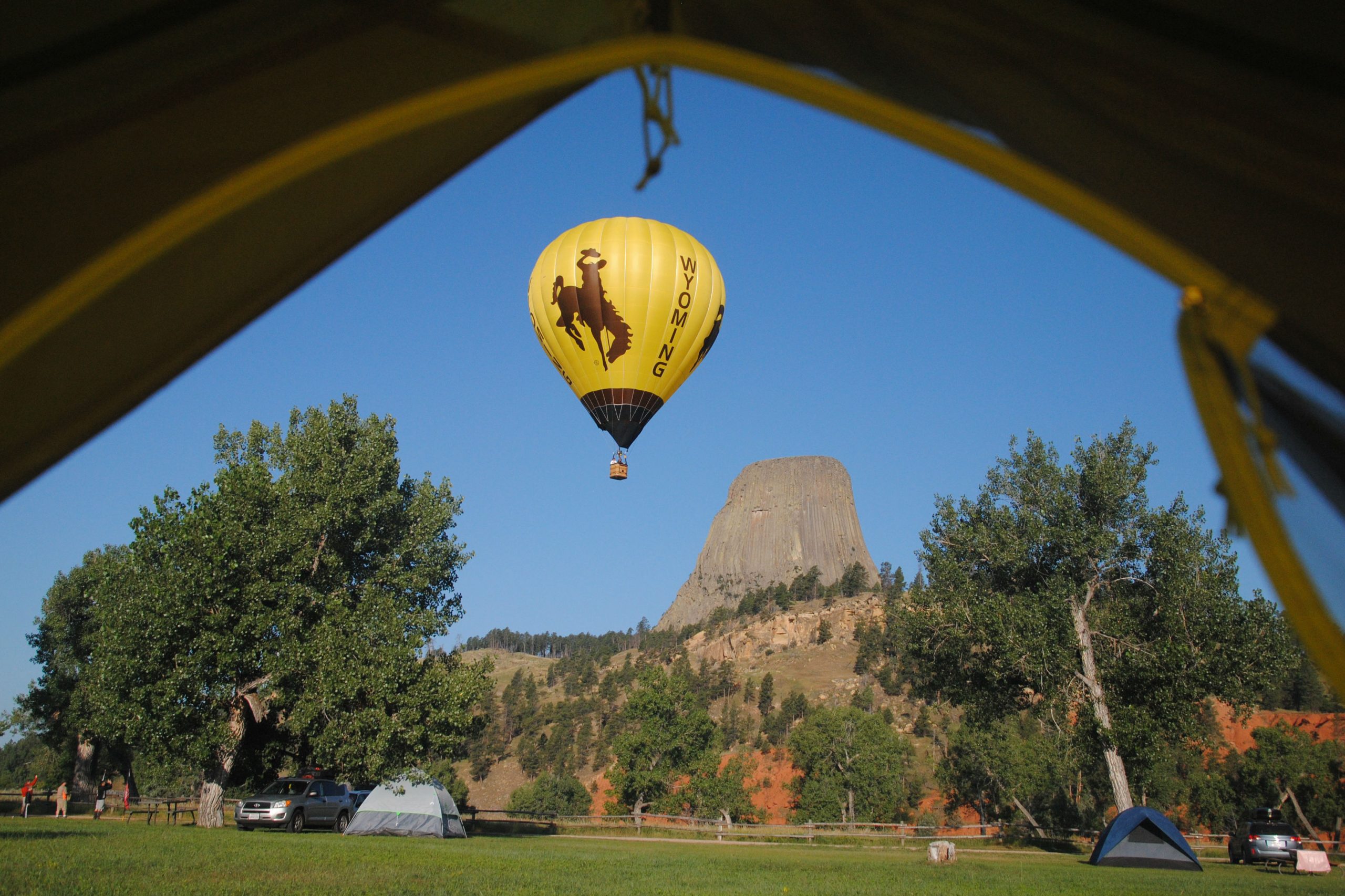
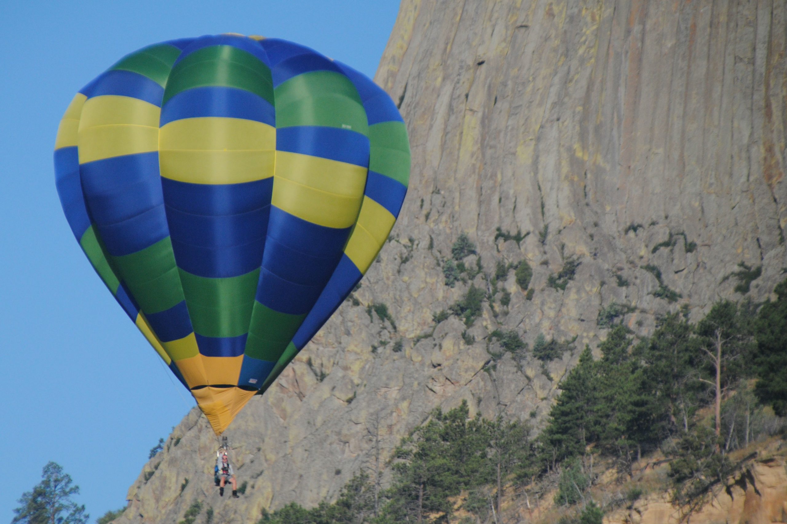
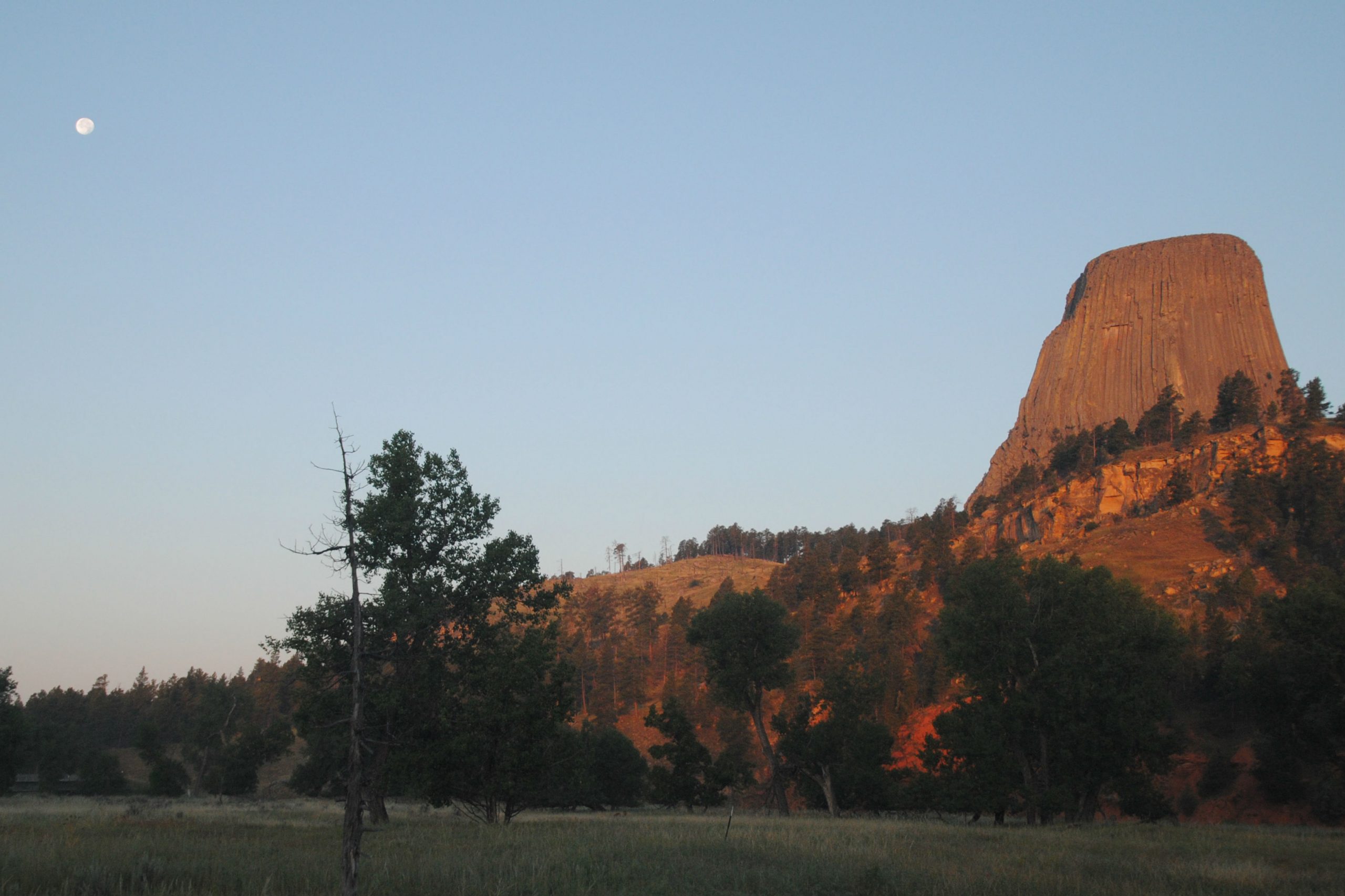
Devils Tower is a unique rock formation in north eastern Wyoming. Geologists can’t quite agree on how the monument was formed, but suggest that magma pushed up through sedimentary rock layers, which eventually eroded to reveal the tower as it is today. In 1906, the Tower was proclaimed as the first national monument in the USA, by President Theodore Roosevelt. In the 30’s, the CCC built the roads, infrastructure and trails that visitors to the Tower use today.
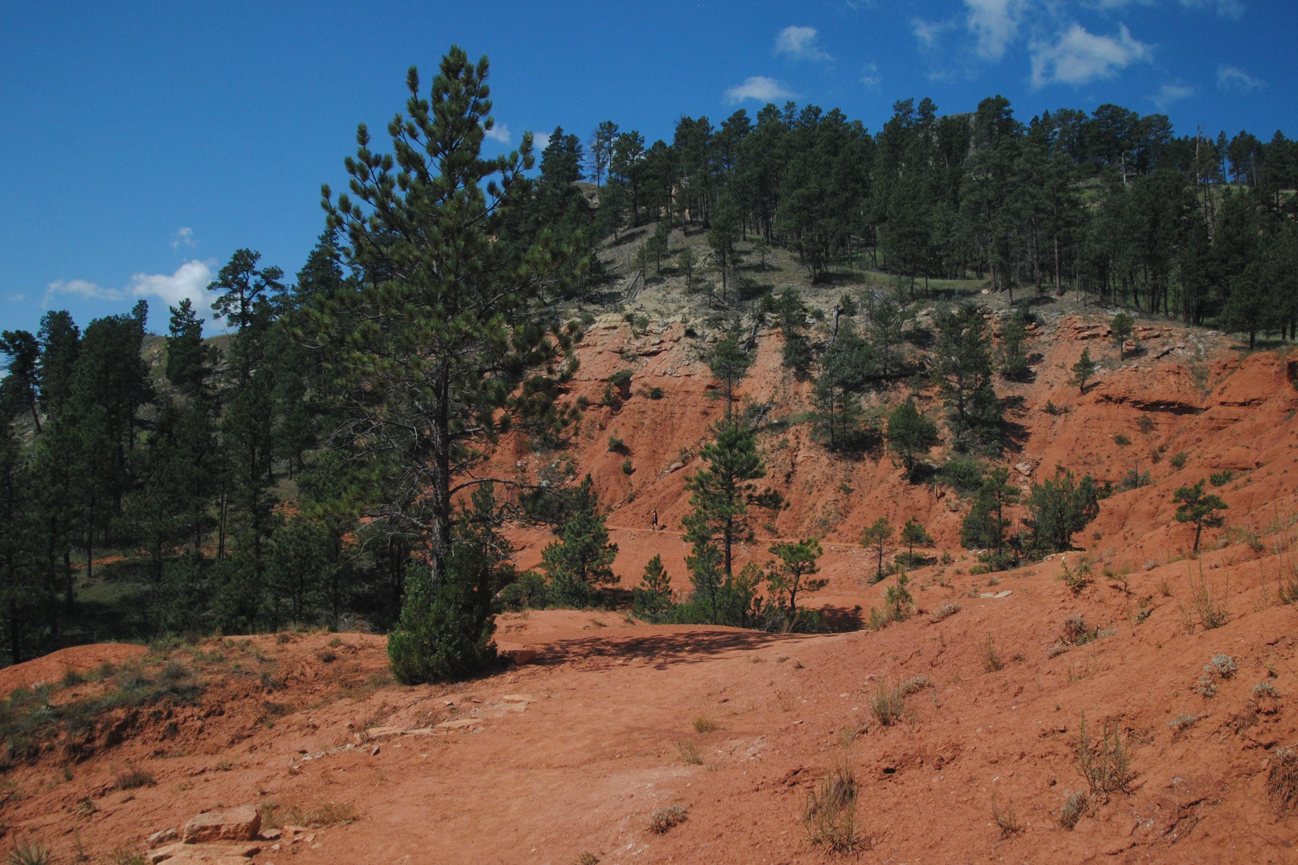
I explored one of these trails – the Red Bed’s Trail – approximately 3 miles long, looping around the base of the tower. The trail passes through pine forest, open prairie and red cliffs, overlooking the Belle Fourche River on the southern side of the monument. The views of the tower ebb and flow around this trail – at one moment, you can see the tower peeking out above the pine trees, next moment, it’s completely obscured by rock formations at its base. From the southern part of the trail, tiny orange specks on the rock indicated that this was also a popular rock climbing location. Although slightly longer than the Tower Trail which passes much closer to the base of the tower, the Red Beds Trail was the perfect way to experience the Tower and it’s surrounding environments without being overwhelmed by the hundreds of other visitors that were turning up by the minute!
CODY – RED CANYON WILD MUSTANG TOUR
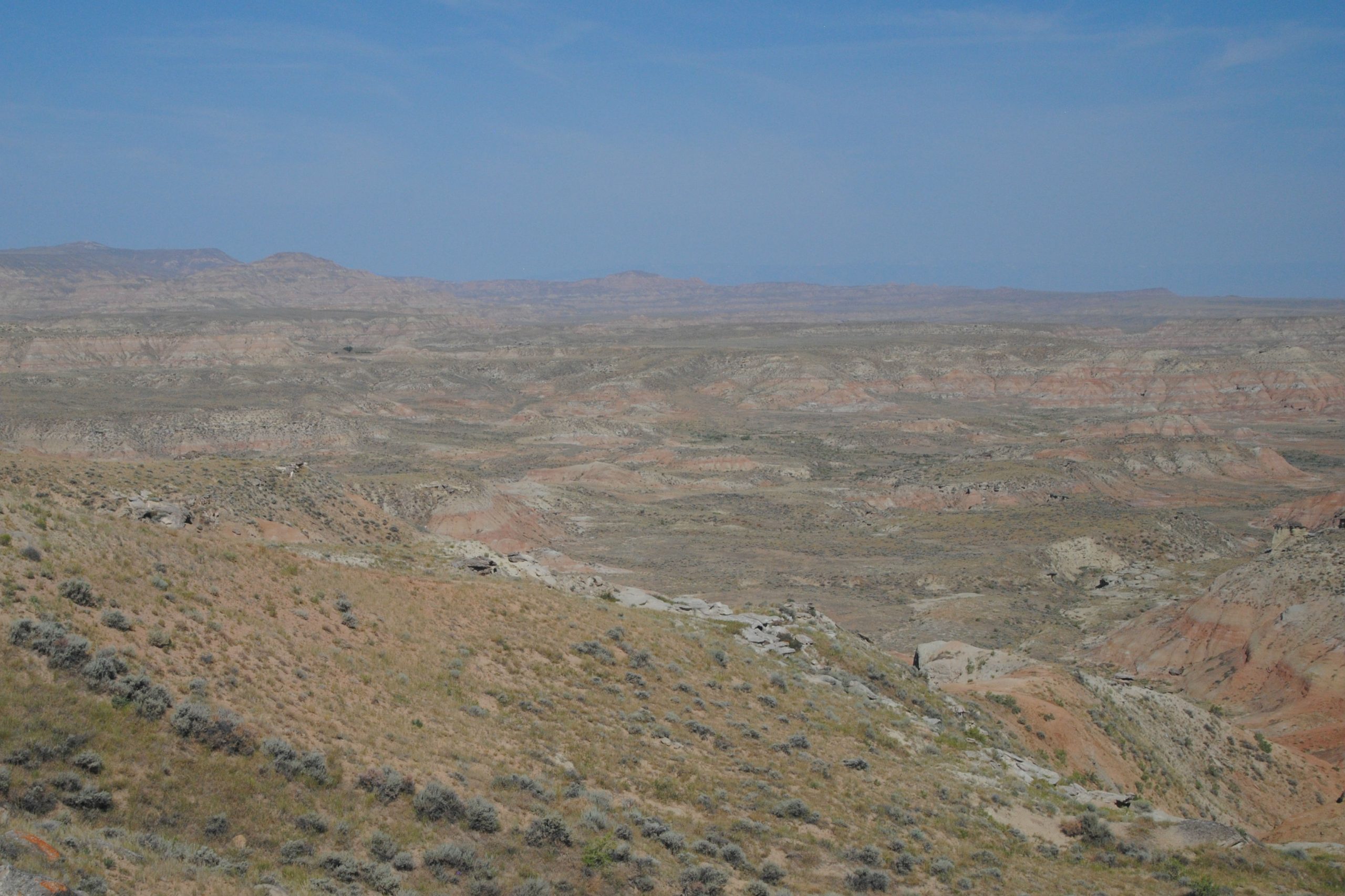
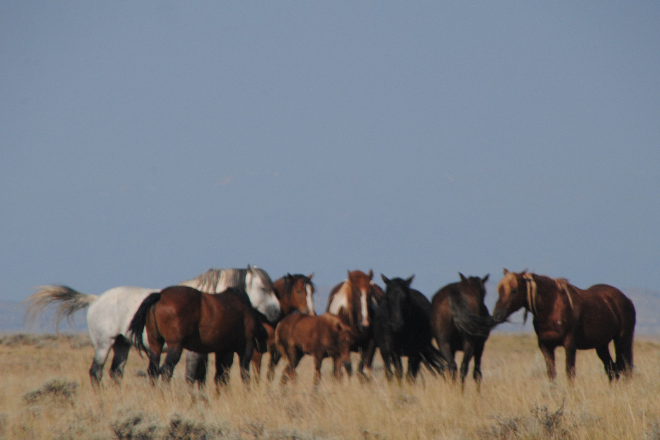
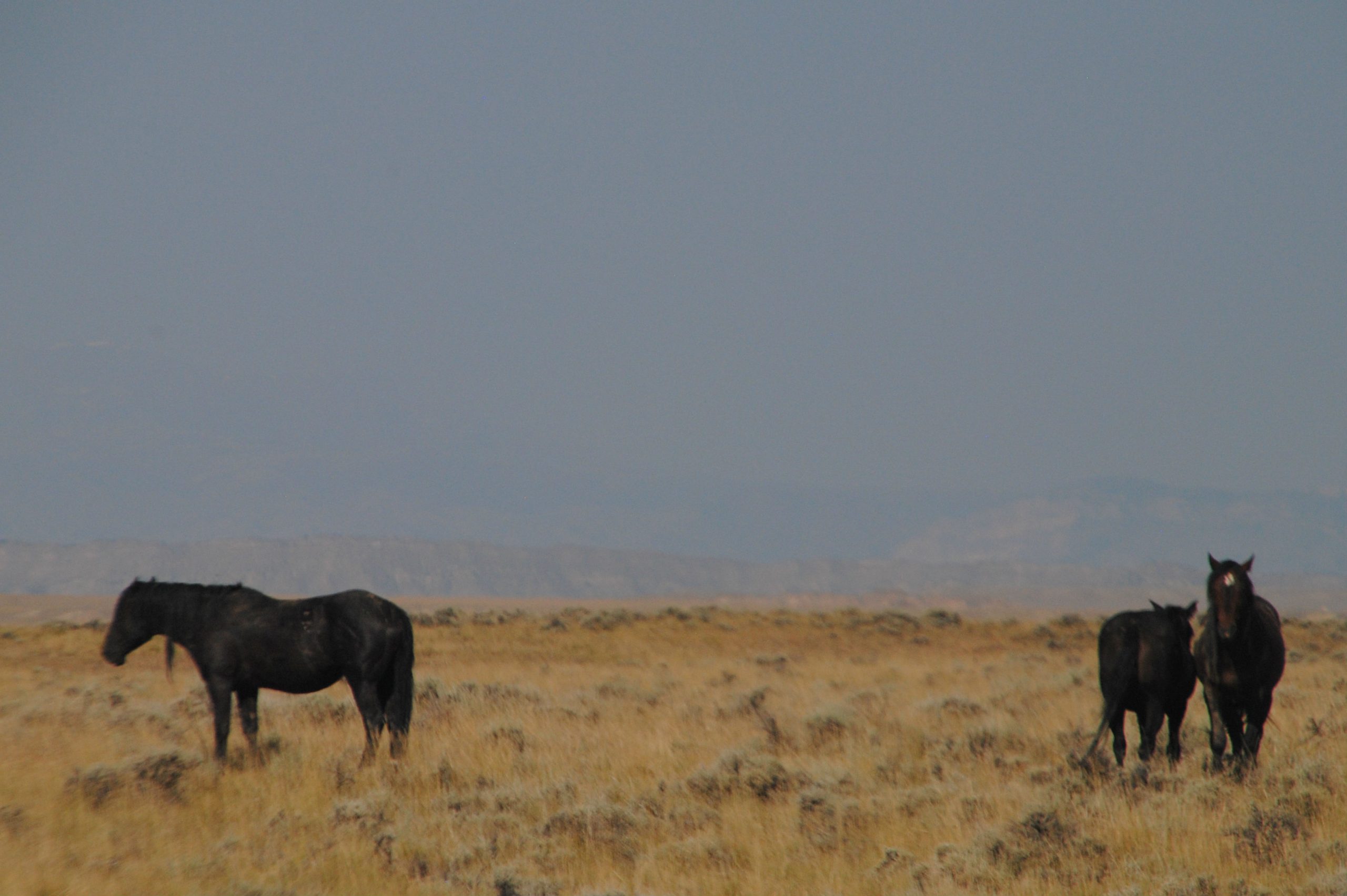
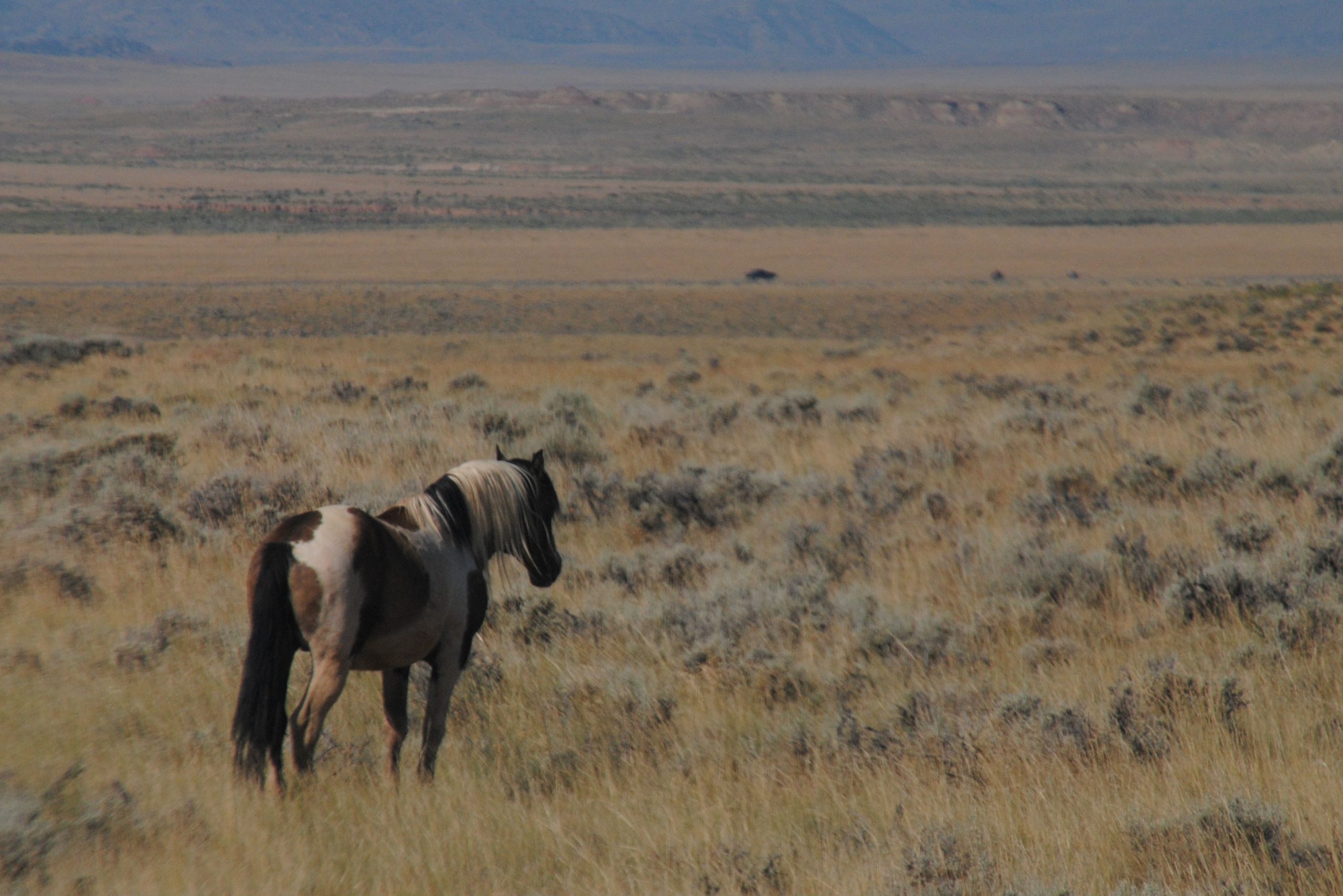
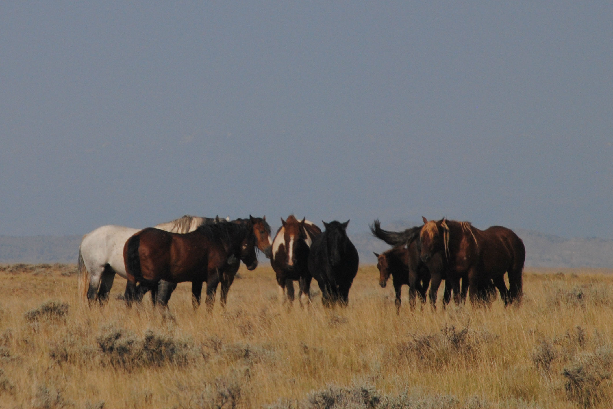
McCullough Peaks Wild Horse Herd Management Area is a 100,000 acre parcel of land, just East of Cody, WY. Managed by the BLM, this area is home to a band of wild mustangs, Genetic testing has indicated that the horses are of mixed breed, and could point to them being descendants of Buffalo Bill Cody’s equines!
On the tour, I was lucky enough to see one small herd of mustangs, and was able to get within 300ft of them. They all seemed well fed and rested, and looked to be in fabulous condition. The herd is totally managed by the BLM, with no human intervention other than the provision of some permanent watering holes, provided by volunteer donations to the Friends of a Legacy group in Cody.
Next Up: Yellowstone National Park

Hi Tori , Mum and I are loving your blogs and especially your photos ; we feel as though we are travelling along with you . I couldn’t help notice the contrast in colours in the area of Black Hills in comparison with some of the areas earlier in your trip . The area of Black Hills reminded me of the colouring I saw in the volcanic area of Hawaii’s Big Island when I was there in January.
We particularly like the shots of Mt Rushmore through the tunnel and that makes us want to go there and see that spectacular sight .
Love from Mum & Dad .
Quite spectacular Tori. Loving the blog and envious of your travels. Keep up the great work.