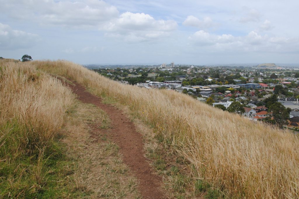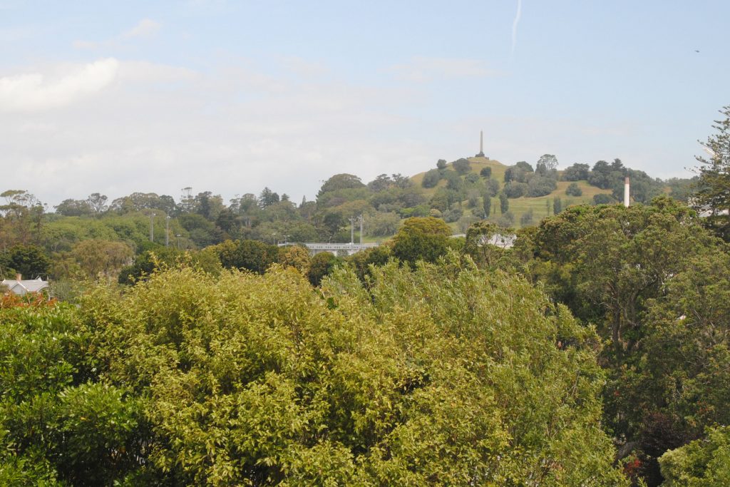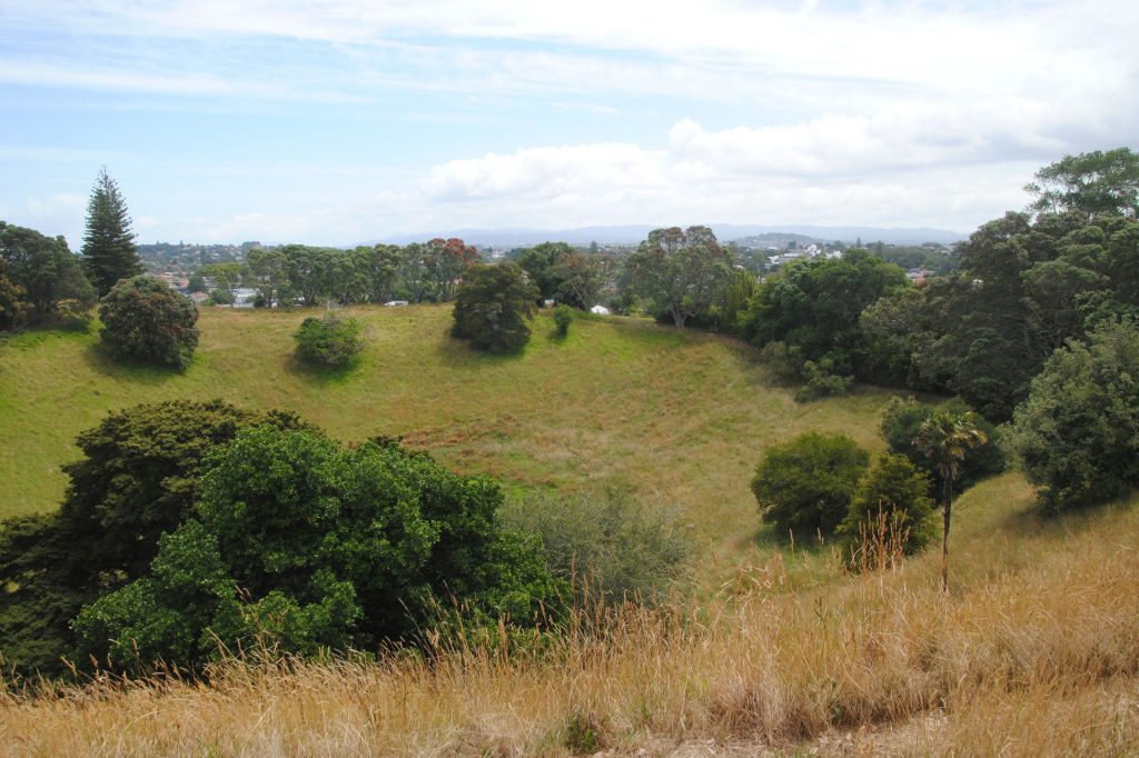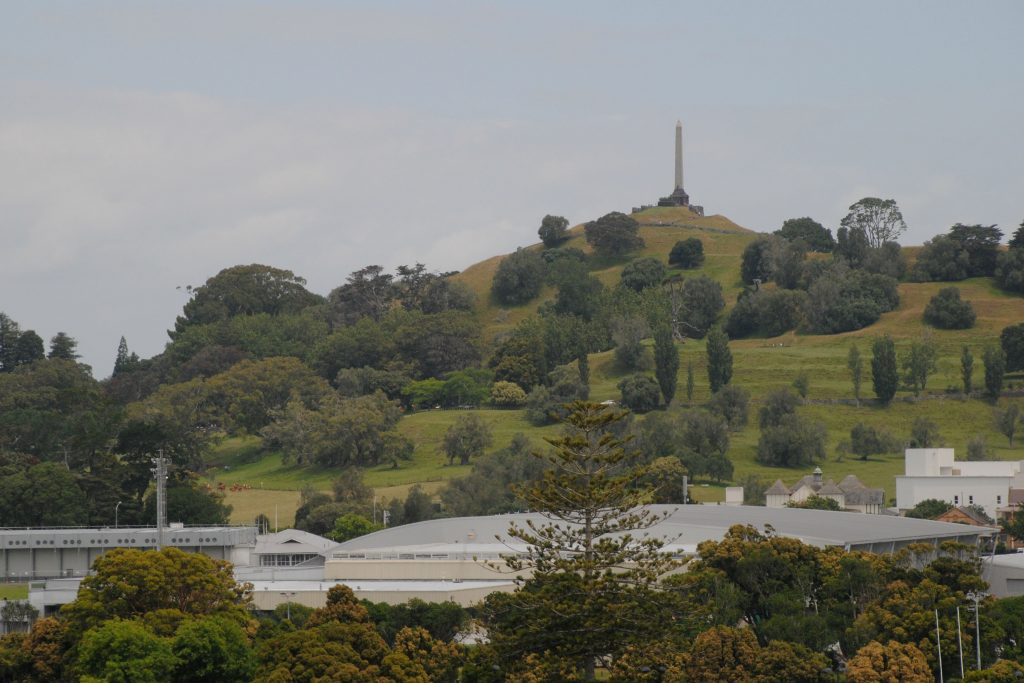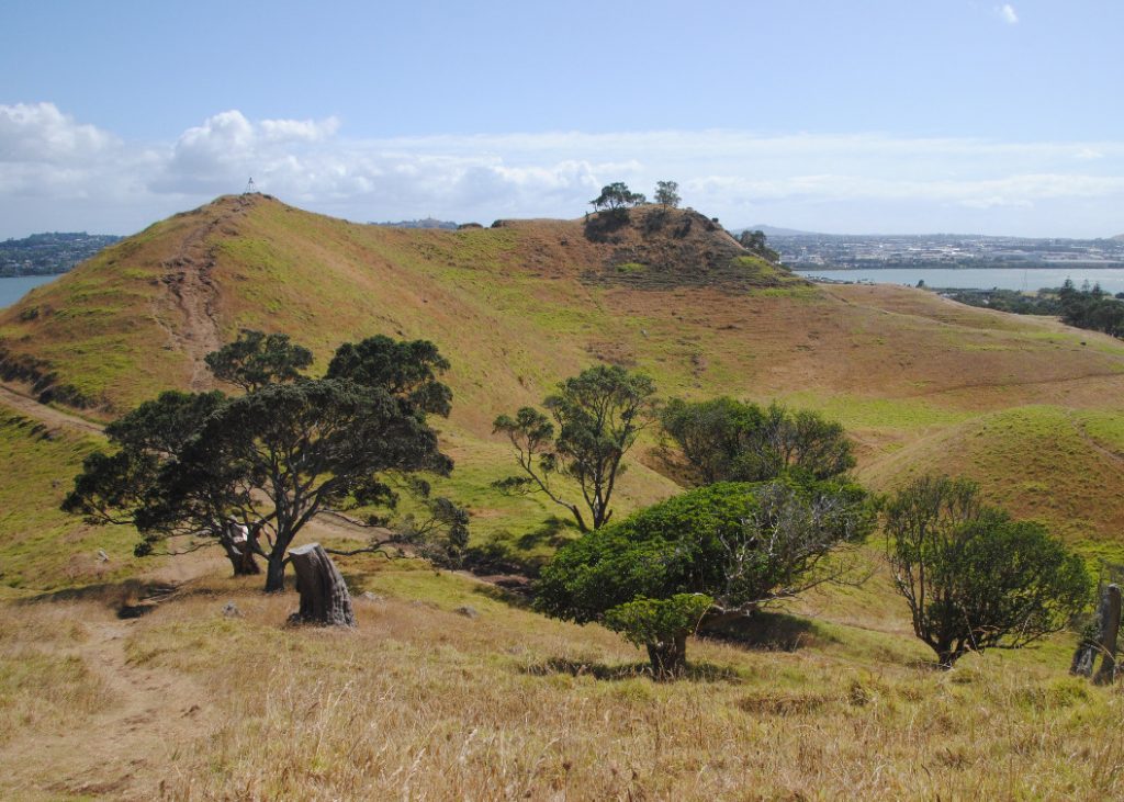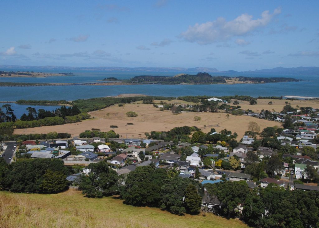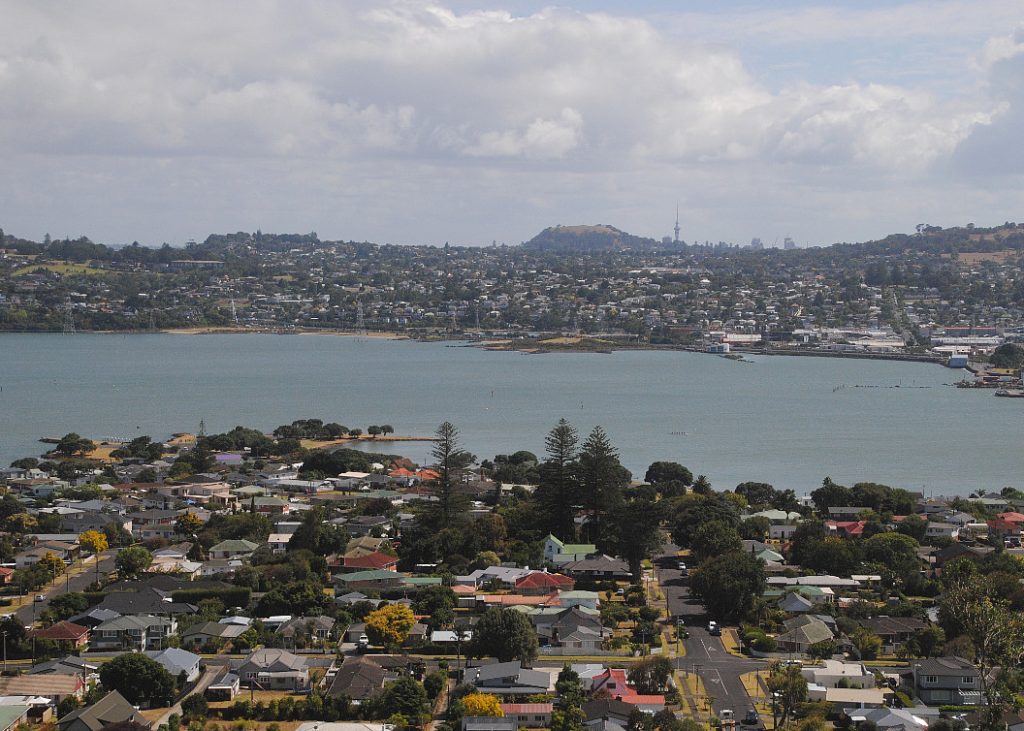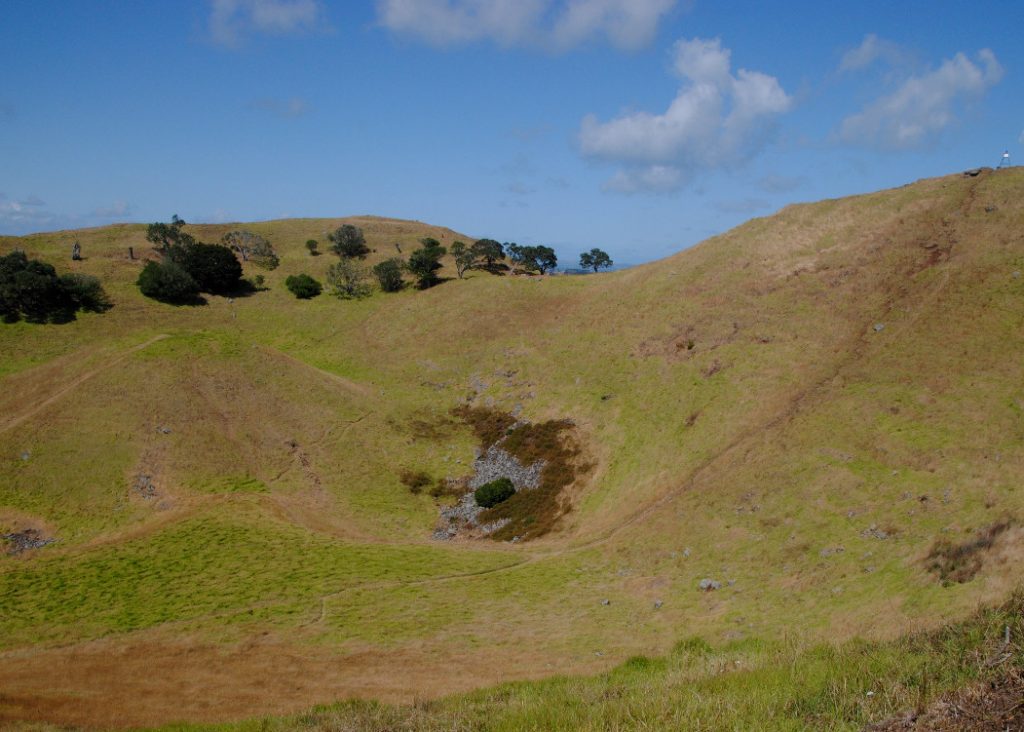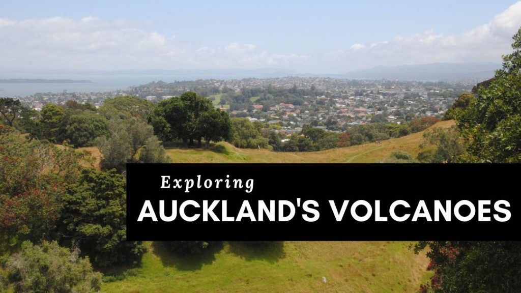
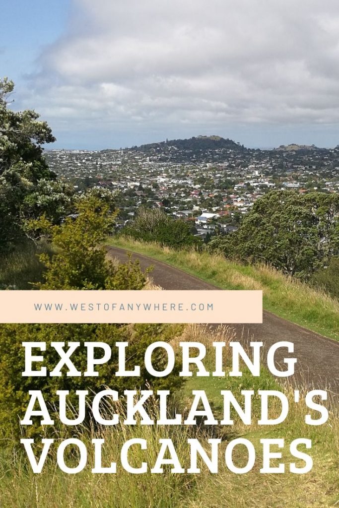
City of Sails? City of Volcanoes more like! There are reportedly 53(ish) dormant volcanoes in the Auckland field, and they are most definitely a conspicuous feature of Auckland’s landscape. I’ve come to know and love these geological landmarks while I’ve been here and I am often found happily spending an afternoon strolling the suburbs and wandering to the summit of any nearby volcanic cones to check out the view.
The Auckland volcanic field is unique in that the volcanoes are quite small, and the total volume of material erupted from all of the volcanoes would only be equal to say one average eruption from Mt. St Helens. The volcanic activity in the Auckland region is monogenetic, meaning that each time an eruption occurs, it is a new location, not a subsequent eruption from an existing volcano, and evolves from a single batch of magma rising from the earth’s mantle. This pattern of activity has implications for the future, because while there’s every reason to expect an eruption in the future, there is no way to determine where and when it might happen.
Having said that there is every reason to expect volcanic eruptions in the future, scientists say it’s unlikely to happen in our generation. So, no worries for now, you can get out and explore! If you’re staying in Auckland for a while, you’ll come to know these volcanic landmarks as I have, and you should definitely get out and explore at least a few of them.
I’ve created list of a few of my favorite Auckland volcanoes, in no particular order. If you don’t have time to read on now, why not pin it here for later!
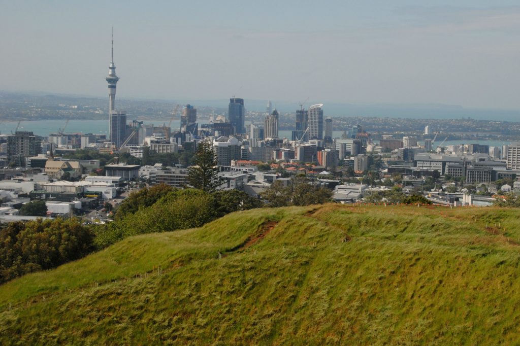
Maungawhau – Mt. Eden
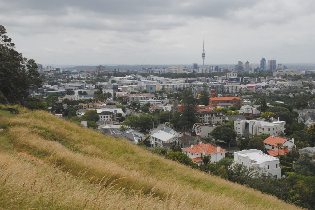
Maungawhau (Mt. Eden) is the highest natural point in Auckland, and one of the most prominent volcanic cones in the Auckland field. It’s bowl like crater is around 50m deep, and from the crater rim, there are some epic views of the Auckland skyline! It’s one of my favorites, and (in my opinion), one of the best spots for great views of Auckland (check out my blog post to find out where you can find The 5 best views of Auckland’s Skyline!
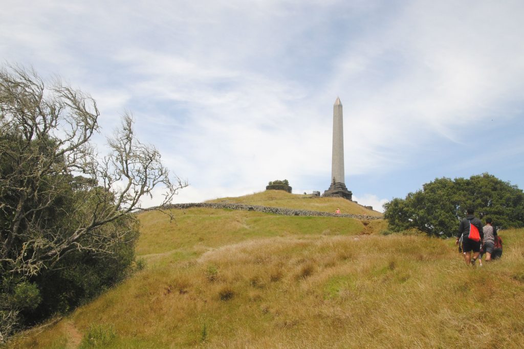
Maungakiekie – One Tree Hill
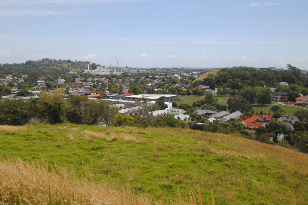
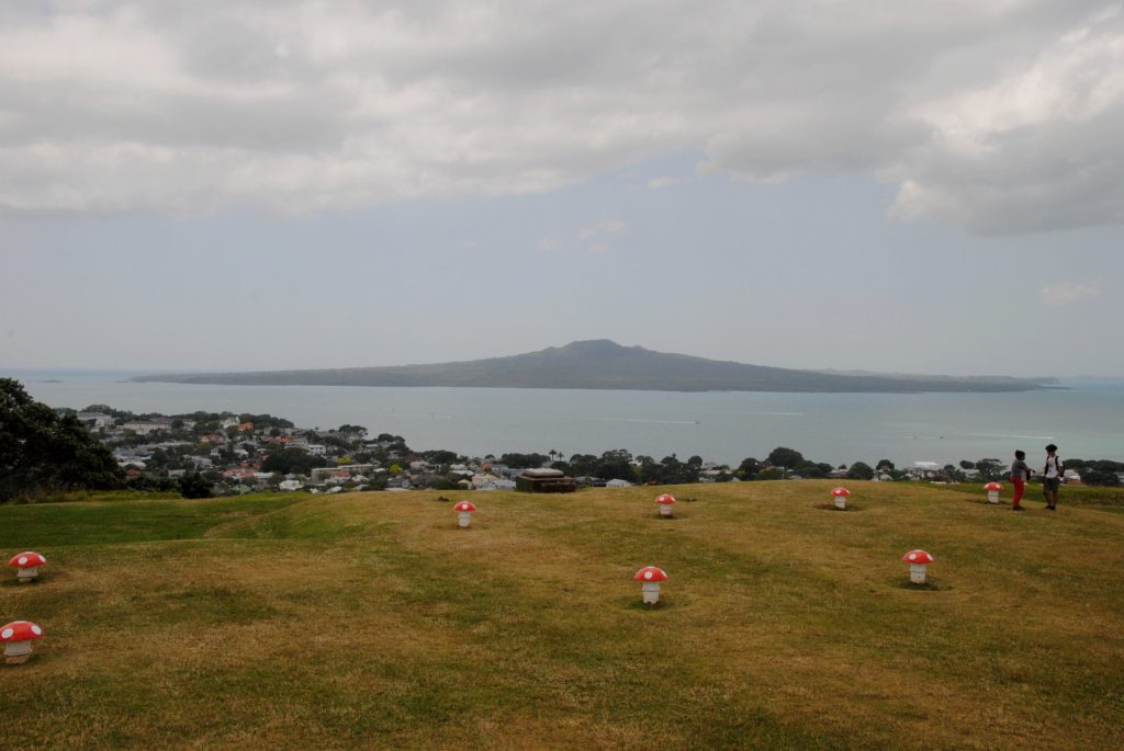
Maungakiekie (One Tree Hill) is a little further away from downtown Auckland, but the views are no less spectacular. In fact, I really appreciated this one for the panoramic views of both coasts! From the summit, you can look out to the west across Manukau Harbour and the Waitakere Ranges, and to the east, across the Auckland suburbs, the city center and over to Rangitoto Island! Historically, Maungakiekie was the largest and most populous of Maori settlements on the extinct cones in Auckland, inhabited from the 14th to the 18th centuries.


Te Kōpuke – Mount St. John
This perfect little volcanic scoria cone has a crater around 150m wide. This spot is almost hidden among the suburbs, and each time I’ve visited, I’ve felt a sense of peace and exclusivity here. In fact, I almost hesitate to include it in my list- it only managed to stay on the list because literally no-one reads my blog anyway! This maunga was the site of a Maori pa and you can see evidence of earthworks (including kumara pits near the summit) as you take the short stroll around the crater rim.
Ohinerau – Mt. Hobson
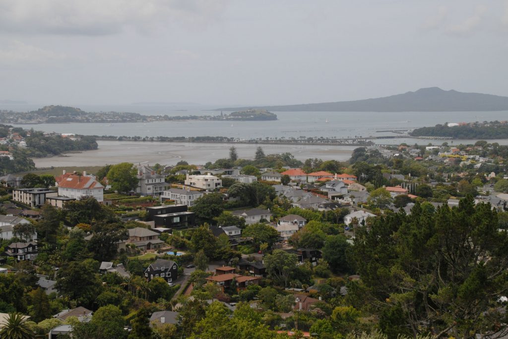
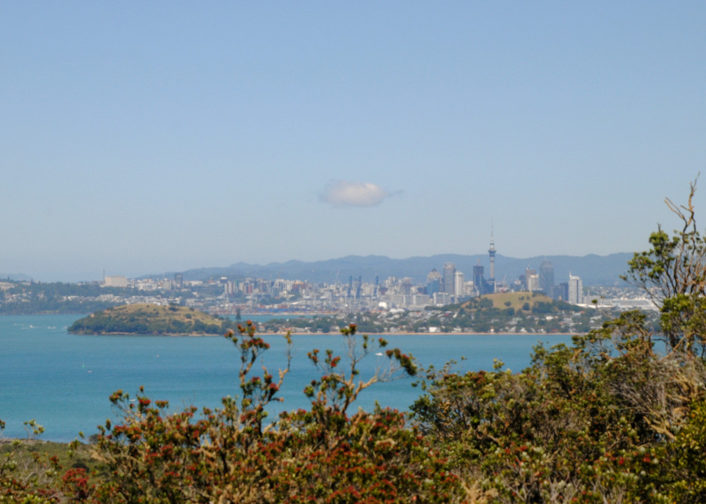
Ohinerau (Mt. Hobson) is an easily accessible site, located not far from Newmarket. A quick, easy walk up to the summit leads to some nice views across the city, Hobson Bay, Orakei Basin, and Rangitoto Island. This volcanic cone has been significantly modified, first my Maori earthworks, and much later when a water reservoir was built on the side of the maunga. There’s plenty of spots on the flat top of the maunga to sit and enjoy the views across the city and harbor.

Rangitoto Island
Rangitoto is the youngest, and the largest of all the volcanoes in the Auckland field. If you’re looking for the volcano with the most traditional cone shape in the Auckland field, then this one is your guy! If I was forced to pick a favorite from all of the volcanoes I have visited so far, then Rangitoto would be it. The panoramic views from the summit are just astonishing. For more images and info on Rangitoto, check out my blog post Hiking Rangitoto Island.

Ōwairaka – Mt. Albert
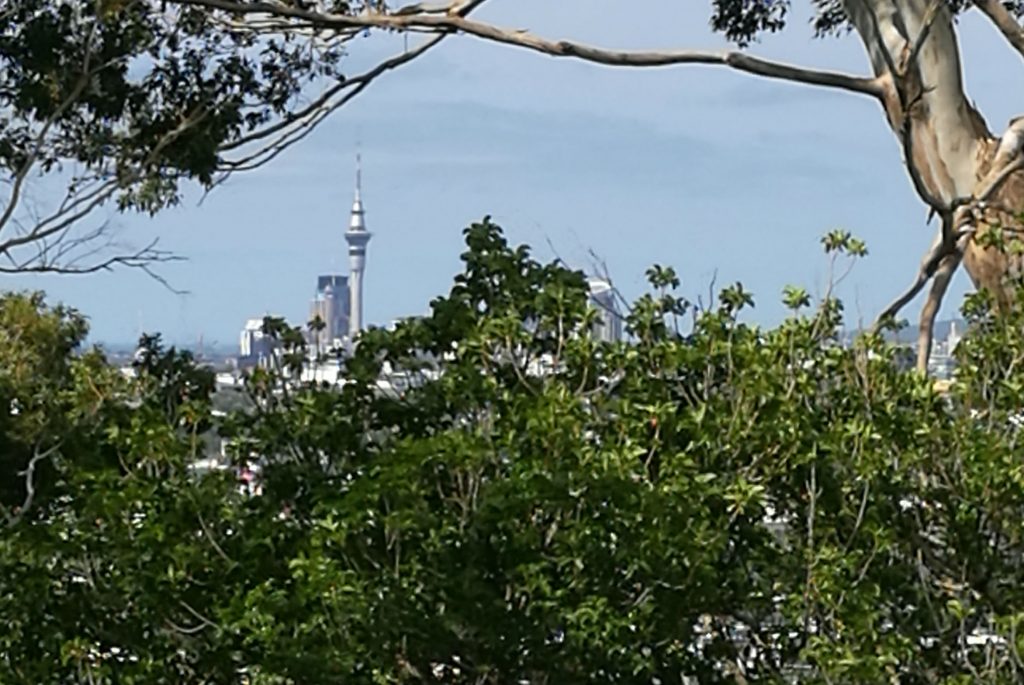
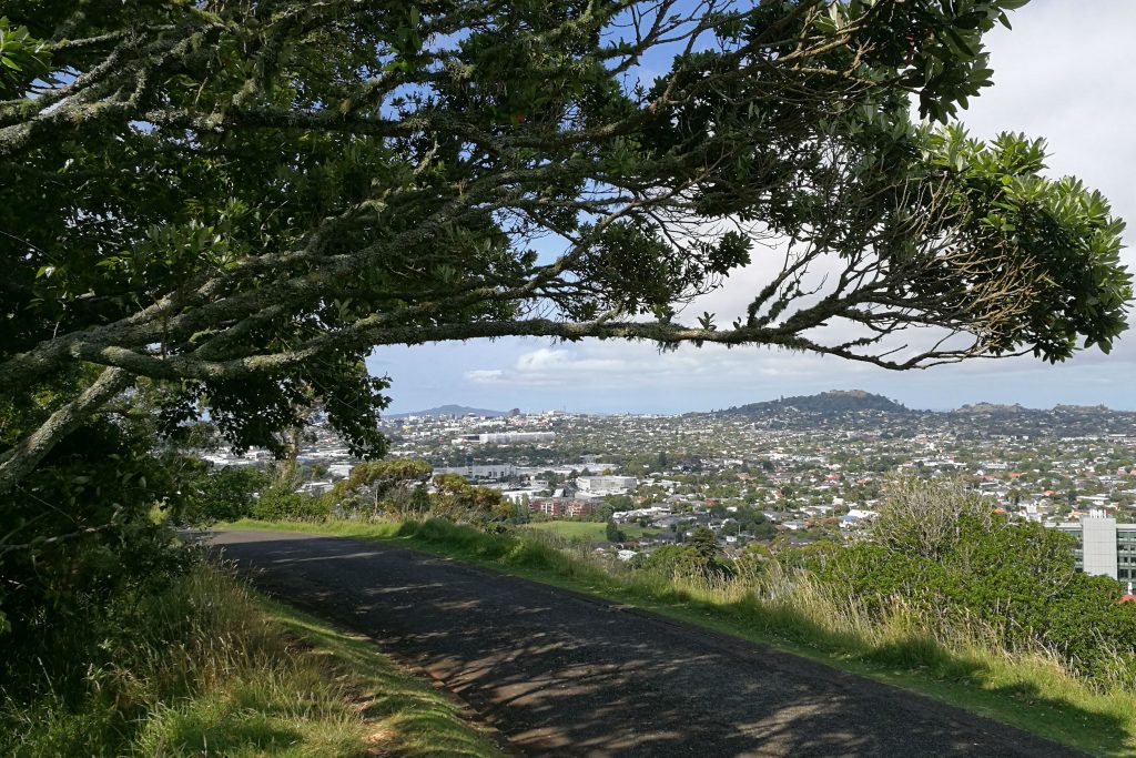
Owairaka (Mt. Albert( is one that’s close to ‘home’ and is another volcanic cone that has had significant structural alterations over the years. Having said that, it’s still a nice spot to wander. On my first visit, I entered from a little gate within the suburbs and had to bush bash up to the main pathway and adjacent sports fields that were playing host to dog walkers and some kick to kick between friends. A short stroll a little further up to rim offered solitude and some nice views through the trees, with some especially good views on the pathway back down to the base of the maunga.

Takarunga – Mount Victoria
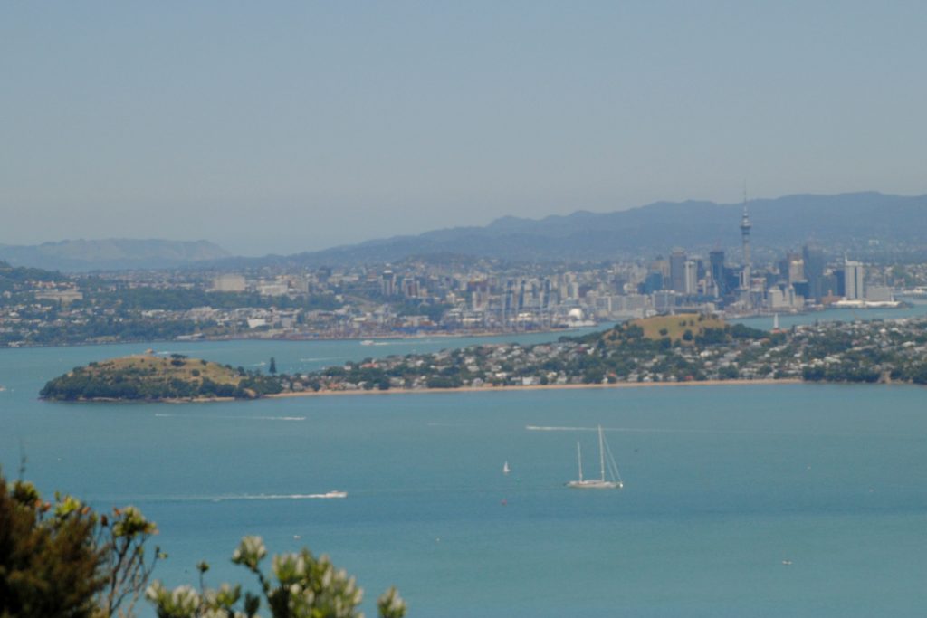
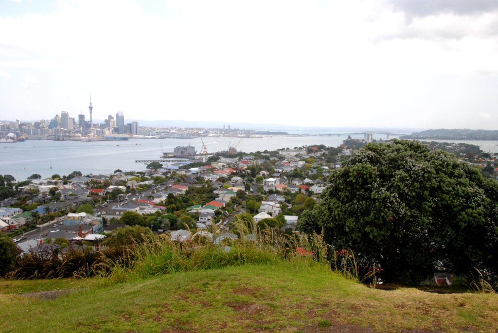
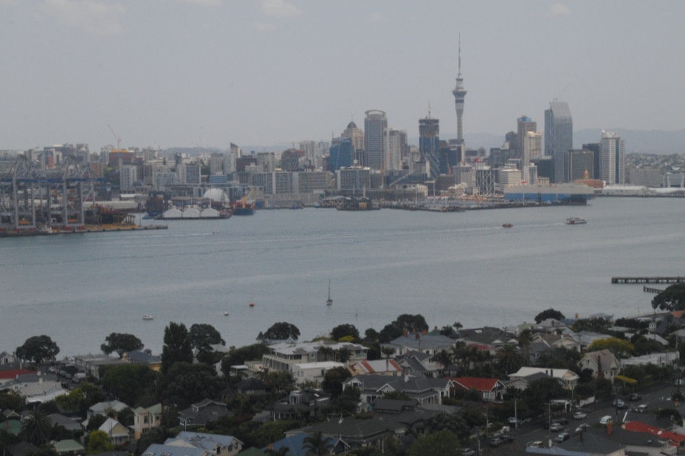
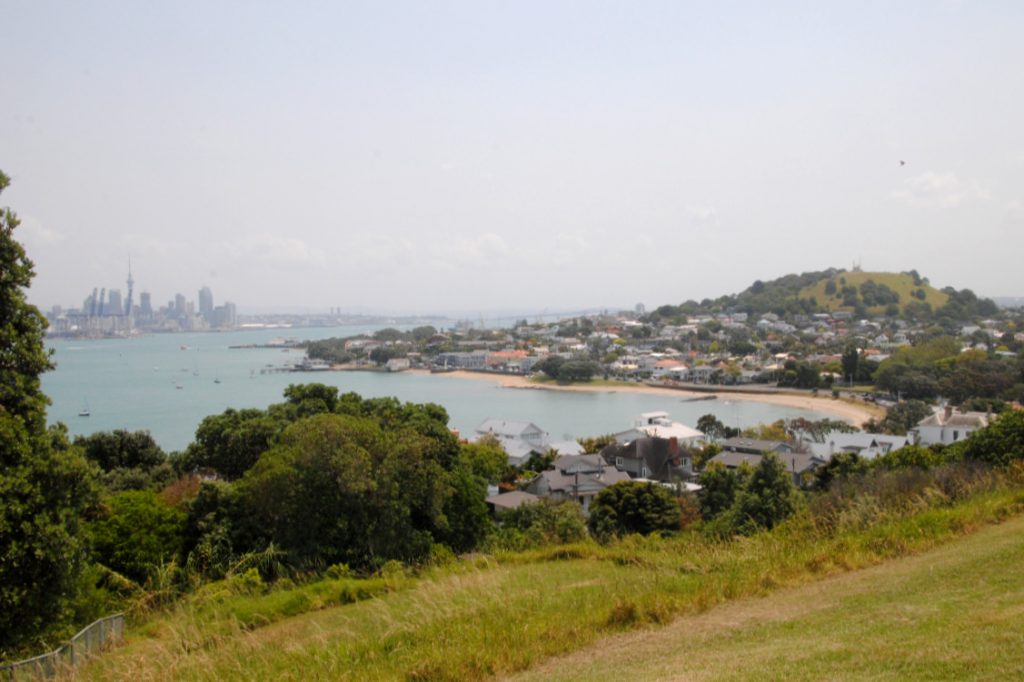
Just across the harbor, in Devonport, Takurunga (Mt. Victoria) offers some spectacular views. From the summit of Takurunga, you can look back across the harbor to Auckland, as well as out East to Rangitoto Island! Check out more information about Takarunga (Mt. Victoria) in my blog post on The Best of Devonport.
Maungauika – North Head
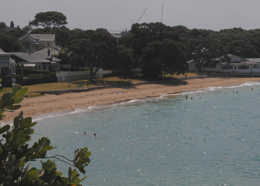
Maungauika (North Head) is another volcano on the north shore, just a short walk from the main street in Devonport. This volcano formed a headland at the north of Auckland’s harbor, and the site was used for military fortifications and coastal defense from the late 1800’s until the 1950’s. From the trails, you’ll see some epic views across Devonport’s beaches, the harbor and back towards the city (as well as down towards neighboring Cheltenham Beach). More info on exploring Maungauika can be found in my blog post on The Best of Devonport.
Lake Pupuke
A little different to the volcanic cones, Lake Pupuke is an explosion crater that filled with fresh water (no rivers or streams feed the lake!). The lake is a great spot for a peaceful picnic or stroll, and is now used for non motorized water sports.

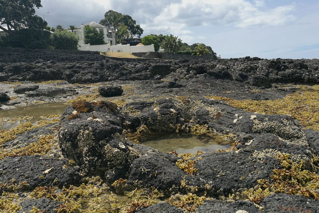
A special mention to the Takapuna Fossil Forest, where tree molds were formed after the lava from the Pupuke Volcano flowed through a coastal forest and created these unique formations. This coastal reef is easily explored during low tide. If you’re going to check it out, start walking from Takapuna, and continue on along the coastal walk towards Milford Beach.
Orakei Basin
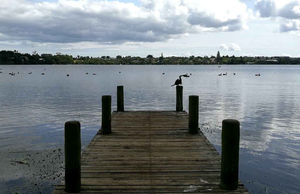
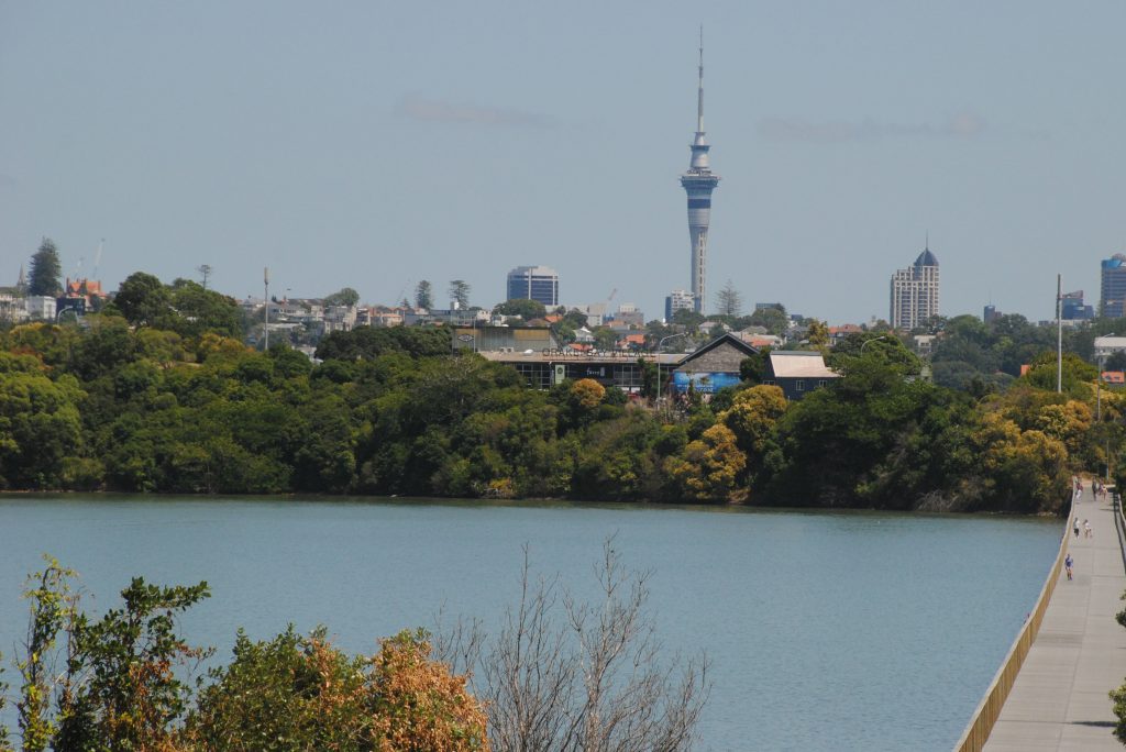
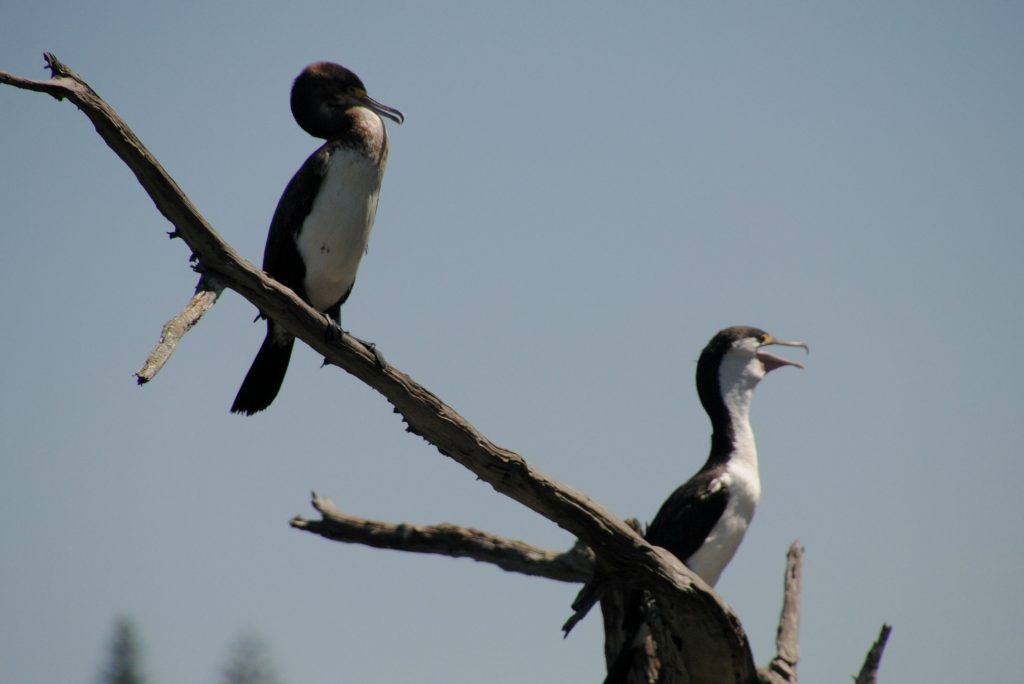
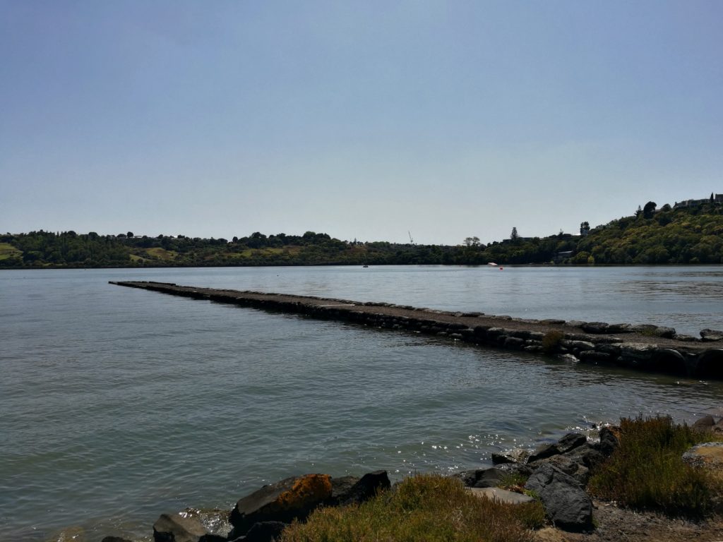
Orakei Basin is another explosion crater, just south of the CBD. This crater is now a tidal lagoon around 700m wide. The basin is popular for watersports, and as a result, lacked a bit of the peace and tranquility of Lake Pupuke, but there were a few birds around on the Purewa arm of the basin. I’ve included it, because there are a couple of nice features – it’s a nice easy trail around the basin, the birdlife on the Purewa arm, and that one money shot view of the city skyline, but to be honest, it’s not somewhere I’d return by choice.
Mangere Mountain
I’ve updated my post to include Mangere Mountain. I stopped off here on a weekend road trip to the Coromandel. Located on Auckland’s west coast, it’s one of Auckland’s largest volcanic cones, and has some spectacular views of both coasts! If you do visit, make sure to walk the trail that winds it’s way around the rim of the crater. Look down into the crater to see the lava cones, and look out for the Maori pa earthworks that are a major feature of the site.
What do you think of these volcanoes, and their views? I’ve only explored around 1/5th of Auckland’s volcanoes… 40 odd to go!! Let me know if you have any favorites that I should make sure to visit?


