I’ve been obsessively stalking transfer cars since I arrived here in Auckland looking for the perfect free transfer hire to match with my weekend off and one finally came up for an appropriate weekend. So, I jumped at the chance, got the rental and planned a trip up north to visit Cape Reinga.
After a quick day trip up to the Bay of Islands in January, I have been keen to return and explore a little more. One of my bucket list items was definitely Cape Reinga at the top of the North Island, where the Pacific Ocean meets with the Tasman Sea.
I had a three day weekend and a full 2 day rental with the transfer car so I planned to make a round trip by driving up the West Coast of the North Island, then across to Paihia and back down to Auckland. Here’s my itinerary and all the best bits that you’ll see along the way.
If you don’t have time to read thus now then why don’t you pin it for later, as there’s lots of great stuff to check out.
Auckland to Paihia via the West Coast
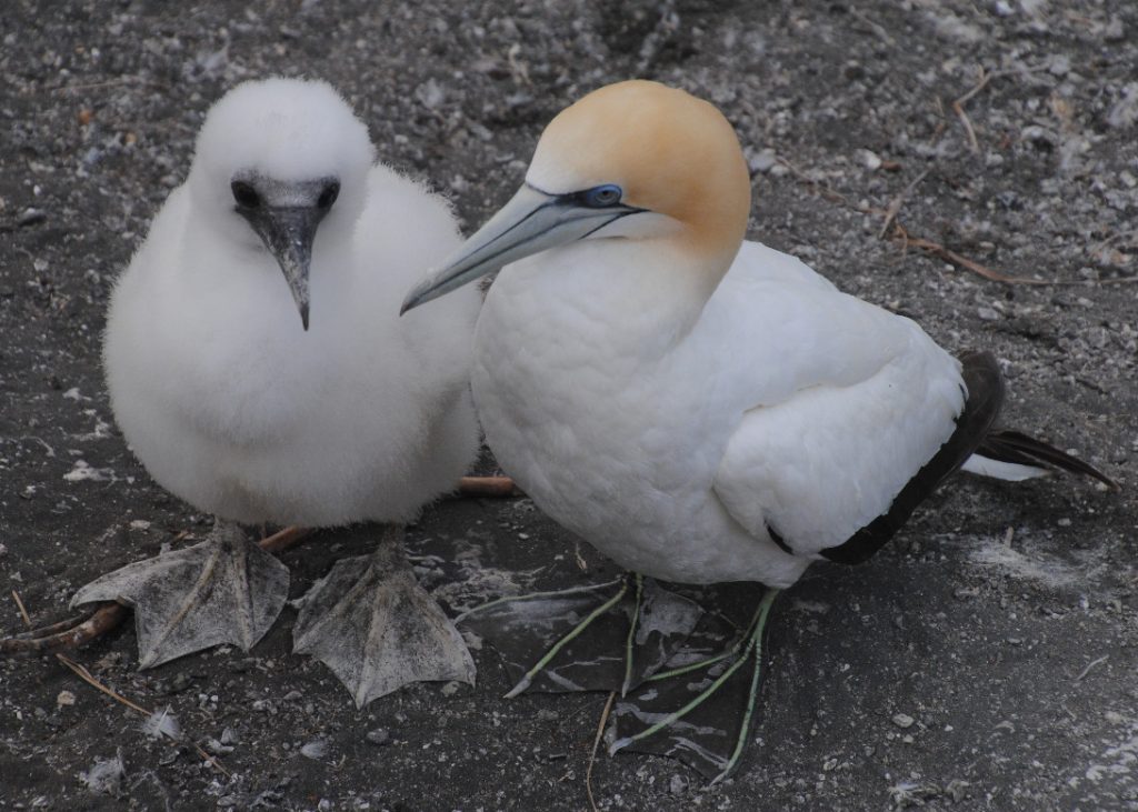
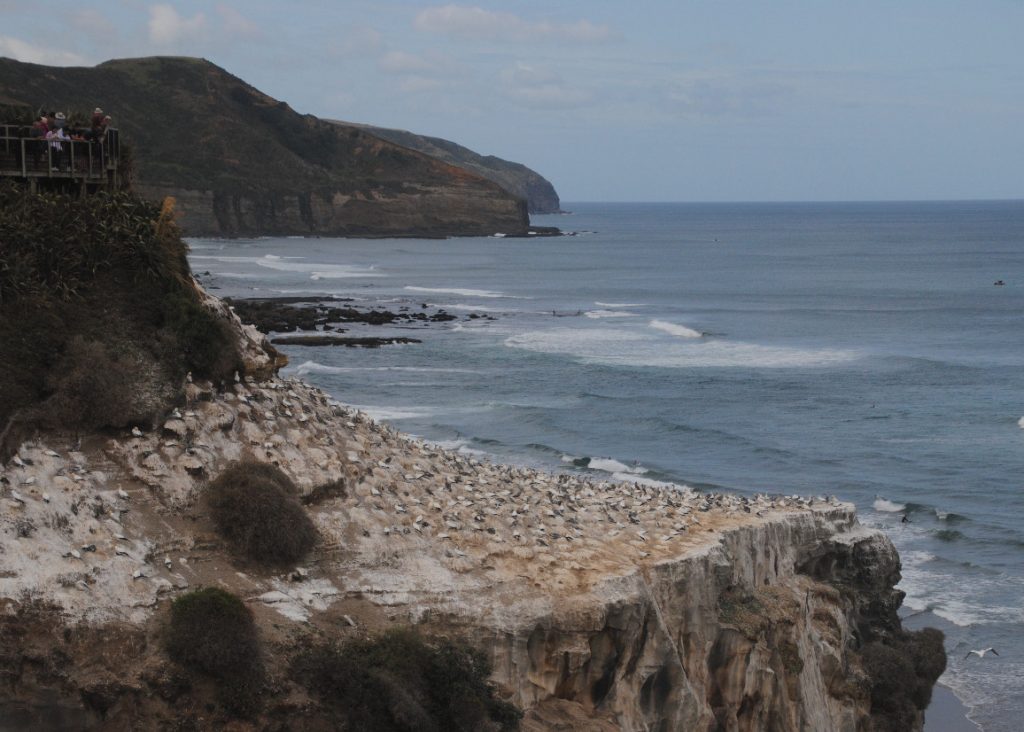
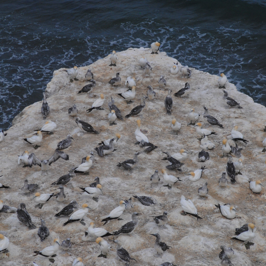
To start out my road trip I headed across to Auckland’s wild west coast for a visit to the gannet colony at Muriwai Beach, located around 40-minutes’ drive from Auckland. This is one of only three mainland gannet colonies in New Zealand, and reportedly up to 1000 pairs of gannets nest here each year. Once you’re found a park at Muriwai, a short walk from the parking lot leads you directly to the gannet colony that’s clinging to the cliff edges above the roaring Tasman Sea. It’s a pretty well-established path, with a little up and down on the way to the Gannets.
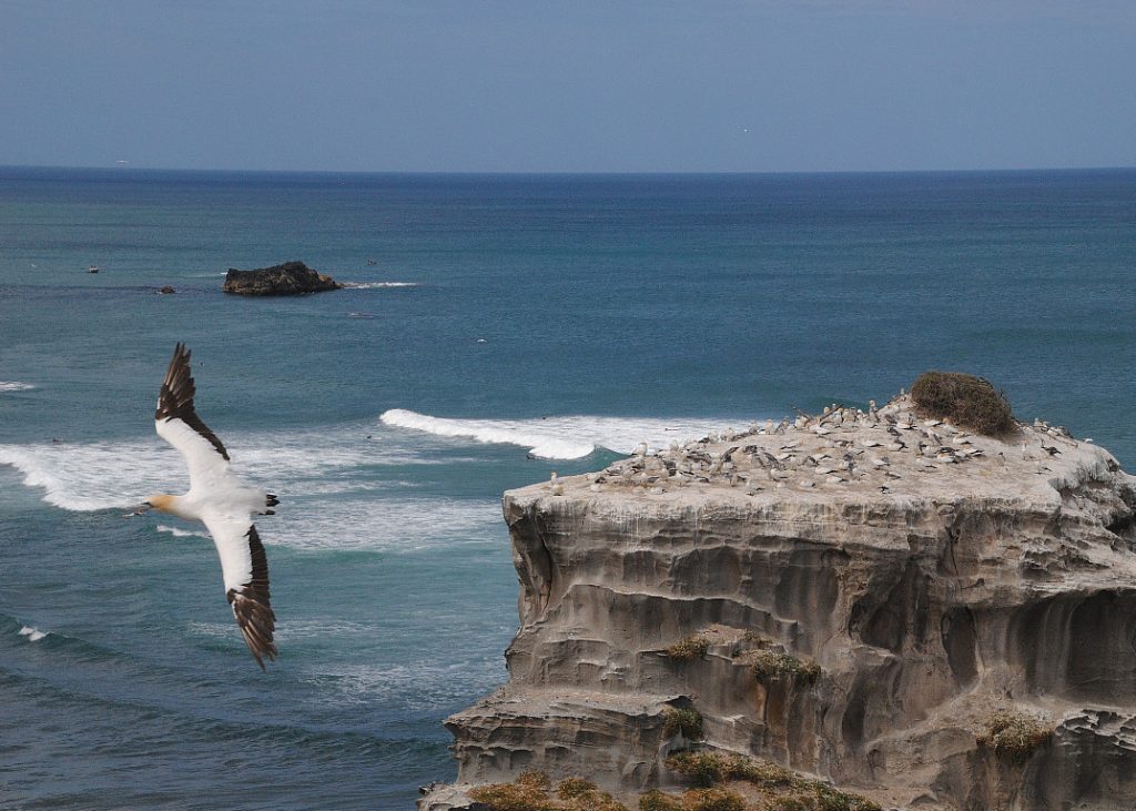
You’ll smell the gannets before you see them, it’s lucky that those fluffy chicks are so darn cute, otherwise it might not be so appealing to stand there gazing across the colony with that aroma enveloping you! I was lucky to see lots of chicks in several stages of development, and parents coming in and out to feed them. Hot tip: While there’s plenty to explore out here, if you’re really coming to see the Gannets, make sure it’s in season before you trek out to Muriwai (generally August to March).
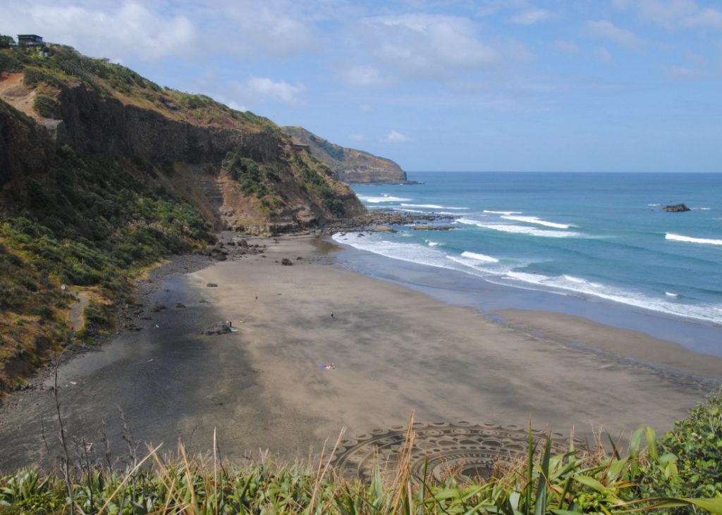
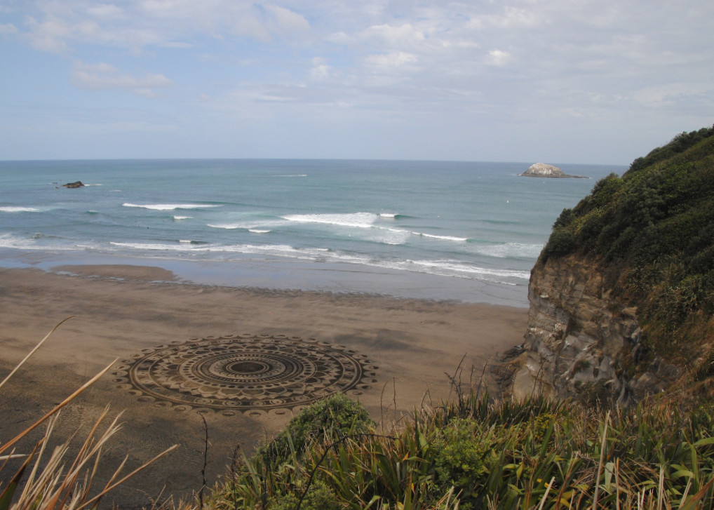
If you keep walking along the trail past the main viewing platforms, you’ll come to an overlook over Maukatia Bay. The day I was there, there was some wonderful sand art on the beach. Check it out – it’s such a lot of work to be erased by the tide at the end of the day.
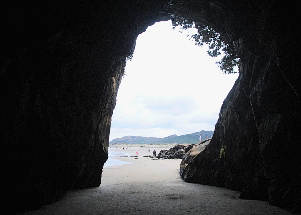
Back at Muriwai beach there is grotto/cave and rock ledges to explore when you’re done with the gannets. I went into the grotto but didn’t go too far onto the rock ledges below the cliffs, because the tide was coming. If you have the time, then definitely take the opportunity to have a little wander around these as well because it was quite interesting down there. You might also like to take a walk on the black sand beach, or maybe a dip in the ocean. The surf and currents can be quite unpredictable here, so when the beach is patrolled, always swim between the flags.
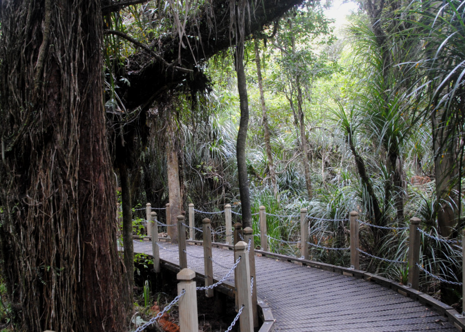
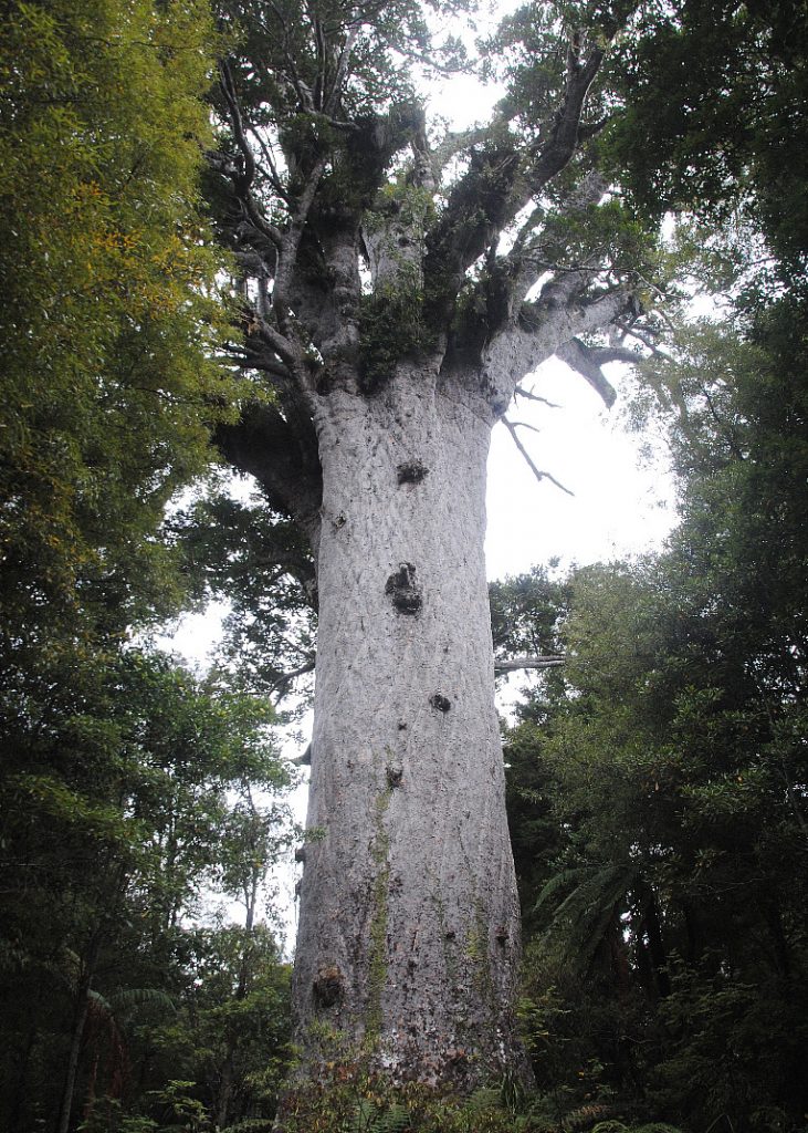
From Muriwai I continued north towards Waipoua Forest and Tane Mahuta. This is around 3 – 3 ½ hours’ drive from Muriwai, so if you have time, you might like to break it up by stopping at the Kauri Museum in Matakohe. My start to the day had been later than planned, so I drove straight on to the forest, and my next stop at Tane Mahuta – which is the largest known living Kauri tree in New Zealand. The drive through the Waipoua Forest was spectacular, with the canopy of trees just about covering the narrow, winding road. Once you reach the roadside parking lot for Tane Mahuta, it’s just a short walk along an established boardwalk to Tane Mahuta and a couple of viewing platforms with benches so that you can sit and enjoy the atmosphere of the forest. Importantly, don’t forget to wash your shoes thoroughly at the Kauri dieback stations before and after entering the forest to prevent the spread of disease to this part of the forest. If you haven’t already had lunch, then bring along a picnic and there’s a picnic area across the road from Tane Mahuta where you can enjoy a short break before hitting the road again.
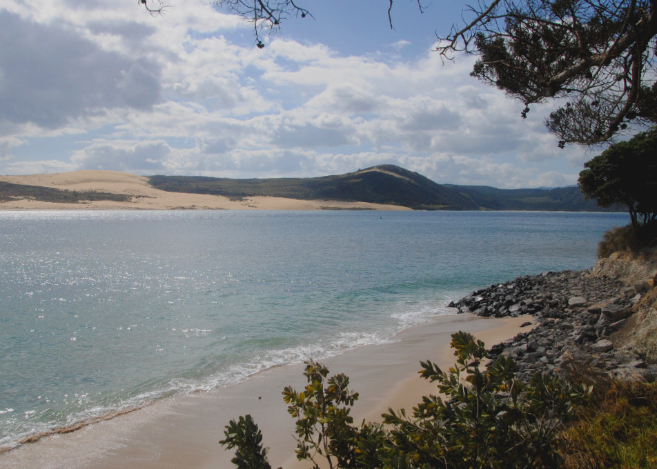
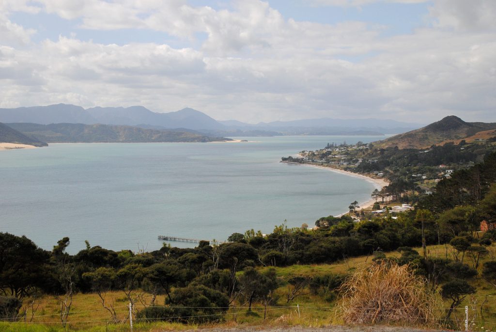
Continuing north, it was only around 20 minutes’ drive until I came across a viewpoint on the southern headland overlooking Hokianga Harbor. The views from here were stunning – azure blue waters in the harbor mouth, flanked by towering sand dunes along the West Coast. From here the road ran along the harbor for quite some time, with some more stunning views along the way.
As you travel east, you’ll notice a couple of signposts pointing to the Koutu boulders and Wairere Boulders. Similar to the more well-known Moeraki Boulders, these boulders lay on beaches along both sides of the harbor in several locations. I didn’t have a chance to check them out because I had a late start out of Auckland, but I’d do it if I had the chance to take the trip another time. Soon after the settlement of Horeke, the road leaves the harbor and travels inland across the north towards the east coast, and Paihia.
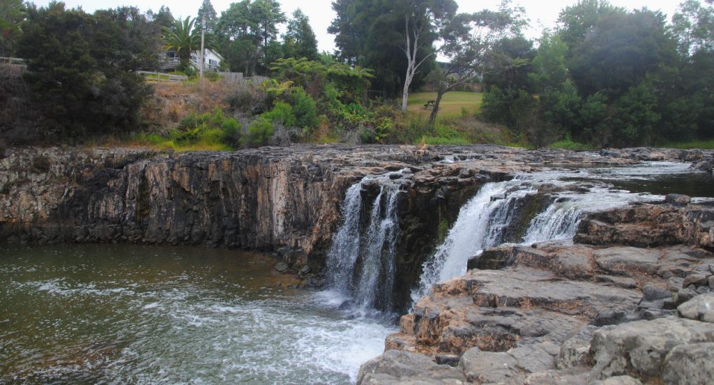
Just outside of Paihia I made a final, quick stop at the Haruru Waterfall before heading into town to check into my hostel. The Haruru Falls are a small, crescent shaped waterfall located on the Waitangi River. There’s a walk from the end of town out to these falls, which you could enjoy if you have more spare time to stay around in Paihia.
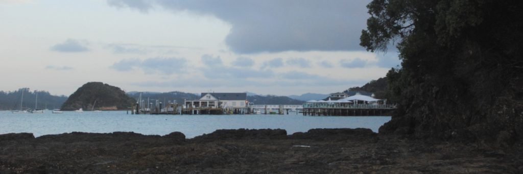
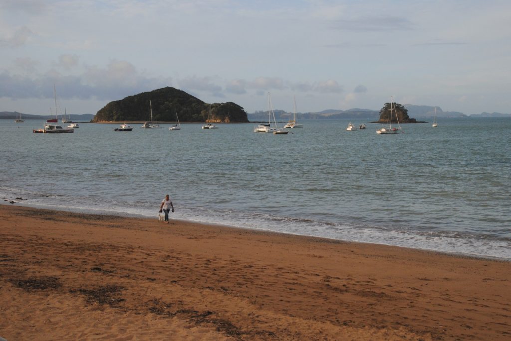
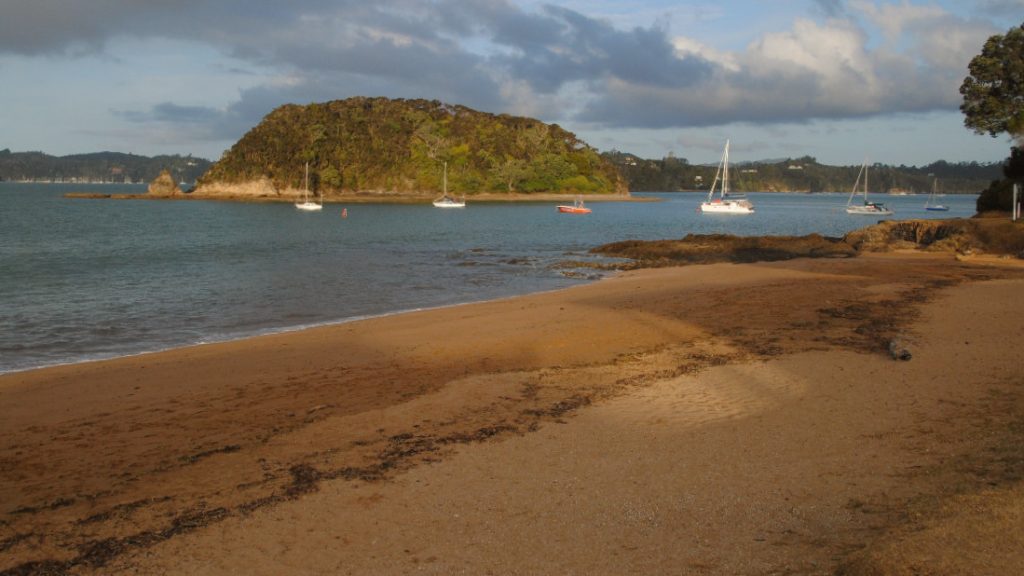
Paihia is a pretty compact little town located on the beachfront in the Bay of Islands with gorgeous views across the harbor and out to sea. Just about anywhere that you stay in Paihia is within easy walking distance to everywhere you need to be and I definitely recommend taking a walk along the beach front around sunset for beautiful views of the harbor before you head out for dinner. There are a few restaurants along the waterfront that might be perfect for that essential Bay of Islands sundowner!
Cape Reinga Dune Rider tour
The following day, I headed out to Cape Reinga on the Dune Rider tour with Explore NZ. My original plan was to do the drive on my own, but it was recommended to me to take the tour and it was a great decision in the end. Even the tour was a long day of travel, so for that fact alone I’m glad that I took the tour, but on top of that, the tour also took in some locations that I wouldn’t have been able to visit on my own.
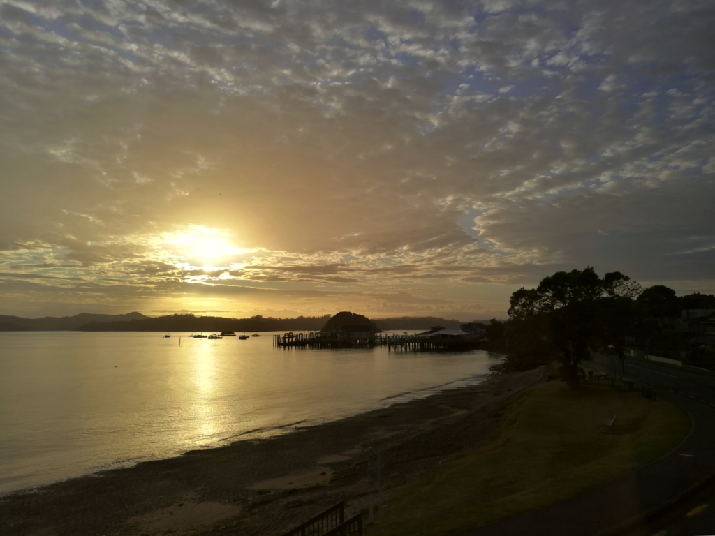
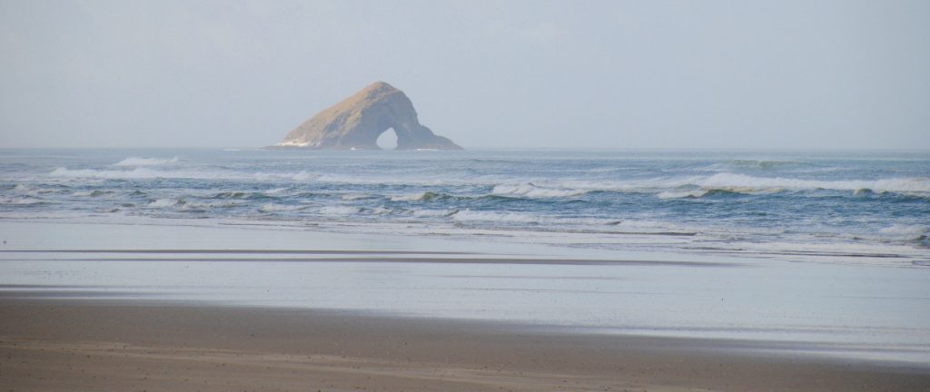
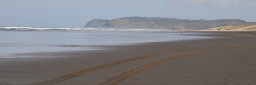
After doing a few laps of Paihia to pick up passengers (made tolerable by the epic sunrise happening across the harbor), we set off in the truck to drive from Paihia across to the west coast. The guide drove down onto Ninety Mile Beach, popped it into 4WD, and we traveled along the beach for 40 or 50 km’s with the Tasman Sea crashing to shore on one side, and the sand dunes hemming us in on the other side. The beach is open to private vehicles as well but should only be driven at low tide. Fun fact: 90-mile beach is not 90 miles long – it’s in fact just 54 miles (88km’s) long!
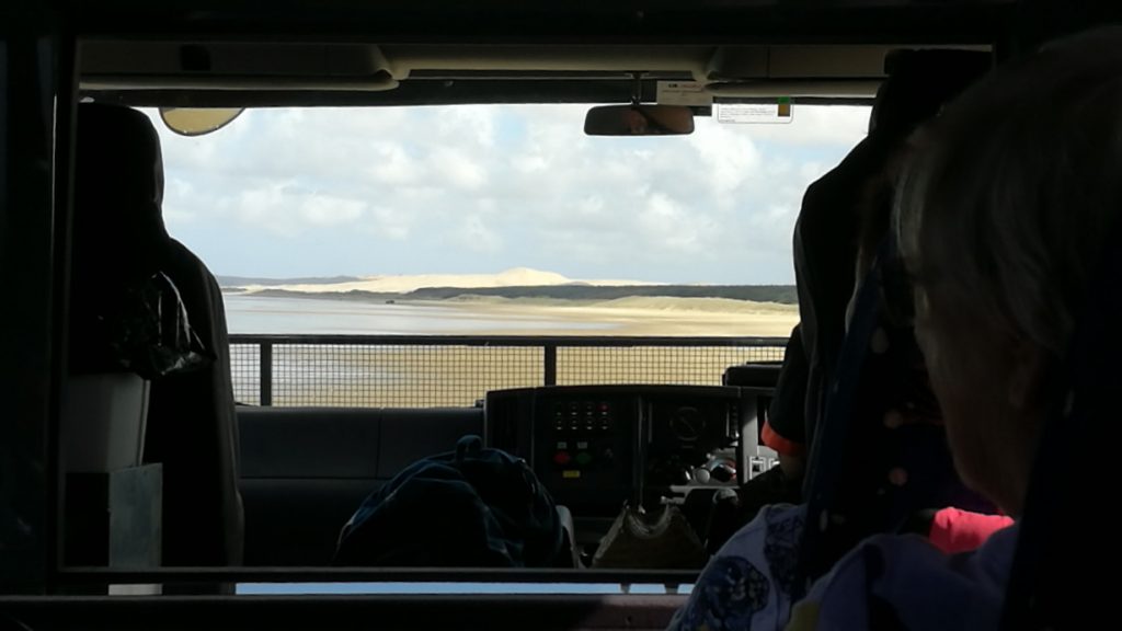
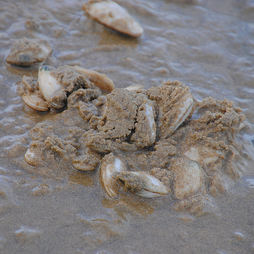
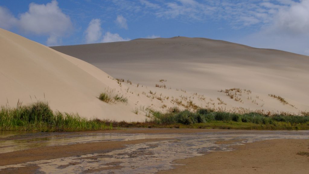
Part way along our drive along the beach, our guide pulled up to give us the opportunity to have a wander on the beach. He found a bed of tuatua (a species of clam) buried in the fine sand along the tide line, and after checking those out, we had a chance to wander the beach and take some photos before getting back in the truck to continue along the beach until the sand dunes began to grow taller, and we took a right turn into the Te Paki stream.
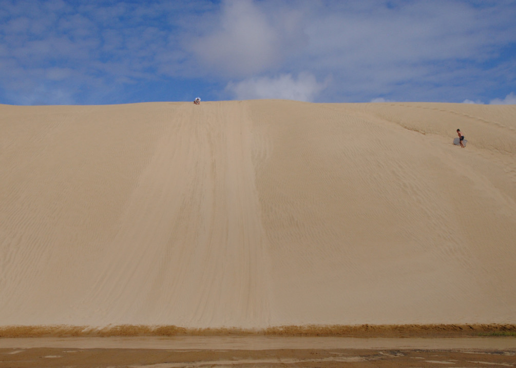
A bit more four-wheel driving through the stream led us right to the base of some towering sand dunes, where we had the opportunity to get out and enjoy sand boarding down the dunes. If you’re not taking the tour, you might not be able to get onto the beach, but if you’re determined to sandboard, then you can head to the end of Te Paki Stream Road, and there’s a setup for hiring sandboards at the base of the dunes just before the stream.
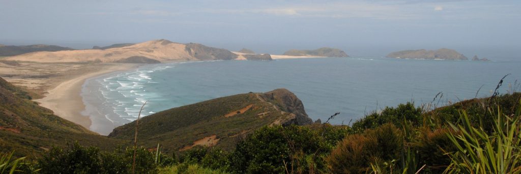
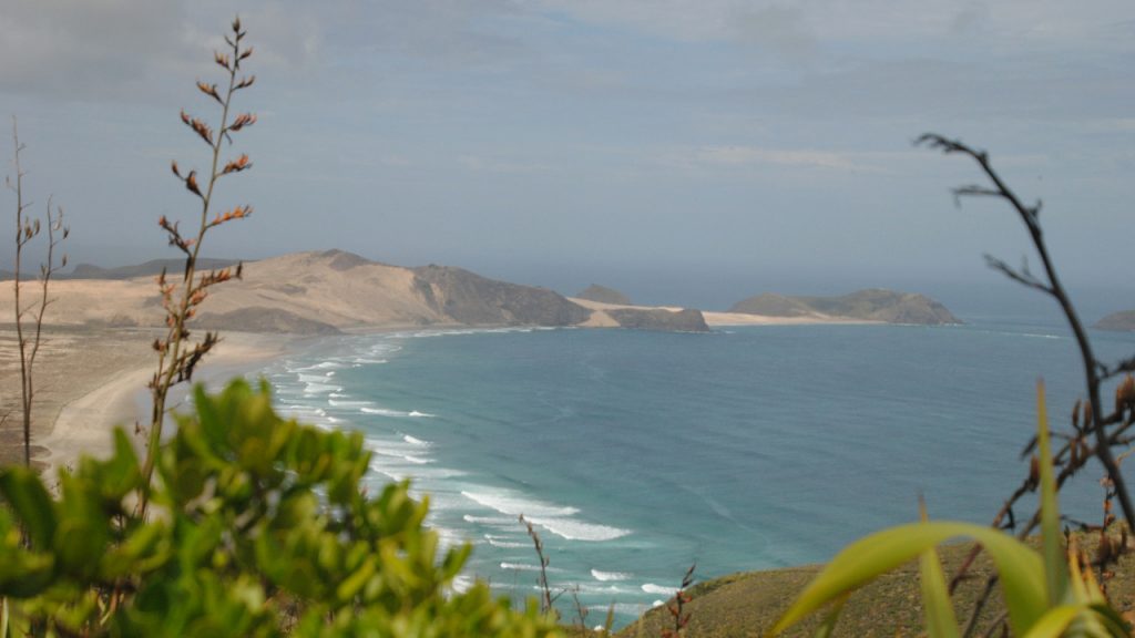
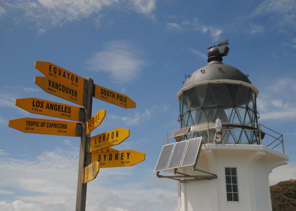
After everyone had a chance to do the sand boarding, we were back on the truck for the 20-minute drive up the road to the Cape Reinga parking lot. From the parking lot, it’s a 15 or a 20-minute walk down a paved trail to the lighthouse. Here’s where you’re right on the northernmost point of New Zealand where the Pacific Ocean and Tasman Seas meet. The cape was originally formed by a marine volcano and became part of the mainland due to massive amounts of sand drifting northward.
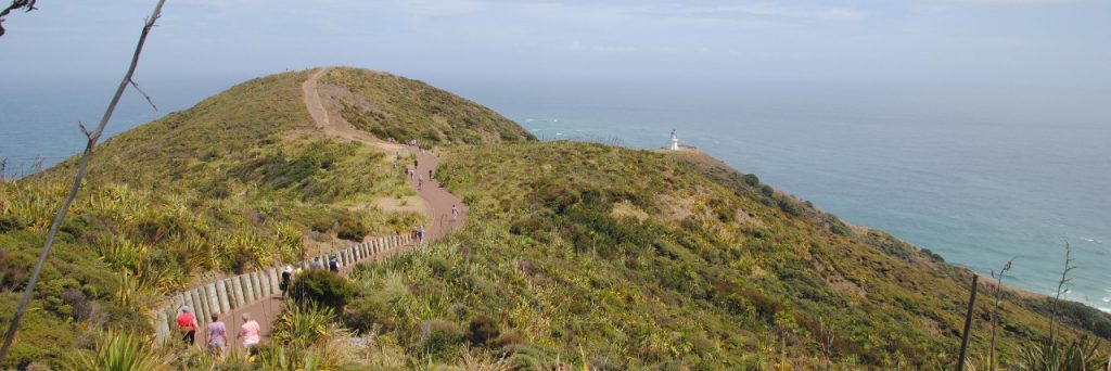
According to Maori Legend, this is where Kupe, one of the earliest known voyagers to NZ said that was the point from which his people would depart to their distant homeland. Just to the right of the lighthouse is another rocky point jutting out to sea, this is known as Te Reinga. Here, there is an ancient kehike tree clinging to the rock, from which legend says the spirits descend the steps formed by the tree roots to reach the water, to continue their final journey to Hawaiki, the spiritual homeland. I find it a beautiful concept and I’d love to be able to read more about it and give these stories a little more justice as my explanation is sadly lacking.

The lighthouse here was built in 1941, and was the last attended lighthouse built in New Zealand and replaced an older lighthouse built on an island just south west of the Cape. The lighthouse stands 165m above sea level, flashes a light out every 12 seconds, that can be seen from 19 nautical miles away – one of the first lights that mariners will see when arriving from the Tasman Sea or the northern Pacific Ocean.
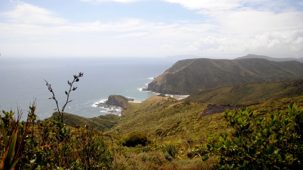
There are great views of the lighthouse, Te Reinga, and the adjacent bays as you make your way up and down the trail. Take your time and enjoy them on the way down as well as on the way back up because you’ll get a different perspective from each direction. Halfway down the paved trail, there was a little unformed trail to the left, which you could take to make a little bit of a loop rather than just a straight out and back down to the lighthouse. It’s not an official trail, but plenty of people were using it, and if you elected to divert, you would likely enjoy loft views from the headlands. I had to get back to the truck, so just continued along the main trail back to the parking lot.
Once we were all back on board, we headed down to the nearby Tapotupotu Bay for lunch and some lovely views of the crescent shaped beach that’s hemmed in by some jagged rocky cliffs.

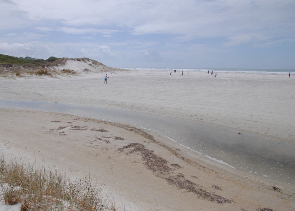
After lunch, it was time to get back in the truck for the long drive back to Paihia. We did make one more stop at a beautiful white sand beach in Rarawa Beach. When I say white sand, I mean it – it was really white! After a quick stop here to enjoy the beach and stretch out legs once last time, we hopped back in the truck and headed for Paihia, making one last comfort stop at the Kauri unearthed store before the long drive through the inland to Paihia. The trip arrived back into Paihia around 6 pm, making it quite a long day but well worthwhile, given the benefit of driving along 90 Mile Beach.
Back in Paihia, after a long day on the road, I’d suggest a stroll along the waterfront just to stretch your legs. You might just want to have a quiet dinner in Paihia, or if you’re feeling a little more adventurous maybe take the foot ferry across to Russell and have dinner in the Duke of Marlborough Hotel it’s just a short 30 minute ferry ride across the harbor if you go just make sure to check the last ferry departure time (usually 9:00pm) to make sure you don’t get stranded across there.
The following morning, I had an early wake up, as I was returning my rental car and beginning my journey back to Auckland, which really concluded my time in Paihia. It was a creepy drive along the dark, foggy country roads to Kerikeri, where I returned the car, and headed into town to catch the bus back to Auckland.
While you’re there…
Hopefully you’ll have more time to explore the region that I did. I’m really not done with the area, and this trip just left me wanting to stay (or return) and explore even further. if you have more time in the area, then here are some of the things that you could do:
- Waitangi Treaty Grounds – one of New Zealand’s most important historical sites. It was here that the Treaty of Waitangi was signed, signifying the coming together of two peoples as one. Allow yourself a good few hours to explore the grounds to the fullest. Take the guided tour, explore the onsite museum, wander some lovely trails though the property, and the embrace history and culture one after another at the Treaty House, and during a show in the adjacent Meeting House.
- Cruise off into the harbor, in search of wildlife, as you journey right to the end of the Cape Brett Peninsula, to the famous Hole in the Rock on Motukokako Island.
- If you want a little more flexibility, maybe head out to Urupukapuka Island, where you can relax on quiet beaches, or walk the Island Track – a 5hr easy circumnavigation of the island.
- Join one of the outfitters in Paihia for a sea kayak adventure around the Bay.
- If you’ve got a car, take the 30-minute drive north of Paihia to hike to Rainbow Falls.
- Staying local? You can find the Haruru Falls Track just opposite the Treaty Grounds entrance and enjoy a shaded 2.5 hour walk to the falls (one way).
- Catch the passenger ferry across to Russell and explore the town. There’s a little museum and plenty of boutique stores to wander through, as well as New Zealand’s oldest surviving church, which some lovely stained-glass windows.
- Finally, make sure to get up early one morning and take in the sunrise views from the waterfront in Paihia. I only managed to catch the views from the truck, but it was spectacular all the same.
Where to next ?
You can either drive back down towards Auckland, in which case, you could make a bunch of stops as you head south – here’s a few ideas…
- Hundertwasse Toilets in Kawakawa!
- Whangarei
- Waipu Caves
- Piroa Falls
- Leigh
- Matakana
- Tawharanui Regional Park
- Puhoi Pub
- Wenderholm Regional Park
If you’re like me, and have work or a social deadline, then you might need to drive straight through, or catch the Intercity bus which departs from the Information Center and takes around 4 hours to make it back to Central Auckland.
Map It!
Here’s a little map with highlights!
I hope you enjoyed following along on my trip to up north and I that some of these suggestions help if you are going to make the trip yourself. Let me know if there’s any questions!


